|
|

|
|
LangridgeRound Barrow(s)
|
||||||||||||||||||||||||
|
|
|
Images (click to view fullsize) |
|
|
Fieldnotes |
|
|
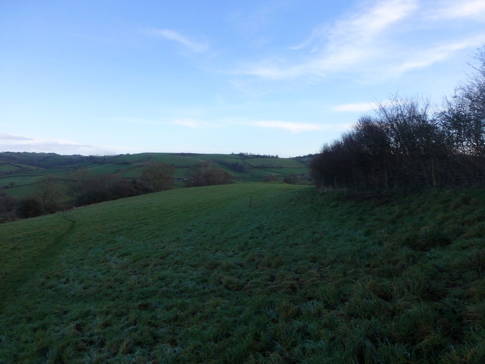
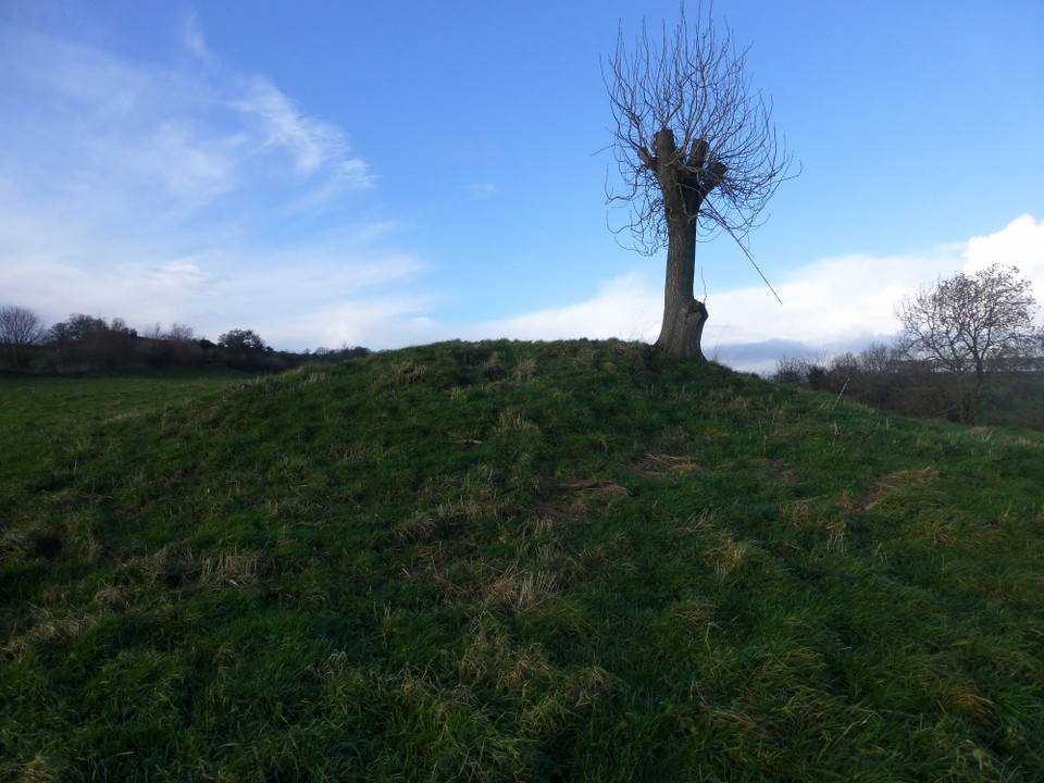
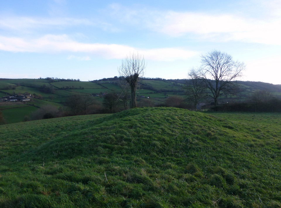
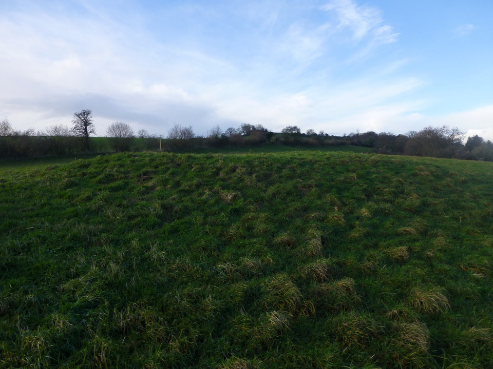
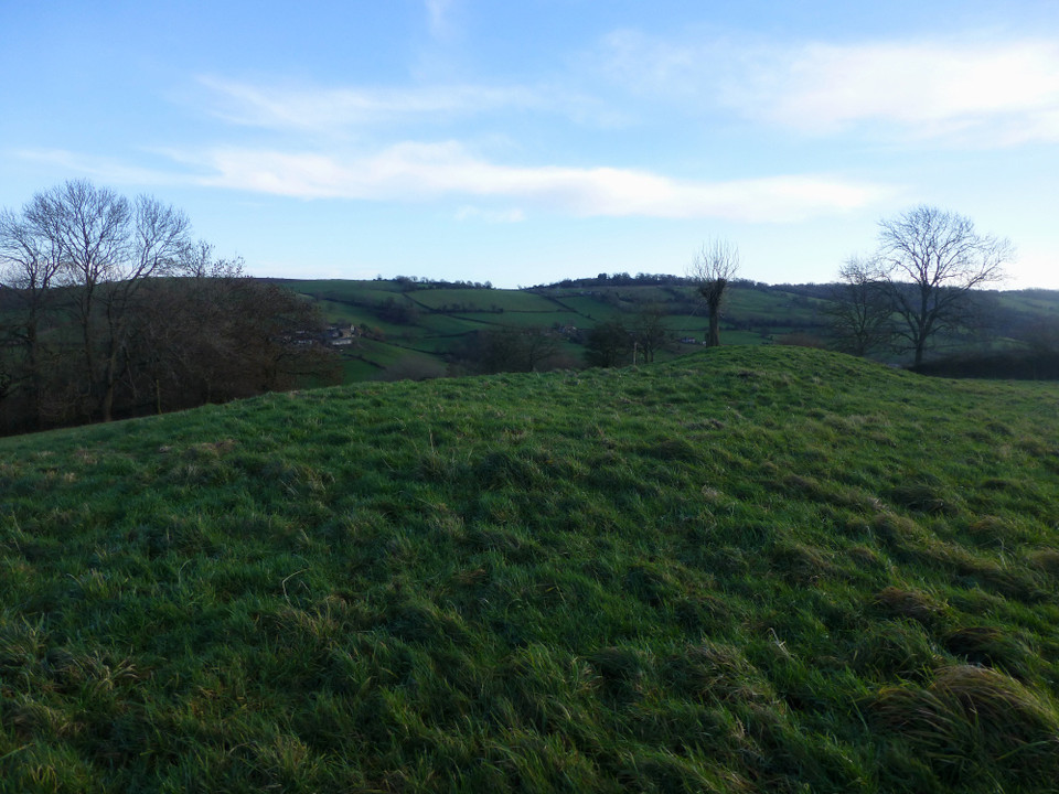
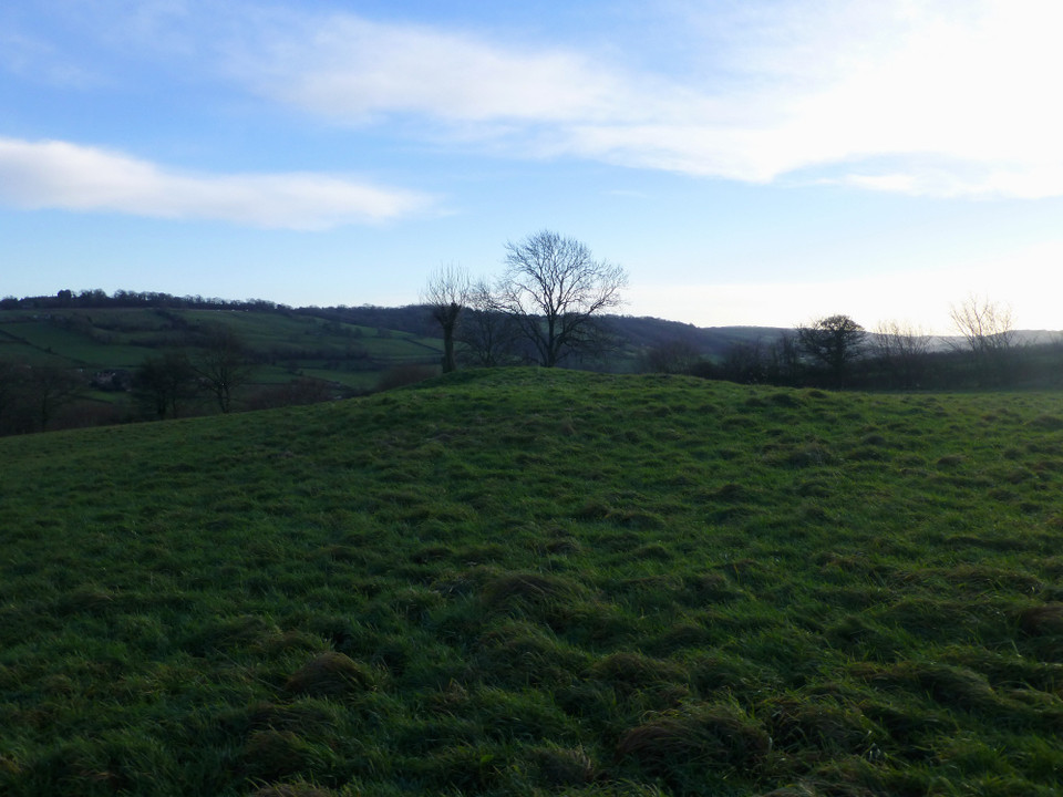
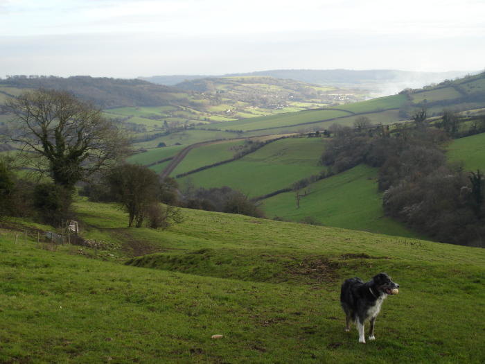
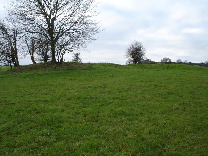
I walked here along the Cotswold Way from the Bevil Grenville monument: it's a very pleasant walk, though it was extremely hot at the time. You do feel as though you are treading in the footsteps of people of long ago, as you walk along a secluded sunken green lane with water trickling down it. To add to Moss's nature notes, in the summer sunshine the route was full of fluttering butterflies of many different species. The mounds were overgrown with nettles. It felt like a very domestic or specifically personal spot - the views are quite enclosed and limited really, and you could imagine that the people in the barrows were definitely the farmers of the valley below. The windows of the buildings down there stared up at me and I felt I was intruding. I followed a little path in the grass in an effort to find St. E..'s holy well*. I found a circular concrete capped well and assumed that was it (it was nice to think the water was still being used, even if it didn't look as romantic as I'd hoped). In retrospect I may have been looking in the wrong place - there are a lot of springs round here. As I made back for the car I realised I could see Morgan's Hill from the top of Lansdown - practically Avebury and a long way away. *finally found the name - St Eanswyth. Phil Quinn's book on the 'holy wells of Bath and Bristol region' mentions it being at ST734705. It's on the parish boundary and is on the Anglo Saxon estate charter of 931 as Eanswythe Wyllas (St Eanswyth's Well). |
 Posted by Rhiannon
8th July 2006ce Edited 24th February 2014ce |
|
These two barrows lie near to the Cotswold Way going down to Lower Hamswell. They lie just under the hill and are I believe what is termed "false crested", in other words they are slightly hidden. Last of the Lansdown barrows, before the trackway descends into the valley across the A46 up to Charmy Down, site of another group of barrows now lost. Rev.Skinner recorded this barrow group/cemetery of about 8. They were ploughed under and lie beneath an old airfield. I believe one was recorded by a Mrs.Williams, wife to Grimes, and the subsequent article appeared in Antiquary in the 1950s., she recorded them as kerbed cairns. All these bronze age barrows sit on the hills/downs that surround Bath, which must have been very marshy around the river and not suitable for settlement. Some nature notes, walking back through the fields following some giant hoofprints of a horse, I noticed a beautiful fox in the distance sitting calmly watching the dog, as he lolloped along on a quest for pheasants, he managed to flush two from the hedgerow. They were shooting down in the valley, with a noisy beater and dog, probably that was why the not so stupid pheasants were higher up with us! |
 Posted by moss
14th December 2005ce Edited 14th December 2005ce |
Miscellaneous |
|
|
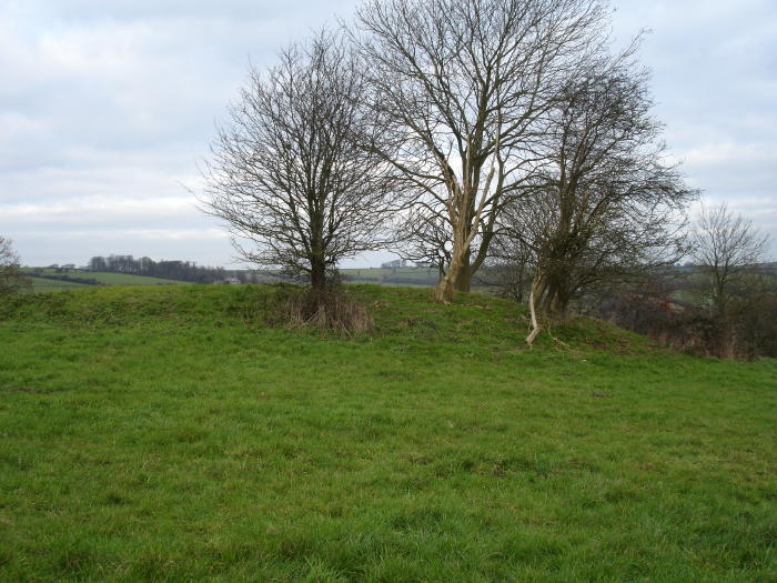
Details of Barrows on Pastscape ST 7323 7044 and ST 7328 7045. Two round barrows excavated in 1909 by H H Winwood, G Grey and T S Bush. The first contained much burnt material, animal bones and potsherds, but apparently no human bones. There were numerous flints including eight scrapers and two borers. The second barrow had an unaccompanied primary cremation. A number of flints, including one borer, were found in the material of the mound. (1) ST 7323 7045, ST 7325 7044. Two barrows, the westerly has been truncated and is 0.9m high, the easterly, 1.7m high, is partially overlaid by a dump of extraneous material, possibly from the other barrow. Surveyed at 1:2500. (2) |
 Posted by Chance
14th October 2012ce |
|
Moss's post led me to remember I'd read about these tumuli in a dusty journal (Som. Arch. Soc. Proc. Bath Branch) - Thomas Bush apparently excavated them in 1909 and found 'many flints' (chips, scrapers, etc). Curiously he found 177 in the easterly one, but only 20 in the other. He also found some bits of burnt pottery. "The tenant told us he understood that many years ago the barrow was dug into for the purpose of getting stones, but on coming across some bones the quarrying was stopped." The article also noted that the 'twin barrows' (as he called them, though it doesn't mention whether this was an actual name or just his description) are immediately north of the hedge which marks the boundary between Somerset and Gloucestershire, and lie in a field called Barland's Hill. There are springs close by, also on the boundary. |
Posted by Rhiannon 16th December 2005ce |