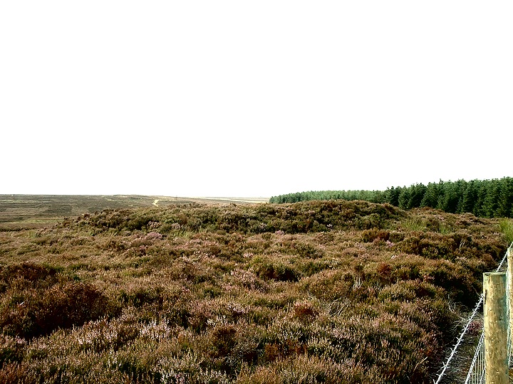
This is a difficult mound to photograph as it is so badly covered in heather and is also the most low lying barrow of the group, indeed if you draw a line linking all the barrows together then Robbed Howe marks the lowest point of that line - from here it's uphill in either direction.
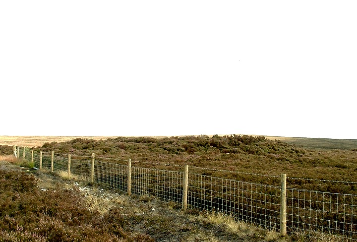
Robbed Howe is a large barrow situated quite close to a well made track that runs from the A169 to Louven Howe.
If you are approaching from the north west the path follows the line of the forestry. instead of going through the gate you should follow the fencing to your right and this will lead you to the barrow.
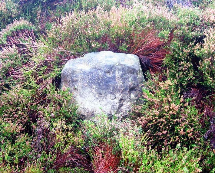
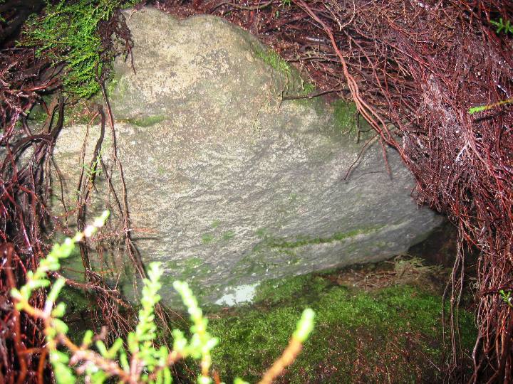
The SMR calls this monument a Bowl Barrow and gives it's dimensions and 14m across and 0.5m high. The 14m is correct but the barrow with it's heathery coat is more like 2-3m high.
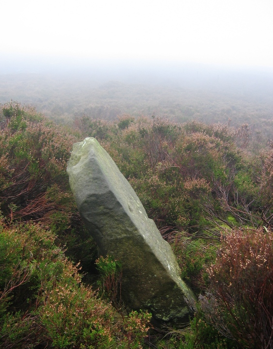
There is a large stone on the NW edge of the barrow and if you have a poke about in the heather you'll find a few more large stones. There is also a leaning boundary stone on the top of the barrow.
Robbed Howe is not particularly unusal in either it's construction or appearance. What makes it significant is that it is part of a chain of moorland barrows that begin at Black Brow on Sleights Moor and then runs roughly south to the Woof Howes. This chain has been used as a parish boundary since written records began, it also forms part of the modern political boundary. It doesn't take to a great deal of imagination to envisage this boundary stretching back into the Bronze Age when the Monuments were first constructed on the edges of existing tribal territories.

 Posted by Chris Collyer
 Posted by fitzcoraldo