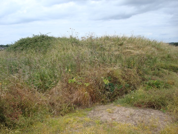
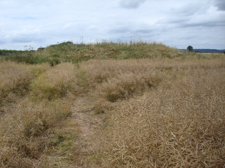
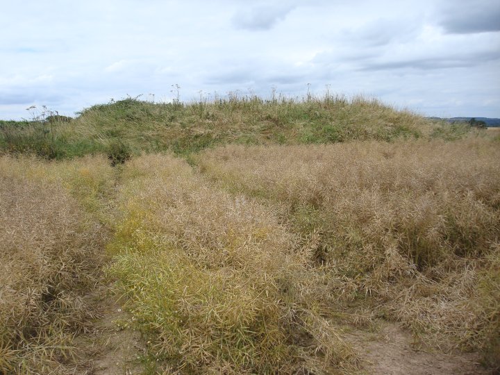
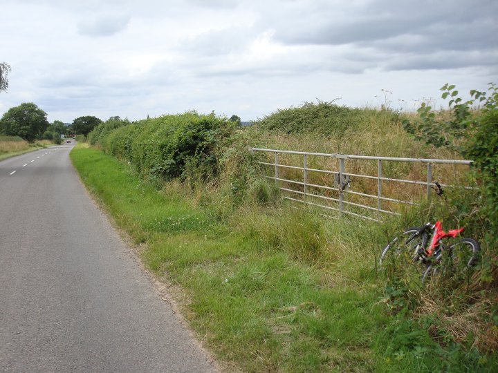
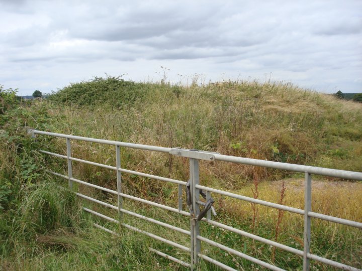
This is a classic drive-by TMA site. Again, the site has not been documented as being a Bronze Age bowl barrow as it appears to never have been excavated. Whatever it is, it is strange. I defiantly got a vibe of "who are you?" when I started walking on top of it. This mound is right next to a gate into an arable field and could just be a pile of soil but why would anyone leave it positioned where it is such an obstacle? I took a few pictures as I moved around it and it looks like a round barrow that has been added to. From some angles it is a convincing bowl barrow, but the side nearest the road and gate look like they have been a later addition. The top of the mound has been elongated and is now flat. There looked like a hollow to the south west where soil had been scoped out of the field, maybe to add to the mound. I could feel a slight ditch under my feet on the north and east sections but nothing on the west or south, nearest the road.
Pastscape seem undecided as to it being a windmill mound but there seem to be better locations to build a windmill further up the hill. The road next to the barrow is classified as Roman and links to the Watling Street. This road is defiantly ancient and judging by the about of small ponds either side of it, was a drovers road or some form of animal rearing area. Whether this was pre or post medieval is debatable.
There are/where several barrows close to this site. As these were dug into at a time when scientific investigation techniques where undefined, the results from such digs are inconclusive. Some sites appear to have been reused in the pagan Saxon period, while others have simply been classified a Saxon in origin. There is clear evidence that the area was cultivated or used during the Neolithic, so this could easily be a Bronze Age bowl barrow built by the proceeding generations. Once again, modern excavation is required to answer the questions posed by sites like this, and as that is money driven, we will probably never find out.
Fenny Drayton church is worth visiting and the village, then known as Drayton-in-the-Clay, was also the birth place of George Fox, founder of the Quakers, so, uh ...... hats off to him, "Thou seest how young people go together into vanity, and old people into the earth; thou must forsake all, young and old, keep out of all, and be as a stranger unto all."
This misc post may not be TMA P.C. but.. this may be the closest barrow to the center of England and also the closest to Boudica's last battle now thats got to be worth a mention:
The geographical centre of England (as calculated by the Ordnance Survey) is situated in the parish of Higham-on-the-Hill near to the village of Fenny Drayton. People lived in the area of Higham before 1000 BC and have left behind Neolithic flint implements. Bronze Age burial mounds have also been found. www.leicestershirevillages.com
Anyone like Romans? Well...
He chose a position approached by a narrow defile and secured in the rear by a forest, first satisfying himself that there was no trace of an enemy except in his front, and that the plain there was devoid of cover and allowed no suspicion of an ambuscade.
(Tacitus Annals XIV.xxxiv)
The place so described by Tacitus has been convincingly identified with Mancetter in Graham Websters superb book Boudica. The 'narrow defile' may have been one of several tributary valleys of the Anker, particularly the one near White Hall Farm north of Hartshill (NGR: SP322952), the forest protecting Paulinus' rear has now been reduced to a few patchy woods on the high ground to the south-west of the river, including Monks Park Wood, Bentley Park Wood and Hartshill Hayes Country Park. The plain on which the British host were to assemble may have been the farmland between Atterton, Witherley and Fenny Drayton, covering an area of around five square kilometers.

 Posted by Chance