Every now and then I wake up in the morning with an overwhelming urge to head for Cumbria. Today was such a day. Today my overwhelming urge was not only to get to Cumbria but to see the Irish Sea.
I jumped in the car and drove down to the beach which is approximately 5 minutes from my house, that's the North Sea sorted. right, here we go.... coast to coast.
Two and a half hours later I was on my way to Maryport, it was a rainy morning with low cloud and poor visibility and I was just outside Maryport before I got a glimpse of the Irish Sea. That's all I needed, I stopped and turned the car around and decided to check out a few sites from my ever-growing list.
It was Waterhouse who put me on to Studfold. His description of the circle as one of the largest rings in Cumbria had me intrigued.
I got to Studfold via the A5086 from Cockermouth. The long road from Ullock has many reminders of West Cumbria's former glories in the form of the remains of pits, open cast mines and quarries.
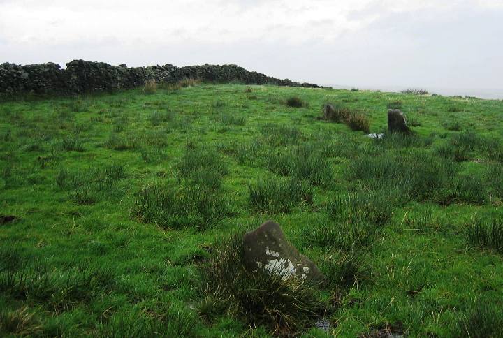
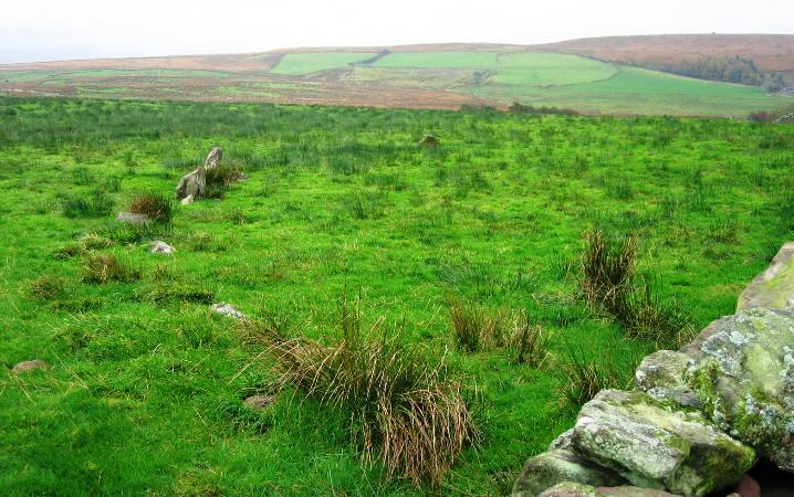
I parked the car in a small carpark a few yards west of the house marked 'Studfold' on the OS map. The circle is situated just below the brow of a small hill and the low stones of the circle are not visible from the road. Visiblity was poor when I visited but I was still able to see across the northern plain towards Cockermouth.
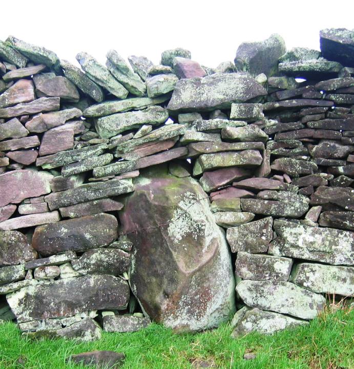
The circle is bisected by a stone wall, the eastern half is in a boggy pasture, the western in an even boggier field of sedges and boggy stuff. Apparently this side was once a plantation.
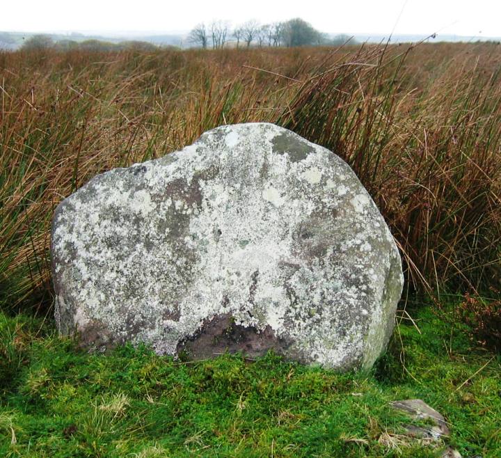
The stones are small and many are missing with only five visible on the eastern side, one visible in the dry stone wall and one visible in the western field. This said, there is still enough there to visualise the circle.
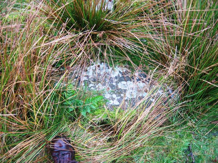
There is also a ruined cairn within the circle. The cairn is on the western side and initially appears to be pretty formless. On further examination you can see the stones of the cairn poking through the sedge with one large slab capping the cairn. Poking around the margins of the cairn reveals what could be a fairly narrow kerb.
All in all Studfold is definitely not a showcase circle, Burl classifies it as "Ruined but recognisable" I can't argue with that.


 Posted by fitzcoraldo