The Modern Antiquarian
Log in
|
Register
Home
Latest Posts
Forums
Maps
Help
Browse Sites
News
Blog
Contributors
The Books
Select
-
Belgium
Denmark
Eire
France
Germany
Greece
Italy
The Netherlands
Norway
Portugal
Republic of Malta
Spain
Sweden
Switzerland
United Kingdom
England
Northern England
Cumbria
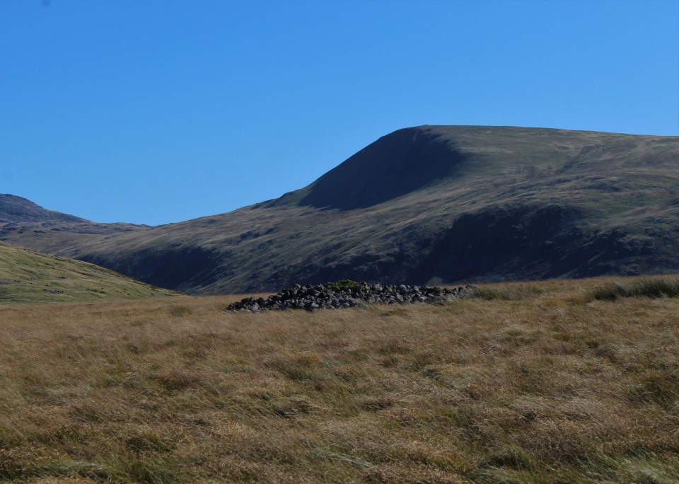
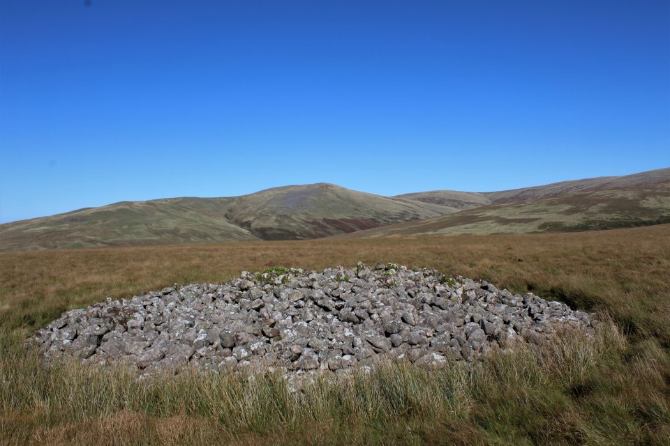
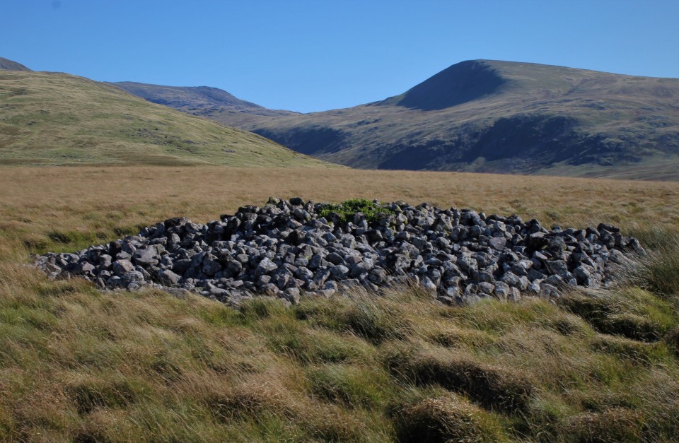
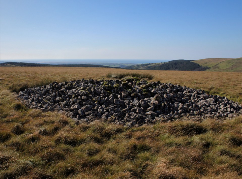
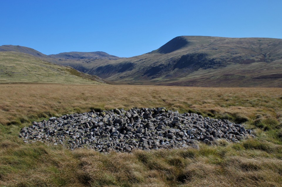
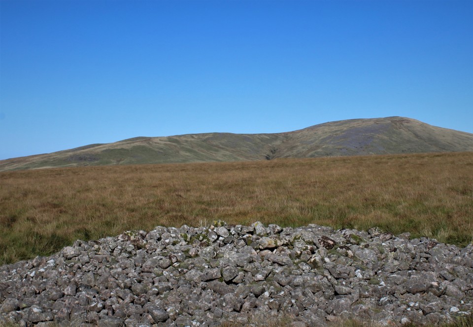
Stockdale Moor
Cairn(s)
Stockdale Moor (Cairn(s)) on The Modern Antiquarian, the UK & Ireland's most popular megalithic community website. 17 images, plus information on many more ancient sites nearby and across the UK & Ireland.
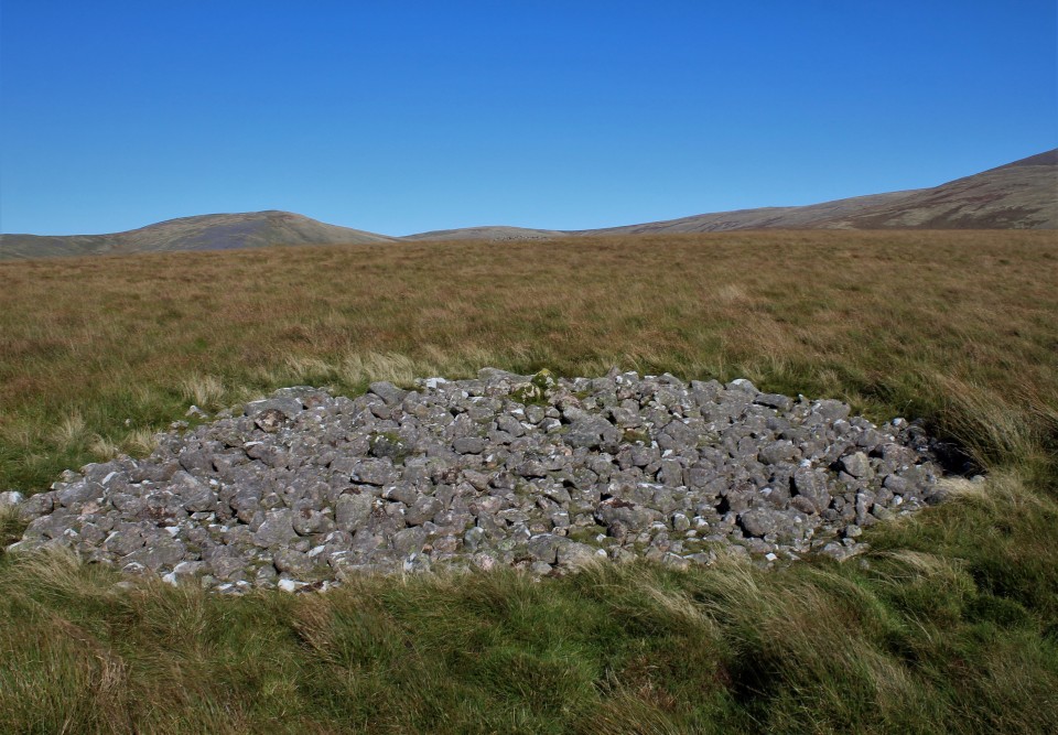
Image © Chris Bickerton
Nearest Town:
Whitehaven (17km WNW)
OS Ref (GB):
NY100083 /
Sheet: 89
Latitude:
54° 27' 42.85" N
Longitude:
3° 23' 18.96" W
Added by
treehugger-uk
Images (17)
0 discussions
Start a topic
Show |
Hide
Web searches for Stockdale Moor
Flickr
Google
Google Images
MAGIC
The Megalithic Portal
Bing
Stone Pages
Streetmap.co.uk
Wikipedia
Show map
(inline Google Map)
- Sites within 20 km -
-
Sampson's Bratfull (0.36km SW) (15 posts)
Monks Graves (1.33km NW) (0 posts)
Town Bank (1.69km WNW) (0 posts)
Tongue How (3.17km W) (12 posts)
Tongue How (3.3km W) (0 posts)
Seatallan (3.89km ENE) (5 posts)
Tongue How (3.9km WSW) (2 posts)
Friar's Well (4.55km W) (0 posts)
Friar Gill Tumulus (4.61km W) (4 posts)
Druids Temple, Yewcroft (6.13km W) (11 posts)
Gretigate (6.29km SW) (5 posts)
Blakeley Raise (6.89km WNW) (72 posts)
Maiden Castle (Wastwater) (8.86km E) (5 posts)
Greycroft Stone Circle (8.9km SW) (63 posts)
Low Longrigg (9.04km ESE) (20 posts)
Boat Howe (9.19km E) (14 posts)
White Moss (9.29km ESE) (55 posts)
Brat's Hill (9.43km ESE) (32 posts)
Ehenside Tarn (9.5km WSW) (3 posts)
Floutern Cop (9.57km NNE) (16 posts)
Lamplugh (10.01km NW) (0 posts)
Ringlen Stones (destroyed?) (10.73km W) (0 posts)
Buttermere (11.25km NE) (5 posts)
Barnscar (12.89km SE) (19 posts)
Crummock (13.01km NNE) (27 posts)
Cairn to SW of Hardknott Castle (13.6km E) (2 posts)
Grasmoor (14.15km NE) (4 posts)
Le Wheles (destroyed?) (14.7km WNW) (0 posts)
Whitrow Beck (14.78km SE) (6 posts)
Glaramara Stone Axe Factories (14.81km ENE) (1 post)
Glaramara (Northern) Stone Axe Factory (14.83km ENE) (4 posts)
Studfold Gate (15.2km NW) (7 posts)
Mickleden Beck (16.3km E) (9 posts)
Castle Crag, Borrowdale (16.67km ENE) (26 posts)
Dean (16.89km NNW) (3 posts)
Langdale Axe Factory (17.37km E) (54 posts)
Lead Pike (17.7km E) (3 posts)
Loft Crag (17.78km E) (5 posts)
Thorn Crag (17.87km E) (3 posts)
Harrison Stickle (18.17km E) (4 posts)
Great Langdale (18.73km E) (20 posts)
Wrynose Pass Stone (18.91km E) (5 posts)
- Facilities within 20 km -
-
Wasdale Head National ... (Camping Site: 8.3 km E)
Wasdale Head Inn (Hotel: 8.6 km ENE)
Hollins Farm Campsite (Camping Site: 10.7 km SE)
Syke Farm (Camping Site: 11.5 km NNE)
Kirkstile Inn (Pub: 13.3 km N)
Scafell Hotel (Hotel: 17.1 km ENE)
The Old Dungeon Ghyll ... (Hotel: 18.6 km E)
Great Langdale Campsit... (Camping Site: 18.9 km E)
Coledale Inn (Hotel: 20 km NNE)
- Add -
-
Add news
Add an image
Add fieldnotes
Add folklore
Add miscellaneous
Add a link
Add a nearby facility
Add an alternative name/spelling
Images
(click to view fullsize)
Add an image
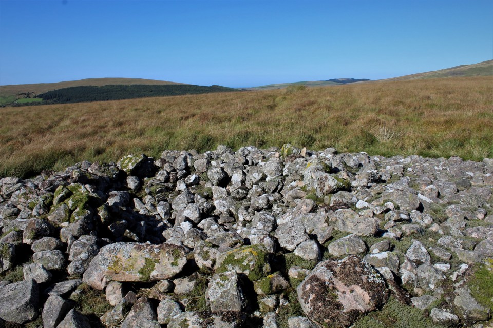
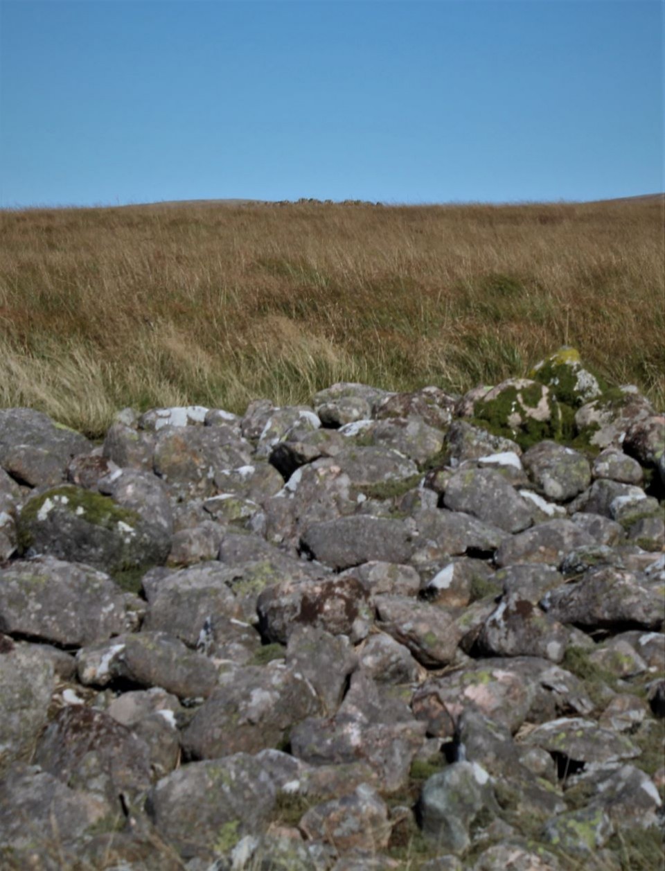
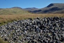 Image © Chris Bickerton
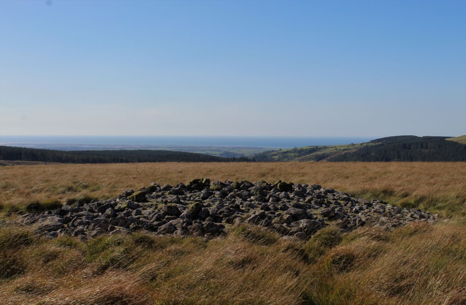
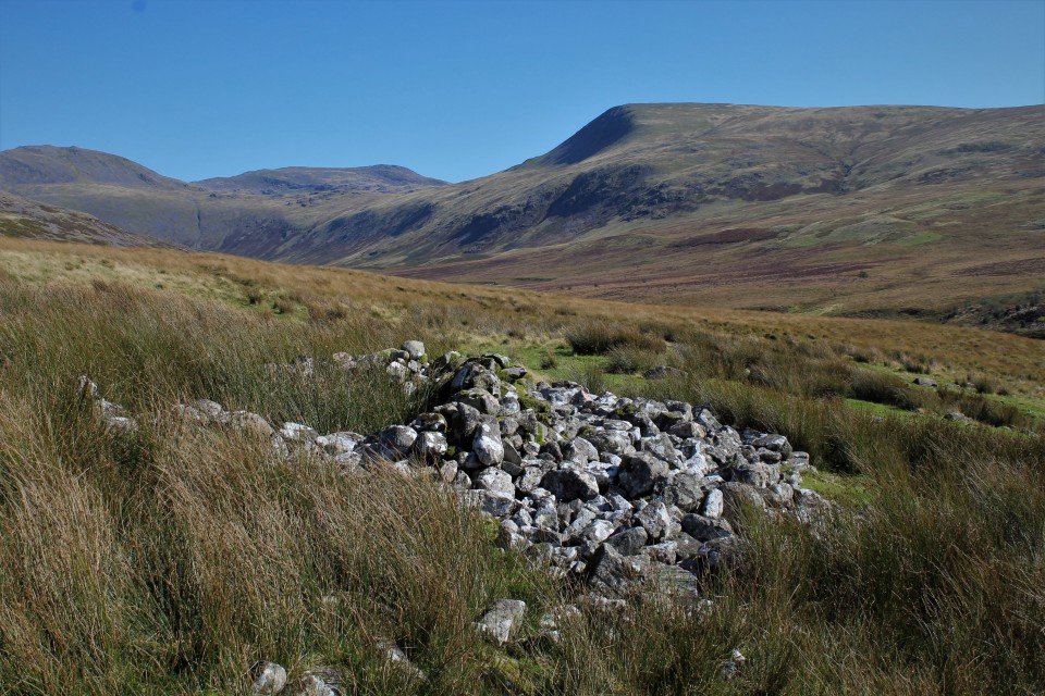
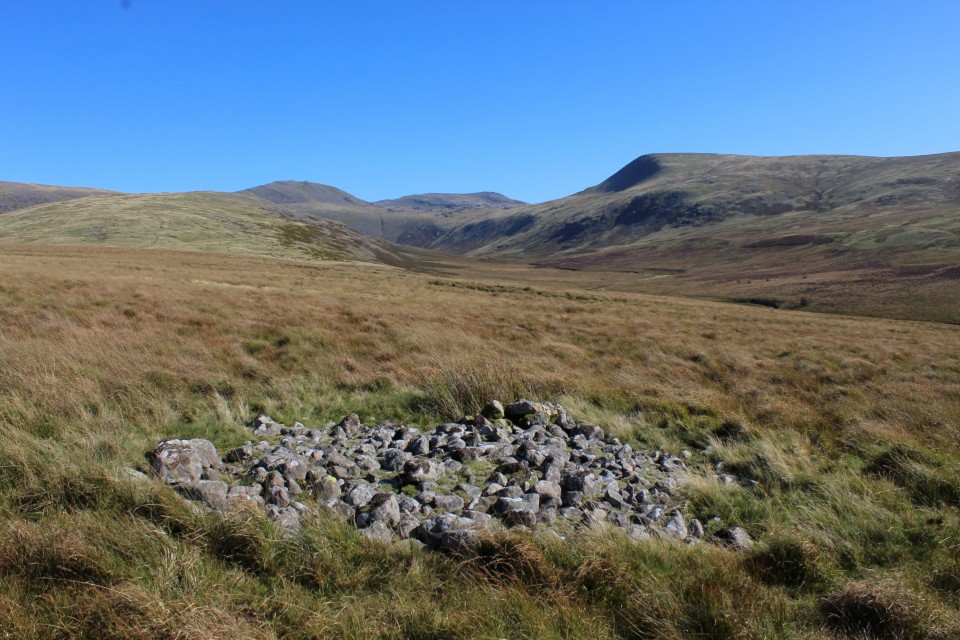