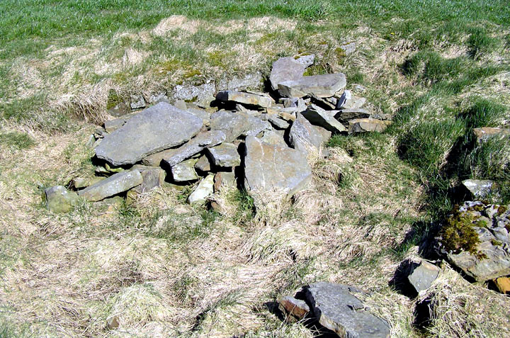
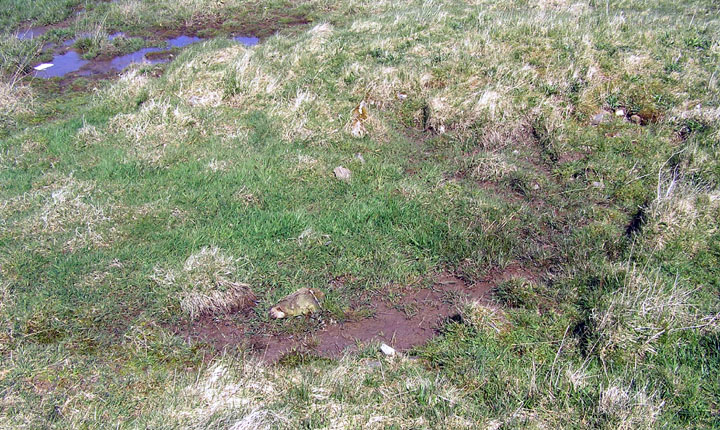
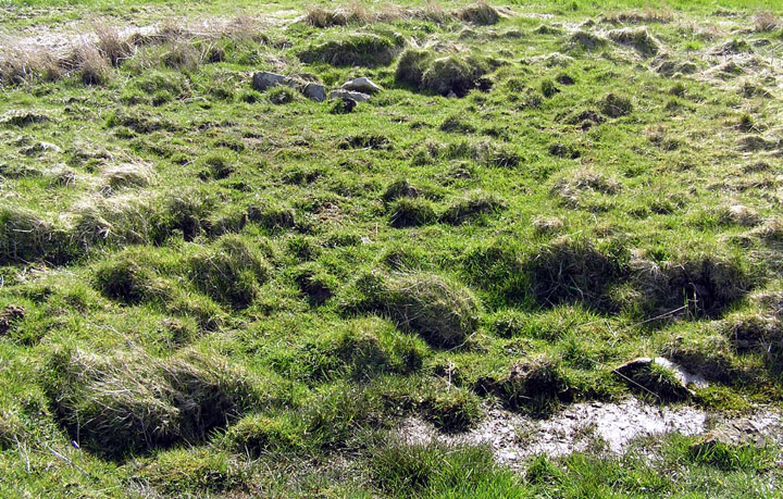
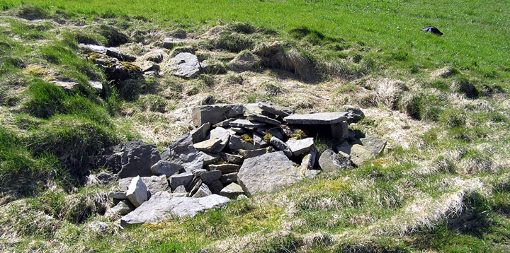
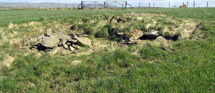
In 2004 I found what appeared, on reviewing the photos later, to be a cist to the left of the Stones of Via and a little further uphill (as seen from the road), lying in boggy ground at the edge of a small and very shallow pool. From triangulation it has the same 8-figure NGR as the Via Mound. Indeed upon consideration of surrounding features it is evident that this occupies the upper right of that site's scant remains. The only other structure in the field, a well at HY26051599 shown on the 1882 O.S. map, has been blocked up with stones that might have been from said "parcel of large stones", and I surmise this could have then resulted in the issuing of water lower down the hill to form the pool.
RCAHMS NMRS record no. HY21NE 4 at HY26011598 on excavation sometime before 1839~41 uncovered "nothing found in it but a parcel of large stones". Though what appeared to be these remains was seen at the south edge of a pool of water in 1880 said mound was no longer present in 1928.