The Modern Antiquarian
Log in
|
Register
Home
Latest Posts
Forums
Maps
Help
Browse Sites
News
Blog
Contributors
The Books
Select
-
Belgium
Denmark
Eire
France
Germany
Greece
Italy
The Netherlands
Norway
Portugal
Republic of Malta
Spain
Sweden
Switzerland
United Kingdom
County Donegal
Barnes Lower
Stone Row / Alignment
Barnes Lower (Stone Row / Alignment) on The Modern Antiquarian, the UK & Ireland's most popular megalithic community website. 8 images, plus information on many more ancient sites nearby and across the UK & Ireland.
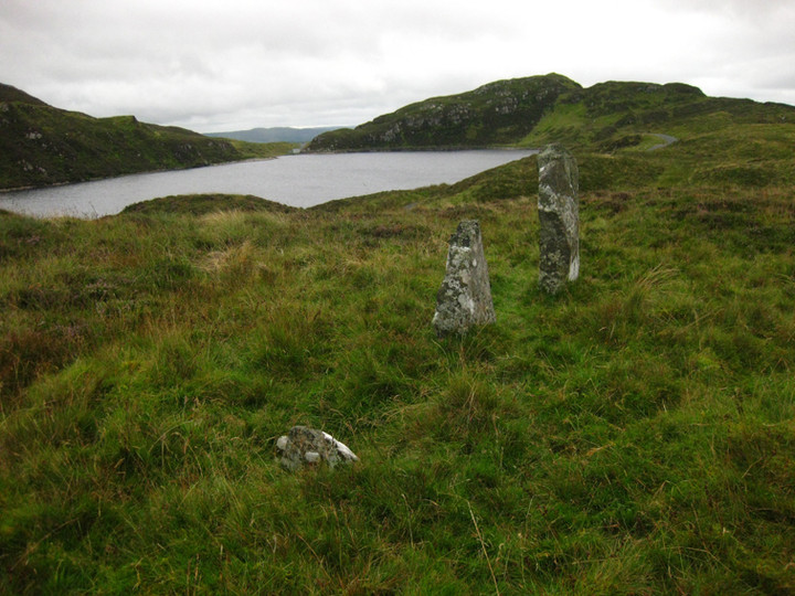
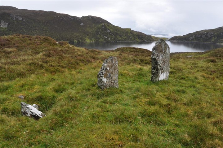
Image © ryaner
Nearest Town:
Millford (7km ENE)
OS Ref (IE):
C123264 /
Sheet: 2
Latitude:
55° 5' 4.98" N
Longitude:
7° 48' 26.53" W
Added by
FourWinds
Images (8)
0 discussions
Start a topic
Show |
Hide
Web searches for Barnes Lower
Flickr
Google
Google Images
The Megalithic Portal
Bing
Stone Pages
Wikipedia
Show map
(inline Google Map)
- Sites within 20 km -
-
Barnes Lower (2.48km SW) (7 posts)
Carrownaganonagh (3.67km E) (5 posts)
Portleen (5.86km E) (5 posts)
Letter (7.89km ESE) (14 posts)
Clonbeg Glebe (8.97km WNW) (2 posts)
Gortnavern (10.27km ENE) (15 posts)
Rathdonnell (10.5km S) (1 post)
Ballymore Upper (11.09km WNW) (3 posts)
St Columkille's Stones (11.71km SW) (4 posts)
Na Dúnaibh (12.43km NNW) (1 post)
Mevagh (13.18km NNW) (6 posts)
Cluain tSalach (13.98km NNW) (3 posts)
Cluain tSalach (13.98km NNW) (4 posts)
Creevery Upper (15.42km ENE) (4 posts)
Drumhallagh Upper (16.07km ENE) (5 posts)
Muntermellan (16.2km WNW) (12 posts)
Marfagh (17.69km WNW) (7 posts)
Errarooey Beg (17.74km W) (8 posts)
Claggan (18.14km WNW) (8 posts)
Binn (18.21km ENE) (8 posts)
Claggan (18.99km WNW) (13 posts)
Pluck (19.46km ESE) (1 post)
Carnaghan (19.81km E) (12 posts)
- Add -
-
Add news
Add an image
Add fieldnotes
Add folklore
Add miscellaneous
Add a link
-
Add a site
Add a nearby facility
Add an alternative name/spelling
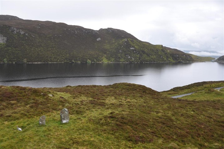
Images
(click to view fullsize)
Add an image
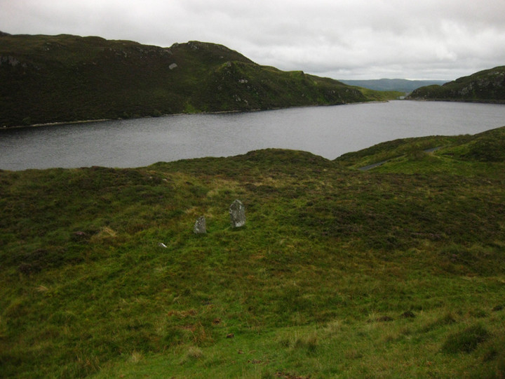
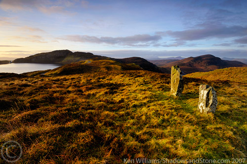
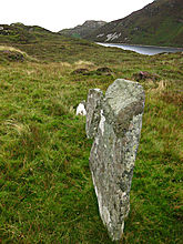 Image © ryaner
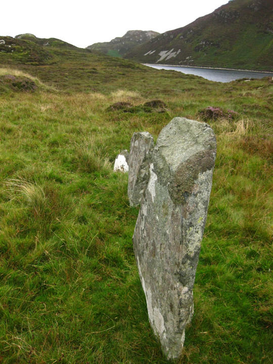
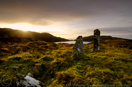