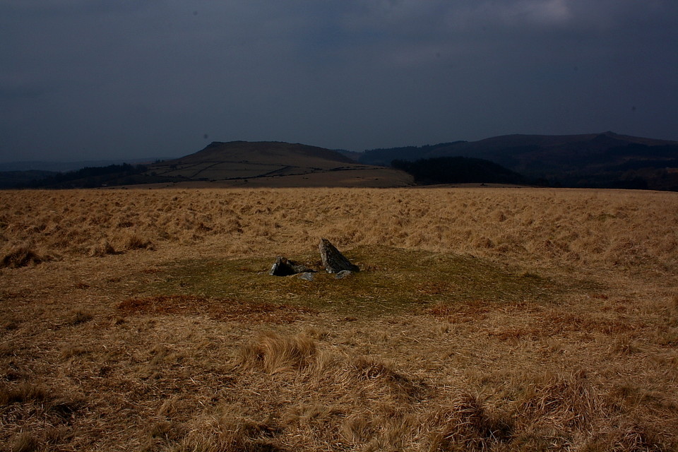
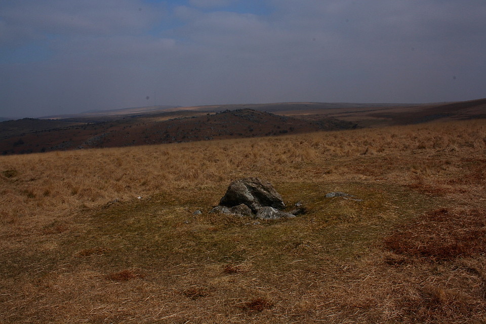
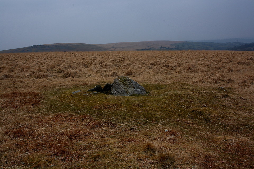
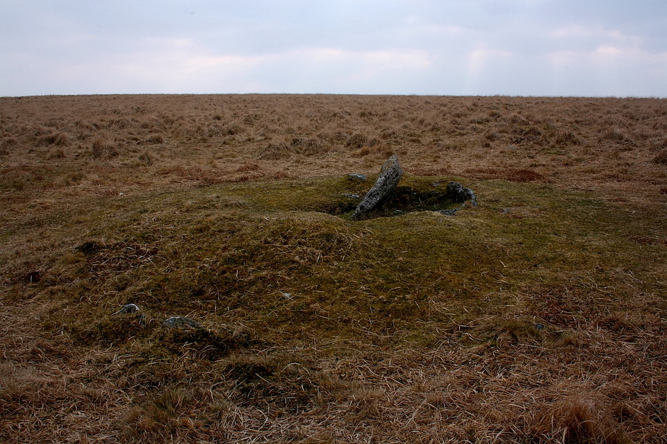
The Eylesbarrow cairn and kist lies on open moor between the track from the scout hut to Eylesbarrow and the Eylesbarrow Reave.Around 800 metres up the path from the scout hut you turn left [north] and the kist is around 200 metres into the moor.
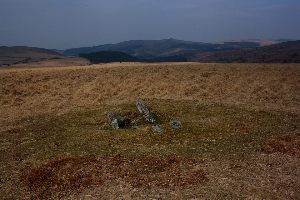
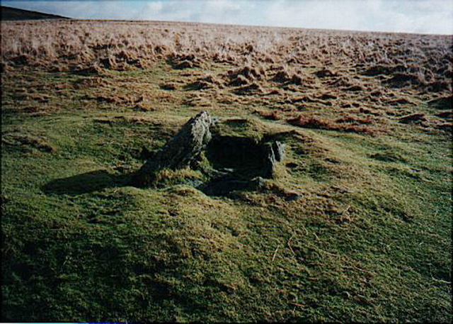
Hey, I liked it here.... a nice, if somewhat dishevelled monument located some way off the main track for a little privacy to chill out... and with expansive, sweeping views toward Yellowmead and north to Down Tor. According to Pastscape:
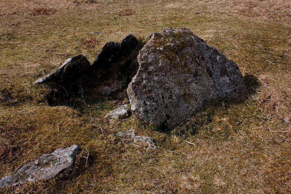
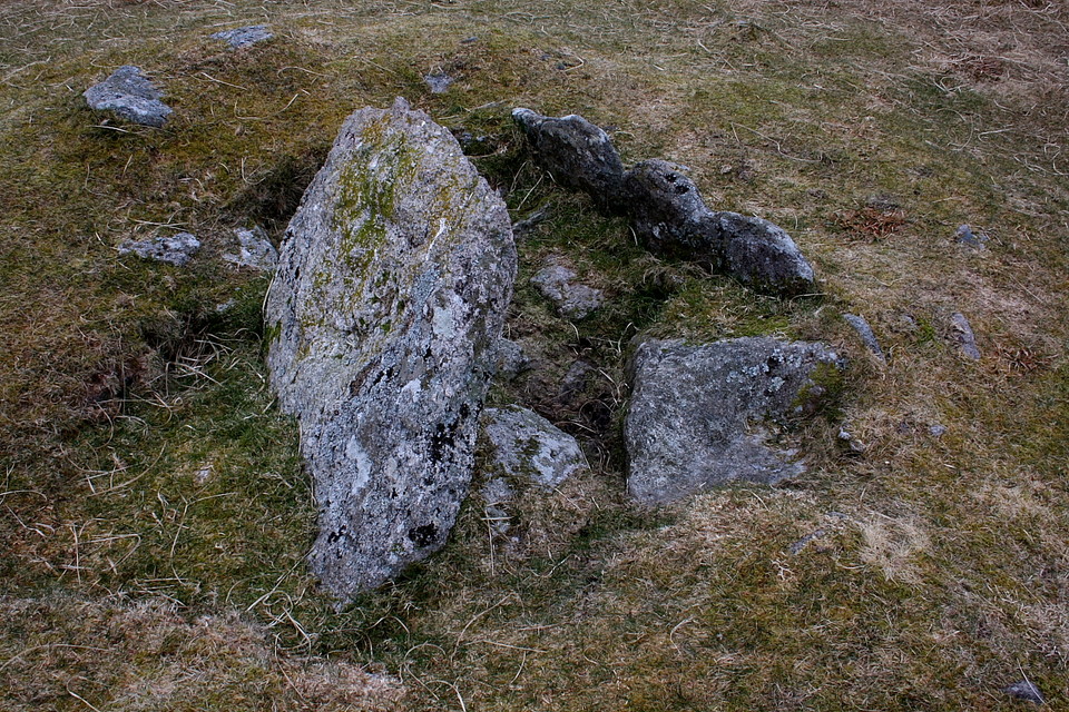
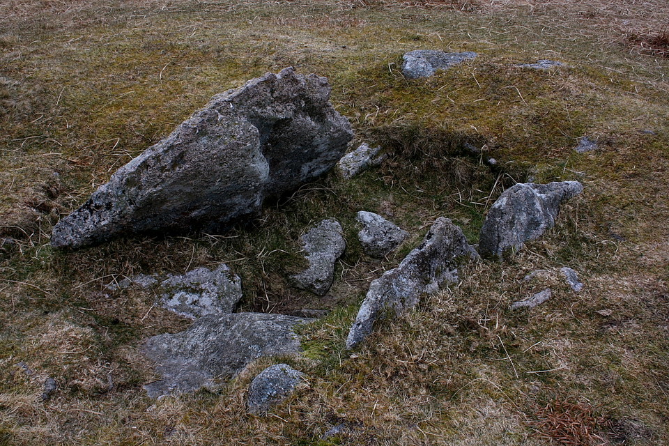
"...the stony mound is 5.9m in diameter and about 0.4m high with some kerb slabs and boulders in situ. The apparently off-centre cist measures 1.8m by 0.9m internally and 0.4m deep; one large, leaning slab, probably the displaced coverstone measures 1.1m by 0.8m." [Fletcher M 03-JUL-1999 English Heritage Field Investigation]
And apparently:
"An attempt was made to restore the cist shortly before 1929 ... Stone cutters were responsible (sic) for at least part of the damage as one of the loose slabs bears the marks of the masons' tools.... The structure may be one of those rare burial cairns covering two cists. Around the base of the mound a few stones remain of an outer ring." [Butler, J. 1994. Dartmoor Atlas of Antiquities: Vol. 3, p. 70 3 Page(s)70]

 Posted by GLADMAN