The Modern Antiquarian
Log in
|
Register
Home
Latest Posts
Forums
Maps
Help
Browse Sites
News
Blog
Contributors
The Books
Select
-
Belgium
Denmark
Eire
France
Germany
Greece
Italy
The Netherlands
Norway
Portugal
Republic of Malta
Spain
Sweden
Switzerland
United Kingdom
England
Southern England
Devon
Dartmoor
Raddick Hill
Cairn(s)
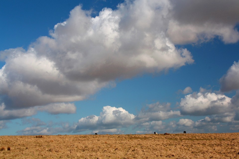
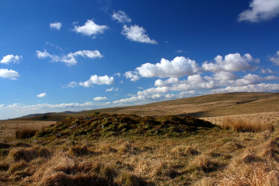
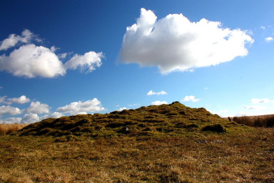
Raddick Hill (Cairn(s)) on The Modern Antiquarian, the UK & Ireland's most popular megalithic community website. 17 images, plus information on many more ancient sites nearby and across the UK & Ireland.
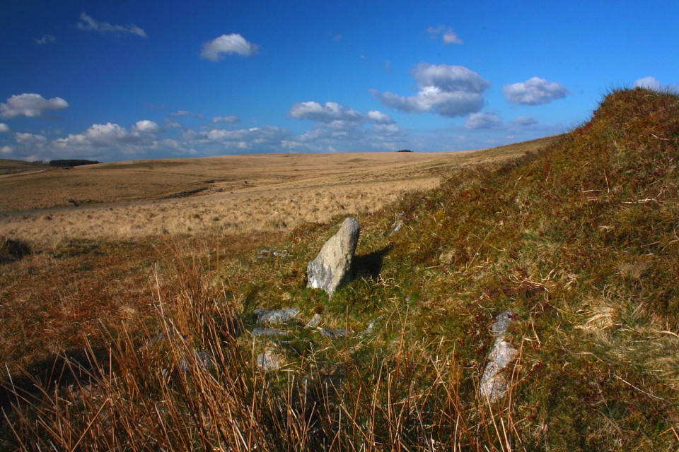
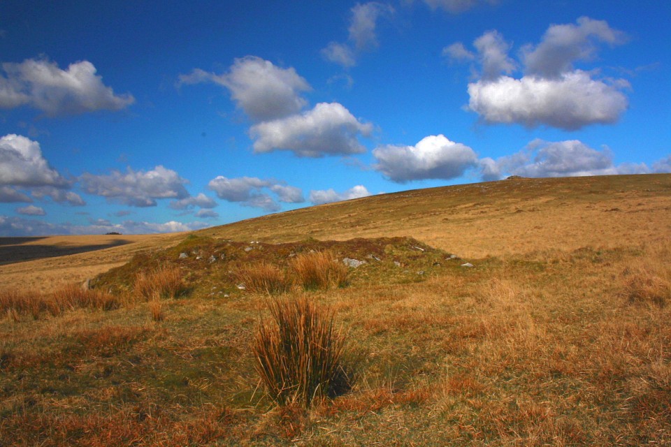
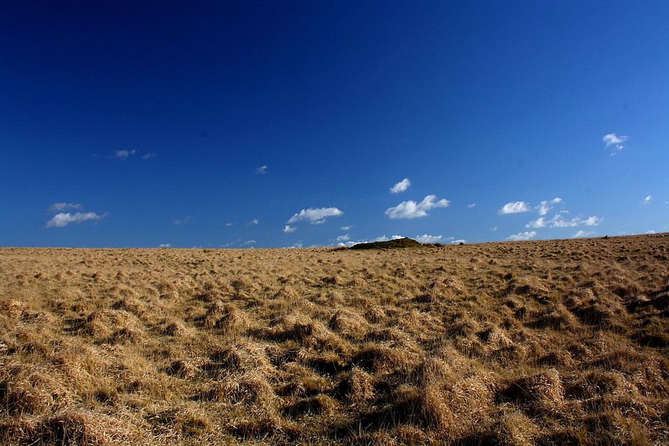
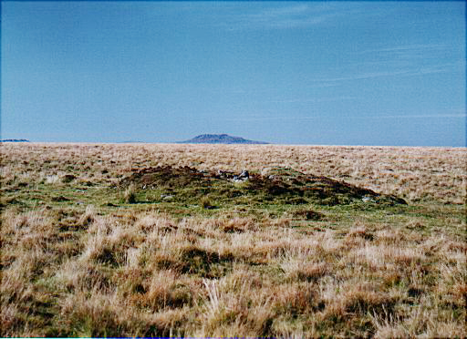
Image © Robert Gladstone
Nearest Town:
Tavistock (11km WNW)
OS Ref (GB):
SX578709 /
Sheet: 202
Latitude:
50° 31' 11.86" N
Longitude:
4° 0' 22.19" W
Added by
Lubin
Images (17)
0 discussions
Start a topic
Show |
Hide
Web searches for Raddick Hill
Flickr
Google
Google Images
MAGIC
The Megalithic Portal
Bing
Stone Pages
Streetmap.co.uk
Wikipedia
Show map
(inline Google Map)
- Sites within 20 km -
-
Hart Tor (0.81km NNW) (48 posts)
Black Tor (0.93km W) (17 posts)
Black Tor (0.98km NW) (9 posts)
Leeden Tor South (1.4km WSW) (2 posts)
Hingston Hill North (1.48km SE) (3 posts)
Down Tor South (1.71km SSE) (3 posts)
Devil's Gully Settlement (1.72km NNE) (8 posts)
Down Tor NW (1.79km SE) (1 post)
Down Tor (1.85km SE) (81 posts)
Narrator Brook Head enclosure (1.94km ESE) (11 posts)
Sharpitor Cist (1.96km WSW) (5 posts)
Sharpitor cairns (2km WSW) (18 posts)
Narrator Brook Head cairn (2.01km ESE) (11 posts)
Leather Tor South (2.05km SW) (2 posts)
Sharpitor (2.11km WSW) (15 posts)
Yes Tor Bottom (2.19km NW) (2 posts)
Ingra Tor (2.28km W) (2 posts)
Cuckoo Rock (2.31km SE) (3 posts)
Peek Hill (2.41km WSW) (2 posts)
Outcombe (2.7km SSE) (2 posts)
Horseyeatt (2.8km WSW) (5 posts)
Fox Tor Mire (2.93km E) (2 posts)
Eylesbarrow (3.11km ESE) (18 posts)
Yellowmead Multiple Stone Circle (3.11km S) (67 posts)
Yellowmead SE cairn (3.15km SSE) (5 posts)
Eylesbarrow South West (3.2km SE) (11 posts)
St Leonard's Well (3.71km SSW) (4 posts)
Ditsworthy Warren (3.71km SE) (8 posts)
Yellowmeade (3.8km NW) (3 posts)
Gutter Tor cairns (3.83km S) (6 posts)
Whittenknowles Rocks Settlement (3.86km SSE) (9 posts)
Goldsmith's Cross/Fox Tor Mire (3.95km E) (5 posts)
Gutter Tor (4km SSE) (2 posts)
Drizzlecombe Megalithic Complex (4.04km SE) (131 posts)
Higher Hartor Tor (4.05km SE) (4 posts)
The Crock of Gold Cist (4.09km NE) (7 posts)
Gutter Tor Cist (4.1km S) (13 posts)
Royal Hill (4.11km ENE) (0 posts)
Broken Barrow (4.13km ENE) (11 posts)
Gutter Tor settlement (4.2km SSE) (3 posts)
Hucken Tor (4.21km WNW) (2 posts)
Plym Steps Round Cairn (4.3km ESE) (5 posts)
Plym Steps (4.31km ESE) (10 posts)
Royal Hill Cist (4.35km ENE) (24 posts)
Merrivale Stone Circle (4.46km WNW) (55 posts)
Blakey Tor (4.46km NE) (6 posts)
Calveslake Tor (4.52km ESE) (3 posts)
The Plague Market At Merrivale (4.55km WNW) (125 posts)
Childe's Tomb (4.62km E) (7 posts)
Ringmoor Down cairns (4.75km S) (3 posts)
Round Hill (4.8km NE) (8 posts)
Great Gnat's Head (4.83km ESE) (4 posts)
Merrivale Bridge Settlement (4.93km WNW) (11 posts)
Vixen Tor (4.94km WNW) (25 posts)
Ter Hill (4.99km ENE) (3 posts)
Langcombe Brook / Deadman's Bottom (5.01km ESE) (36 posts)
Willings Wall Warren (5.1km SSE) (3 posts)
Ringmoor Kerbed Cairn (5.18km SSW) (6 posts)
Ringmoor Cairn Circle and Stone Row (5.21km SSW) (64 posts)
Ditsworthy Cairn Circle (5.22km SSE) (2 posts)
Ringmoor Down Cist (5.35km S) (4 posts)
Pecked Circle (5.38km ENE) (1 post)
Hen Tor North / Shavercombe Brook (5.38km SE) (8 posts)
Legis Tor Cist (5.41km S) (6 posts)
Joan Ford's Newtake (5.42km ENE) (4 posts)
Brisworthy Stone Circle (5.55km S) (73 posts)
Grim's Grave (5.63km ESE) (14 posts)
Willings Walls Warren cist (5.71km SSE) (2 posts)
Long Plantation (5.74km N) (3 posts)
Barn Hill / Whitchurch Down (5.75km WNW) (3 posts)
Little Mis Tor (5.79km NW) (8 posts)
Swincombe Ford Newtake (5.83km ENE) (2 posts)
Ringmoor Down Reave (5.86km SSW) (1 post)
Trowlesworthy Warren (6.23km S) (2 posts)
Trowlesworthy (6.4km SSE) (0 posts)
Little Trowlesworthy Tor (6.4km SSE) (2 posts)
Sherberton Stone Circle (6.5km ENE) (33 posts)
Willings Walls Reave (6.51km SSE) (2 posts)
Spanish Lake (6.53km SSE) (1 post)
Stall Moor Stone Row (6.56km E) (14 posts)
Great Western Reave (6.59km WNW) (2 posts)
Wigford Down (6.7km SSW) (12 posts)
Wigford Down (6.73km SSW) (2 posts)
Trowlesworthy Warren (6.89km SSE) (32 posts)
Trowlesworthy Stone Row West (6.9km S) (27 posts)
Trowlesworthy Stone Row East (7km S) (23 posts)
Wistman's Wood (7.01km NNE) (4 posts)
Cox Tor (7.06km WNW) (3 posts)
Skir Hill (7.28km E) (1 post)
Shell Top (7.34km SE) (3 posts)
Roos Tor Northeast (7.36km NW) (1 post)
Tory Brookhead (7.44km SSE) (0 posts)
Langstone Moor (7.45km NW) (3 posts)
Langstone Moor (7.5km NW) (5 posts)
Littaford Tor (7.55km NNE) (1 post)
Langstone Moor Stone Circle (7.59km NW) (29 posts)
Tory Brookhead (7.63km SSE) (7 posts)
Dunnabridge Pound (7.72km ENE) (6 posts)
Emmets Post (7.76km S) (2 posts)
Down Ridge (7.77km ENE) (15 posts)
Dewerstone Settlement (7.83km SSW) (8 posts)
Black Newtake (7.84km NE) (10 posts)
Erme Pound (7.85km ESE) (5 posts)
Shaugh Moor (7.87km SSW) (1 post)
West Saddlesborough Hut Circles (7.87km SSW) (11 posts)
West Saddlesborough Stone Row & Cairn Circle (7.87km SSW) (21 posts)
Saddlesborough summit cairns (7.87km S) (4 posts)
Saddlesborough settlement (7.88km S) (10 posts)
West Saddlesborough Cairn (7.9km SSW) (7 posts)
Saddlesborough (7.95km S) (0 posts)
Ryder's Hill (8.13km E) (3 posts)
Crow Tor (8.15km NNE) (3 posts)
Conies Down (8.23km N) (1 post)
Stall Moor Cairn (8.26km ESE) (7 posts)
Penn Beacon (8.26km SE) (2 posts)
Erme Plains (8.33km ESE) (1 post)
White Tor East (8.33km NW) (7 posts)
Stennen Hill (8.34km NE) (10 posts)
Langstone Moor Stone Row (8.37km NW) (13 posts)
Bellever Tor West (8.39km NE) (9 posts)
Ranny Brook (8.41km SE) (4 posts)
Shell Top South West (8.44km SSW) (9 posts)
White Tor Stone Row (8.45km NNE) (10 posts)
Hook Lake (8.47km ESE) (5 posts)
Hook Lake (8.47km ESE) (4 posts)
White Tor Settlement (8.49km NW) (17 posts)
Cholwich Town (destroyed) (8.62km SSE) (2 posts)
Stall Moor Stone Circle (8.63km ESE) (30 posts)
Penn Beacon South (8.65km SE) (3 posts)
Laughter Tor (8.69km NE) (11 posts)
Bellever (8.71km NE) (33 posts)
Arch Tor (South-West) (8.75km NE) (3 posts)
Holne Moor (8.77km ENE) (3 posts)
Beardown Man (8.88km N) (14 posts)
Dendles Waste (8.98km SE) (2 posts)
Blatchford Bottom settlements (9.06km ESE) (3 posts)
Collard Tor (9.08km S) (12 posts)
Rowtor Bog Cairns (9.11km NNE) (17 posts)
Heap of Sinners (9.28km E) (14 posts)
Western White Barrow (9.28km ESE) (4 posts)
Buckland Ford Cairn Circle (9.28km E) (10 posts)
Lakehead Hill (9.46km NE) (55 posts)
Coombebrook North East (9.47km SE) (2 posts)
Huntingdon Warren Settlement (9.64km E) (2 posts)
Holne Moor Triple Row (9.67km ENE) (2 posts)
Kraps Ring (9.75km NE) (6 posts)
Harrowthorn Plantation North (9.83km SE) (2 posts)
Yar Tor Hut Circle (9.89km ENE) (6 posts)
Roborough Beacon (9.9km SW) (10 posts)
Archerton, Newtake (9.9km NE) (3 posts)
Stalldown Cairns (9.93km SE) (7 posts)
Stalldown Stone Row Cairn NW (9.98km ESE) (7 posts)
Riddon Ridge Field Systems (9.99km NE) (4 posts)
Aller Brook (9.99km ENE) (2 posts)
Biller's Pound (9.99km E) (3 posts)
Pupers Hill (10.03km E) (15 posts)
Stalldown Stone Row Cairn NE (10.05km ESE) (7 posts)
Stalldown cairn circle (10.05km ESE) (5 posts)
Snowdon (10.08km E) (7 posts)
Stalldown Stone Row (10.14km ESE) (49 posts)
Coffin Stone (10.15km ENE) (1 post)
Mardle Valley (10.2km E) (2 posts)
Chittaford Down (10.27km NE) (11 posts)
Riddon Ridge (10.33km ENE) (5 posts)
Chittaford Cairn and Cist (10.38km NE) (10 posts)
Eastern White Barrow (10.43km E) (1 post)
Hillson's House (10.47km ESE) (8 posts)
Yar Tor summit cairn (10.47km ENE) (10 posts)
Stalldown Stone Row Cairn S (10.52km SE) (6 posts)
Maristow Camp (10.58km SW) (0 posts)
Broad Down Cairn (10.66km NNE) (3 posts)
Roundy Park (10.69km NE) (18 posts)
Roundy Park (10.69km NE) (3 posts)
Yar Tor (10.69km ENE) (22 posts)
Brockhill Enclosed Settlements (11.22km E) (1 post)
Three Barrows (11.24km ESE) (10 posts)
Corndon Tor (11.24km ENE) (34 posts)
Brockhill Ford West (11.28km E) (2 posts)
Brockhill Foot West (11.29km E) (10 posts)
Stalldown South-East (11.33km ESE) (10 posts)
Corndon Tor (11.41km ENE) (1 post)
Dean Moor (11.55km E) (9 posts)
Sharp Tor (11.58km ESE) (6 posts)
Boringdon Camp (11.79km SSW) (12 posts)
Cator Common North Cairn (11.92km NE) (4 posts)
Rider's Rings (11.95km E) (0 posts)
Cut Hill (11.97km N) (15 posts)
Gripper's Hill (12.04km E) (15 posts)
Piles Hill stone row (12.14km ESE) (3 posts)
Burford Down cairn and cist (12.28km SE) (9 posts)
Burford Down (12.29km SE) (23 posts)
Soussons Common Cairn Circle (12.36km NE) (37 posts)
Piles Hill cairns (12.48km ESE) (10 posts)
Harford Moor (12.6km ESE) (17 posts)
Stannon Newtake (12.62km NE) (2 posts)
Piles Hill longstone (12.7km ESE) (14 posts)
Harbourne Head cairns (12.75km E) (3 posts)
Corringdon Ball Stone Row (12.93km ESE) (16 posts)
Sittaford (12.97km NNE) (16 posts)
Glasscombe Corner (13.05km ESE) (13 posts)
Sittaford Tor hut circles (13.09km NNE) (3 posts)
Glasscombe Ball North (13.09km ESE) (1 post)
Glasscombe Ball (13.12km ESE) (5 posts)
Corringdon Ball Long Barrow (13.13km ESE) (16 posts)
Soussons Down (13.15km NE) (2 posts)
Harbourne Head (13.15km E) (6 posts)
Butterdon stone row (13.32km ESE) (19 posts)
Glaze Meet (13.47km ESE) (4 posts)
Butter Brook Ford (13.5km SE) (6 posts)
The Greywethers (13.62km NNE) (88 posts)
Spurrell's Cross Stone Row (13.66km ESE) (8 posts)
Water Hill (13.85km NE) (2 posts)
Butterdon Hill (north) cairn (13.9km ESE) (4 posts)
Weatherdon Hill (13.94km ESE) (3 posts)
Water Hill (13.99km NE) (1 post)
Doe Tor (14.32km NW) (6 posts)
Assycombe Hill (14.32km NE) (36 posts)
Brent Tor (14.34km WNW) (29 posts)
Heathfield Beacons (14.34km WNW) (2 posts)
Butterdon Hill cairn circle (14.38km ESE) (6 posts)
Aish Ridge (14.39km ESE) (4 posts)
Butterdon Hill cairns (14.4km ESE) (23 posts)
Addicombe (14.44km SE) (0 posts)
The Dun Stone (14.6km ENE) (2 posts)
Butterdon Hill Chambered Tomb (14.84km ESE) (7 posts)
Hurston Ridge (14.89km NE) (20 posts)
Challacombe (14.91km NE) (20 posts)
Hembury Castle (14.94km E) (26 posts)
Hurston Ridge (14.97km NE) (3 posts)
Whitehorse Hill (15.07km N) (7 posts)
Cuckoo Ball (15.12km ESE) (12 posts)
Birch Tor (15.17km NE) (13 posts)
Fernworthy Round House (15.18km NE) (20 posts)
West Vitifer (15.25km NE) (2 posts)
Fernworthy SE (15.25km NNE) (4 posts)
Fernworthy Stone Row (South) (15.26km NNE) (9 posts)
Fernworthy (15.27km NNE) (70 posts)
Fernworthy Cairn and Cairn Circle (Eastern) (15.31km NNE) (6 posts)
Western Beacon (15.34km SE) (22 posts)
Fernworthy stone row (North) (15.43km NNE) (19 posts)
East Lowton settlement (15.45km NE) (18 posts)
Brent Hill (15.56km ESE) (1 post)
Hamel Down (15.72km NE) (6 posts)
Gallows Hill (15.75km NW) (2 posts)
Great Links Tor (15.76km NNW) (12 posts)
Heath Stone (15.79km NE) (2 posts)
Grimspound & Hookney Tor (15.82km NE) (62 posts)
Metherall Settlement (15.87km NE) (14 posts)
Cantrell Stone Row (15.88km SE) (5 posts)
Thornworthy Down (16.06km NNE) (13 posts)
Wittaburrow (16.07km ENE) (11 posts)
Tunhill Rocks (16.09km ENE) (1 post)
Grims Lake Mire (16.17km NE) (11 posts)
Shapley Tor (16.18km NE) (6 posts)
Blackslade Down (16.21km ENE) (8 posts)
East Bovey Head (16.23km NE) (15 posts)
Chagford Common (16.39km NE) (3 posts)
Foale's Arrishes (16.66km ENE) (9 posts)
Top Tor (16.7km ENE) (7 posts)
King's Barrow (16.75km NE) (9 posts)
Shapley Common (16.77km NE) (12 posts)
Shovel Down & The Long Stone (16.99km NNE) (70 posts)
Great Nodden (17.04km NW) (4 posts)
Seven Lords' Lands (17.11km ENE) (11 posts)
Horridge Common (West) (17.14km ENE) (2 posts)
Shovel Down (17.16km NNE) (3 posts)
Rippon Tor (17.39km ENE) (23 posts)
Tolmen Stone (17.91km NNE) (4 posts)
Fordsland Ledge (17.97km NNW) (22 posts)
Hound Tor (18.03km ENE) (26 posts)
Horridge Common (18.09km ENE) (3 posts)
Kes Tor (18.1km NNE) (8 posts)
Scorhill (18.15km NNE) (82 posts)
Horridge Common (18.23km ENE) (8 posts)
Corn Ridge (18.37km NNW) (21 posts)
Burley Camp (18.44km NW) (2 posts)
High Willhays (18.53km NNW) (14 posts)
Hingston Down East (18.55km WSW) (1 post)
Haytor Rock (18.85km ENE) (2 posts)
Bowerman's Nose (18.9km ENE) (18 posts)
Sourton Tors Circle (18.94km NNW) (4 posts)
Buttern Hill Stone Circle (18.96km NNE) (32 posts)
Buttern Hill (18.98km NNE) (2 posts)
Throwleigh (b) circle (18.98km NNE) (1 post)
Buttern Hill Chambered Cairn. (19.23km NNE) (10 posts)
Hingston Down (19.24km WSW) (2 posts)
Yes Tor (19.27km NNW) (26 posts)
White Moor Stone Circle (19.5km NNE) (58 posts)
Longstone Hill (19.63km NNW) (6 posts)
Black Hill (19.83km ENE) (16 posts)
Puggie Stone (19.89km NNE) (1 post)
- Facilities within 20 km -
-
The Plume of Feathers Inn (Pub: 2.8 km NNE)
Warren House Inn (Pub: 14 km NNE)
- Add -
-
Add news
Add an image
Add fieldnotes
Add folklore
Add miscellaneous
Add a link
-
Add a site
Add a nearby facility
Add an alternative name/spelling
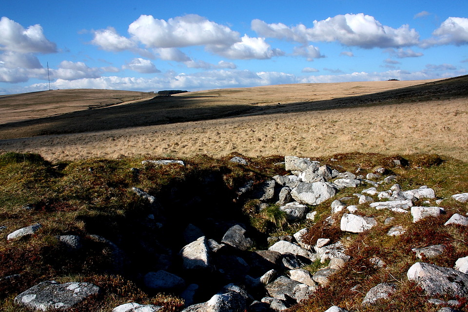
Images
(click to view fullsize)
Add an image
Photographs:
Artistic / Interpretive:
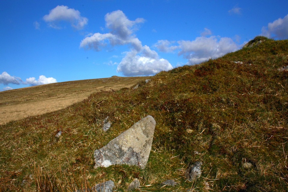
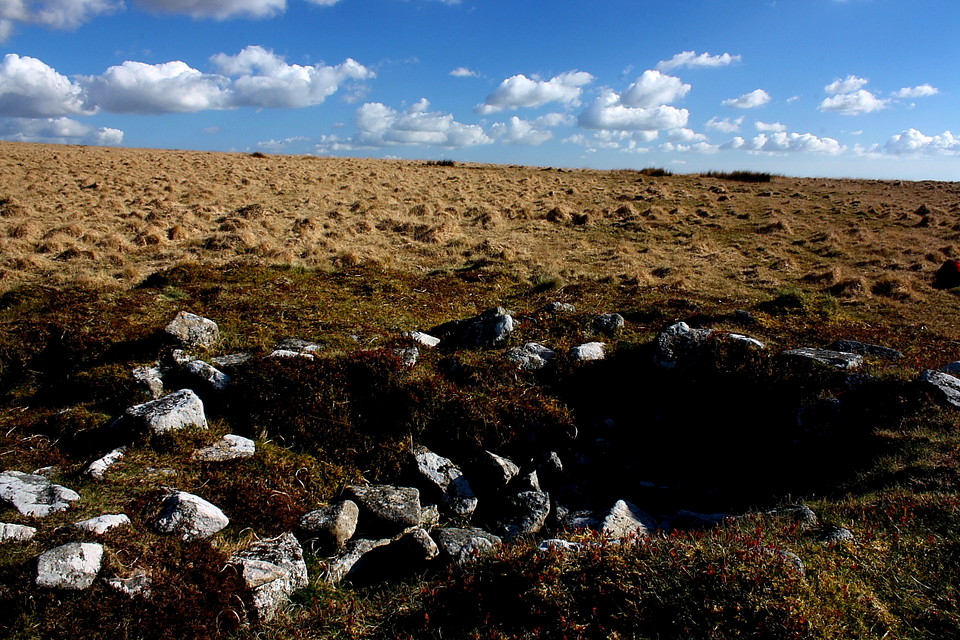
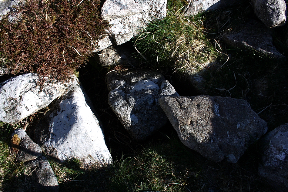
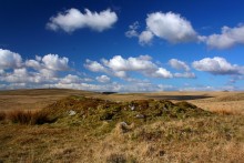 Image © Robert Gladstone
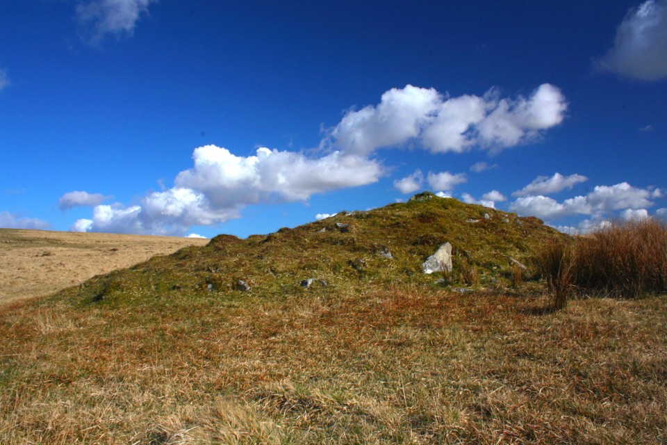
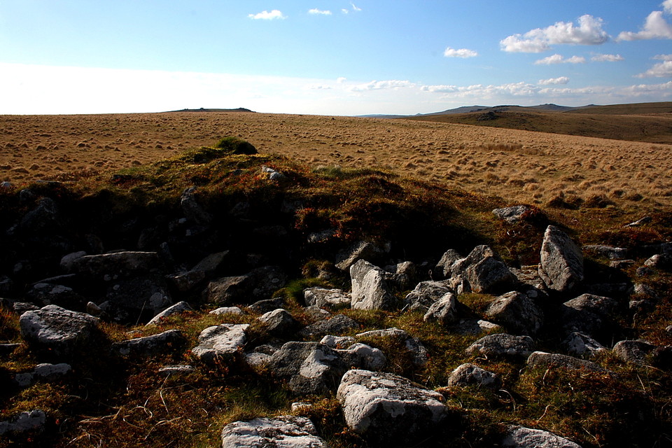
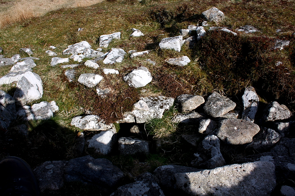


 Artistic / Interpretive: