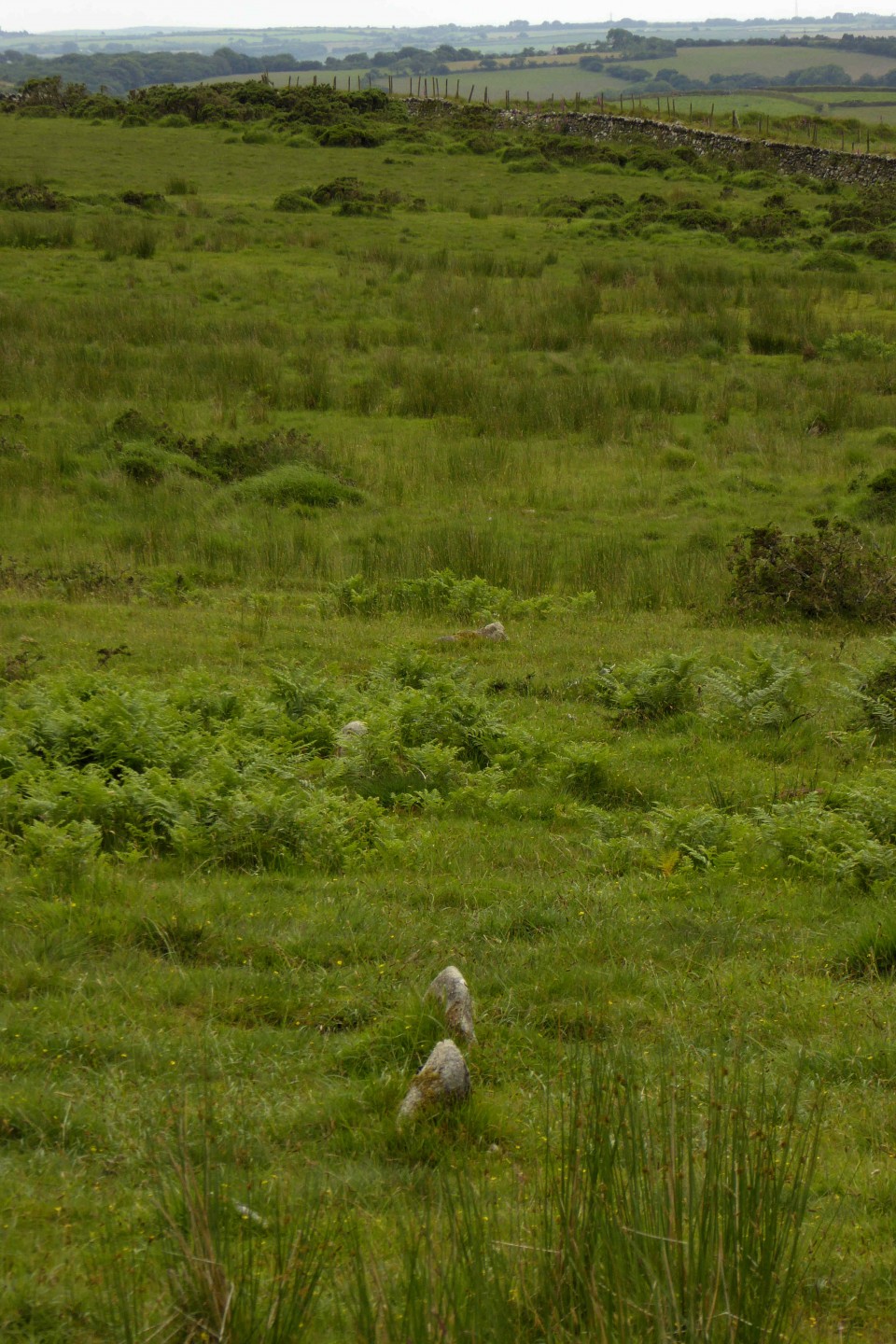
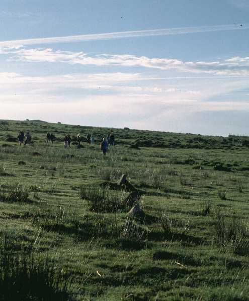
The row lies accross the bottom of a natural bowl below the Craddock Stone Circle. Iain, our guide on Saturday morning, found it easy after we had visited the settlement below Golddiggins Quarry. This is a new area of the moor to me and there is lots to discover! Much discussion was had as to what various mounds, stones, dips might have been. Hopefully I will have some photos to post soon.
I'm not sure if this site has an 'official' name so I have simply called it Craddock Moor Stone Row. There's no easy way to describe how to get to this! A compass bearing from Craddock Moor Stone Circle, or the old quarry track, is about the best you can do.
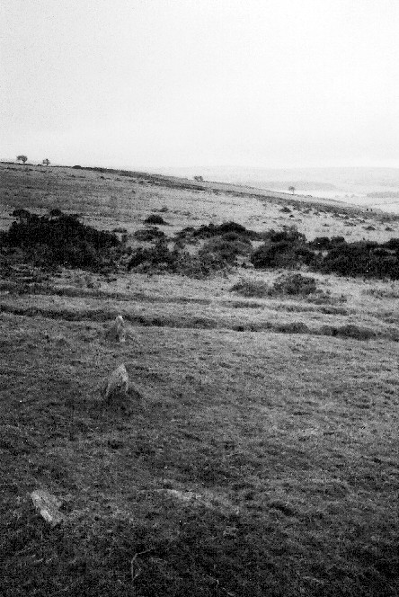
At some point on your bearing you'll come across an ancient ditch (marked on the OS map from 241720 to 242723), which reassuringly means you're getting close. You may be fortunate to find a sort of track that leads down towards a house marked on the map as Lambadla (SX239723).
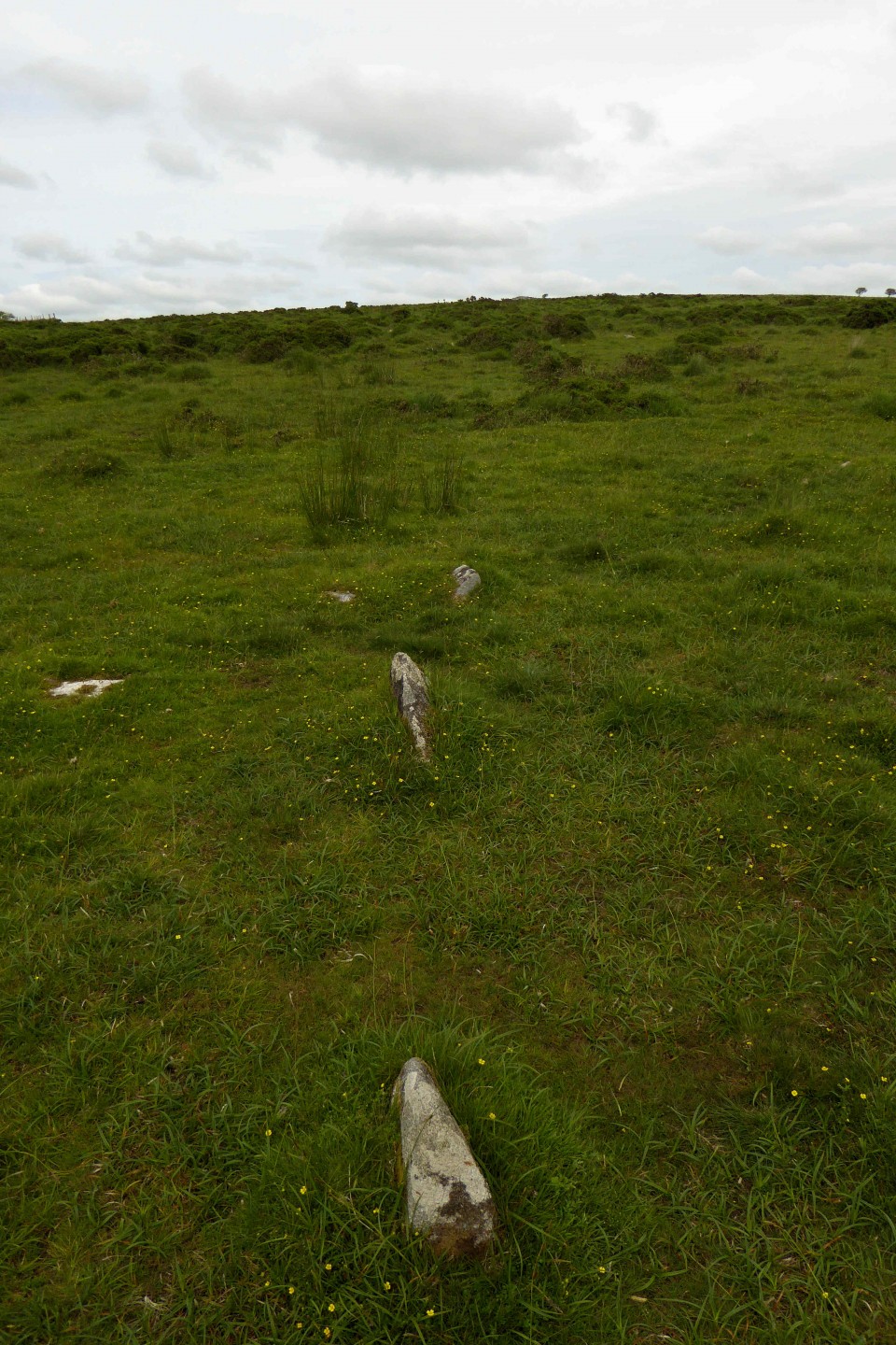
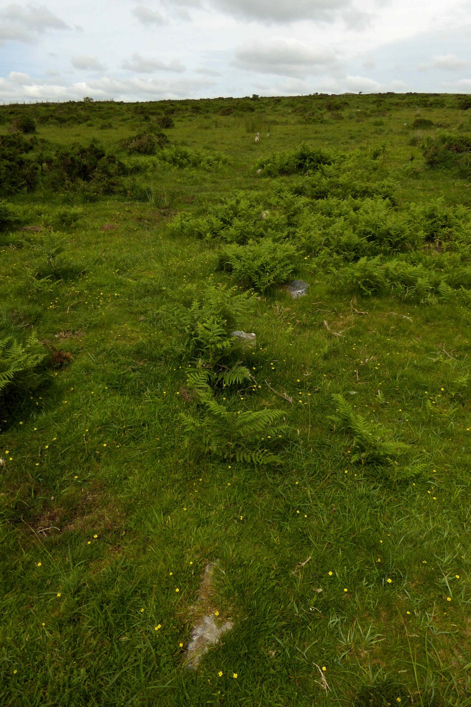
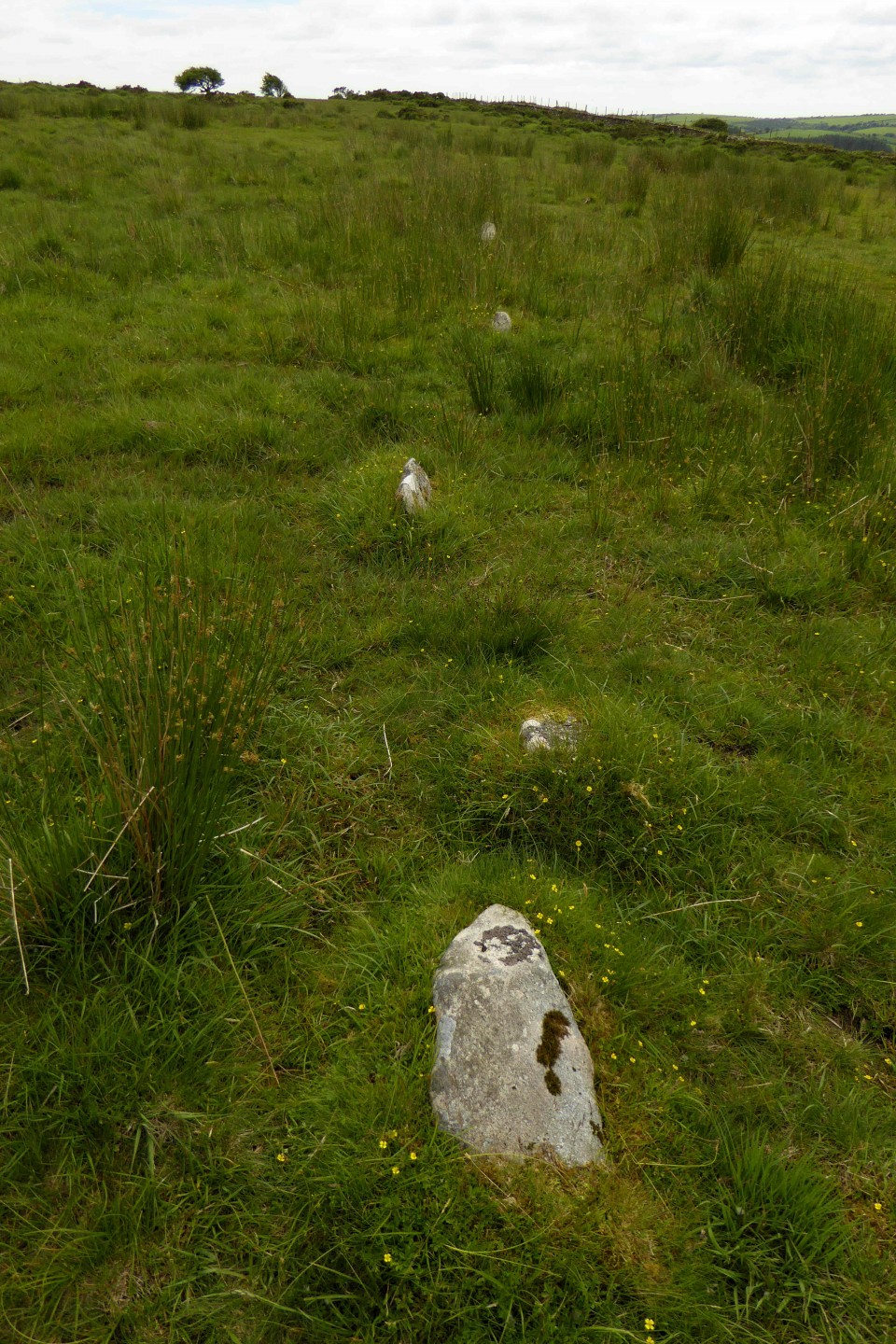
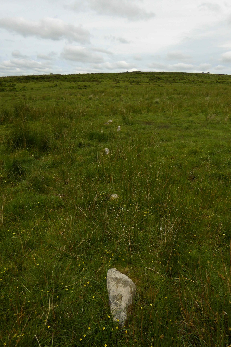
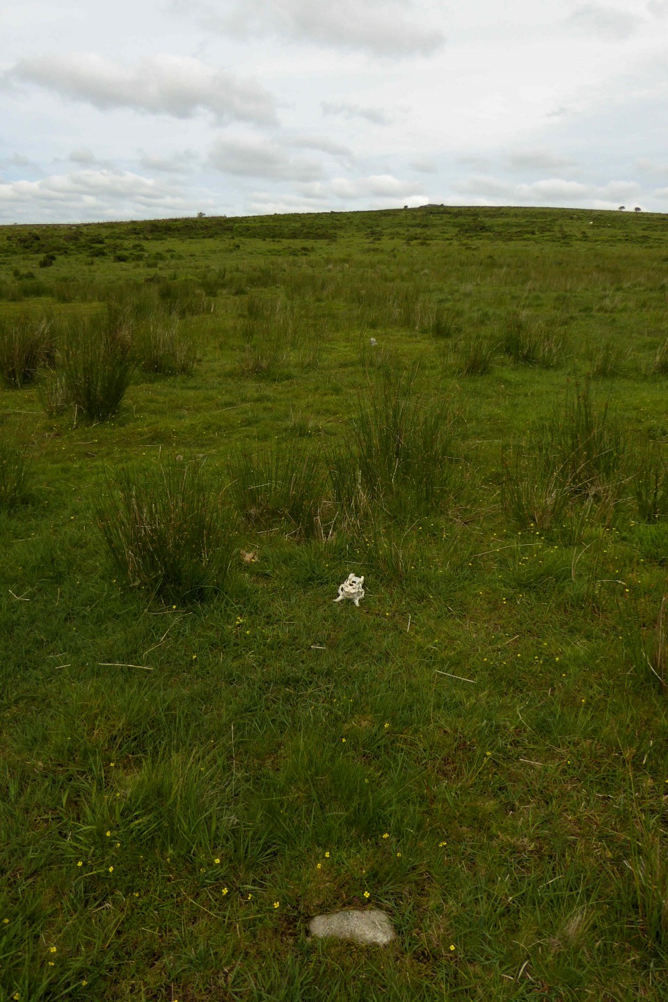
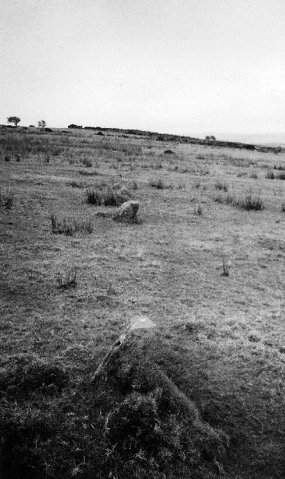
The North East end of the row terminates around the area of this track. The stones are tiny (most barely 10 to 20cms tall) and not easy to find, but once you find one the row becomes quite apparent as the surrounding area contains few other stones in general. I counted 49
stones in all, including 4 slightly off line, ones barely poking through, and a double stone at the South West end (with another stone only 40cms away). I didn't count possible other stones around the area, nor what looked to be a type of 'hook' at what is probably the North East end, where 2 stones hook around towards the West.

 Posted by pure joy