The site map referred to by Rhiannon (as featured on the EH website) actually incorporates cropmark discoveries made since Whittle published his excavation report. For more details see the article in Wiltshire Archaeological Magazine vol 96, 2003, pages 148-160.
Markings on the ground here (just south-east of Silbury Hill) were spotted in an aerial photograph in the 1950s. It was some time later in the 1970s that they were first investigated, when a trench for a pipe was being dug.
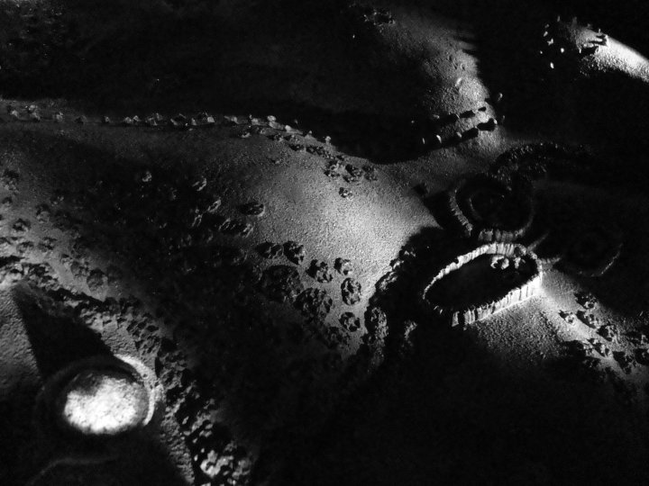
The then Avebury museum curator Faith Vatcher found traces of large holes which would have held 50cm diameter wooden posts - these perhaps would have been a massive 8m tall*. These outlined the larger westerly enclosure (350m long, 200 across). The other enclosure was rounder, and had slightly smaller posts (five for every 3 metres).
The map on the link shows the layout of what is known - the complex of double rings, curves and straight lengths, with maybe smaller rings to the south east. Although the stream cuts through it, it's possible that this has changed since the late Neolithic when the enclosures were probably constructed.
Alasdair Whittle excavated the enclosures between 1987 and 1992. If you can find it, his 1997 report "Sacred mound, holy rings" should give the full story.

 Artistic / Interpretive:
 Posted by Rhiannon