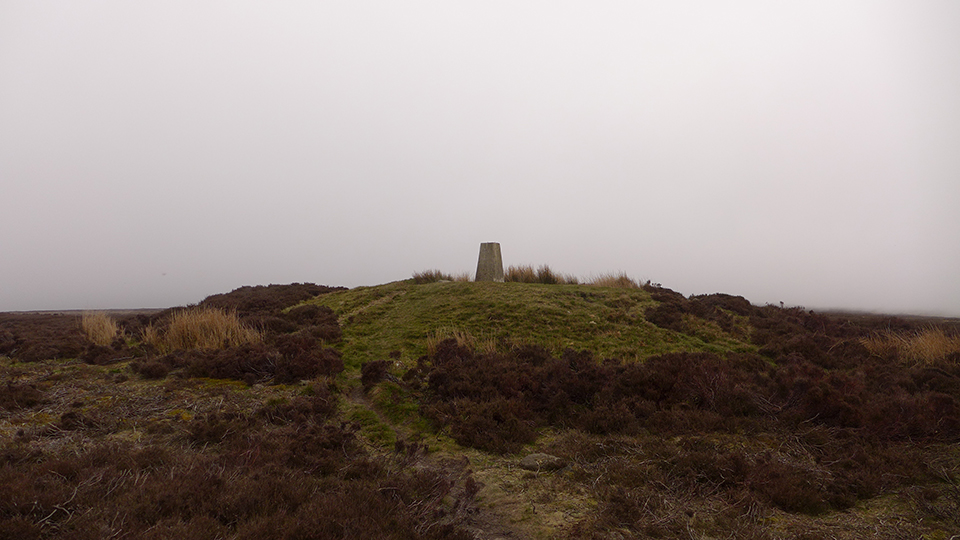
07/05/2016 - Easy walk up from Clay Bank car park. Cairn on summit with trigpoint on top. Thick cloud today so the views (which I bet are good) will have to wait until next time.
This is a fairly non-descript round barrow with a trig point planted on top of it and is the highest point of the North York Moors. The trig pillar is 1489ft (454m) above sea level. The views alone are worth the walk. This part of the moors seems to have it's own weather system. I witnessed the cloud level drop from a few thousand feet to ground level in a matter of a couple minutes.
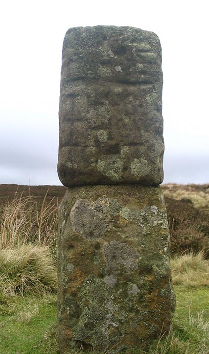
Another nice feature to look out for is the lovely Hand Stone. There are a number of Hand Stones on the NYM but I think this is my favourite. The carved 'waist' gives it a sort of totem pole look.

 Posted by thelonious
 Posted by fitzcoraldo