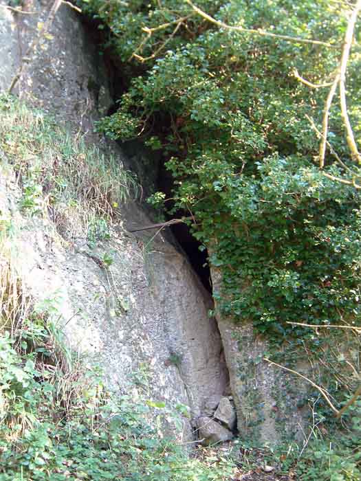
Access is only possible after mid to late summer when the Manifold River dries up and runs underground. Always wondered what the folk back in the day made of this....unless they had it figured already.
Follow river-bed round to the back of Beeston Tor Farm and there are two entrances, 10ft, above the river bed....one is very obvious, about 6ft up in the cliff wall (a blind tube of around 100ft) to the right of this (about 30ft) is a fissure looking opening into St Bertrams itself.
It's worth taking a torch as the tunnel at the back of the cave leads into quite accessible tubes and chambers if you don't mind crawling now and again.
Excavated in the 1830's and then in the 1920-30's by Wilson the cave gave up a wide range of artefacts including Upper Palaeolithic flints, Bronze Age pottery, flints and a jet armlet; along with later Romano deposits and a Saxon hoard.