Friday 23/7/04
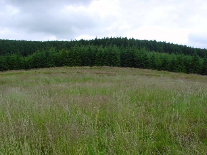
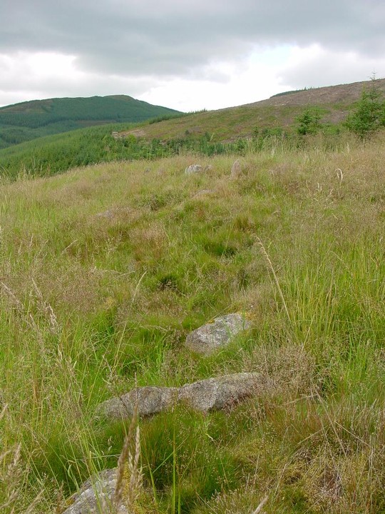
The forest opens out to a clearing to the east of the firetrack (again there are Forestry Commission ‘S’ posts around the site where they have cleared the trees from it). I climb up from the drainage channel at the side of the fire road and can see one of the ramparts due to the presence of many outer facing stones still in place. This settlement sits in a hollow with the hillside it is built on actually higher that it- so not a defensive position. The interior is irregular and there are no discernable features to be seen.
From the RCAHMS CANMORE database;
This fort lies within a small clearing in the Glentress Forest and a forestry road passes immediately to the W of it.
The defences have consisted of two stone walls which enclose an area measuring 155' by 135'. They have been heavily damaged by stone-robbing and tree-felling, and much of what remains is now obscured by a thick covering of rough grass. Little survives of the outer wall round the W half of the fort, but on the E its debris appears as a stony bank accompanied by an outer ditch. Where best preserved, the bank stands 3' above the bottom of the ditch and 3'6" above the interior. Five outer facing-stones are still visible, the largest of them measuring 4' in length and one foot in height above ground. The inner wall, however, can still be traced for almost its entire circuit as a stony bank standing up to 2' in height. A number of its outer facing-stones remain, including an unbroken stretch of the wall face, 31' in length, on the ENE. These stones, like those in the outer wall, are large blocks, standing up to 1'6" in height. No inner facing-stones can be seen in either wall, but the dimensions of the core suggest that the walls had an original thickness of 8'-10'. The entrance is on the S and appears to have led obliquely through the defences. A modern track has enlarged the original passage and there is now a wide gap in the inner wall at this point. From the W end of this gap a stony bank runs obliquely across between the two walls, and within the gap itself there are two shallow semicircular depressions; in the absence of excavation it is impossible to determine the true nature of these features, but it seems likely that they are simply a by-product of the subsequent mutilation of the site. Within the interior on the SE a low scarp extends inside the inner wall for a distance of 80' uniting with it at either end. In this scarp there are a number of large boulders which do not appear to be in situ, and which are probably disloged facing-stones originally belonging to the inner wall. The remainder of the interior which rises 18' from W to E is featureless.