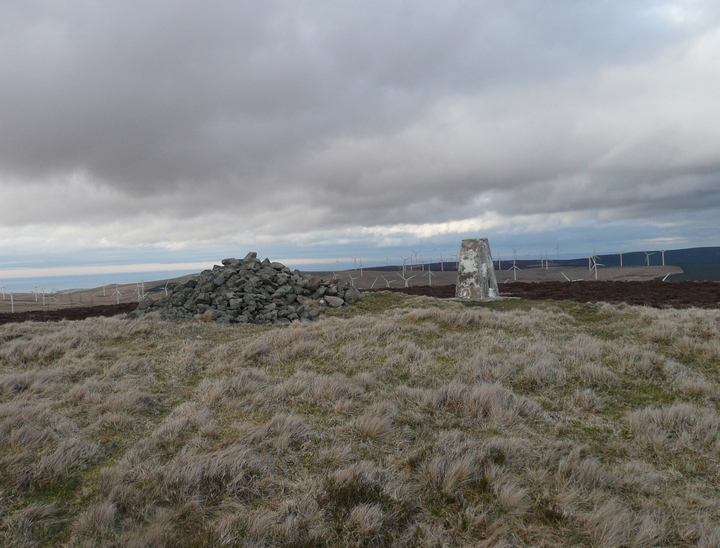
20/03/2011 - Good parking at east side of bridge over Whiteadder Resr (NT 64576421). We followed track north then east to Gamelshiel Castle. Bit of a pull up from here to get to the cairn on summit of Spartleton Hill. View's changed a bit since Martin's fieldnotes, big wind farm to north now.
Friday 23/8/02
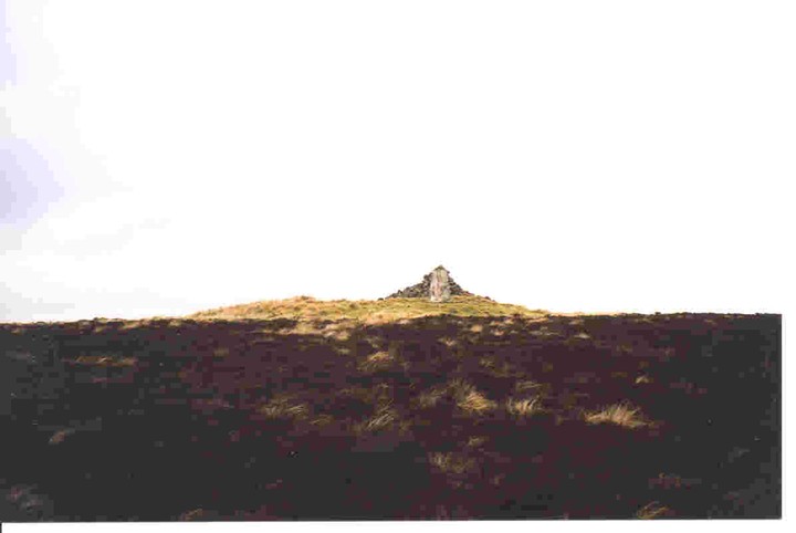
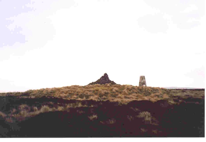
Atop Spartleton, the highest hill around the Whiteadder archaeological landscape, a cairn 17 m in diameter. Despite a triangulation pillar just to the north and a modern summit cairn built on top, the original cairn still stand to about 1.2 m. The view from the summit is amazing. I sit here for ages soaking in the scenery, contemplating the ancient land around, then plug into my CD player and let Godpseed You Black Emperors ‘Lift Yr Skinny Fists’ wash over me- a phenomenal soundtrack to an equally phenomenal land.

 Posted by thelonious