This site is of disputed antiquity. If you have any information that could help clarify this site's authenticity, please post below or leave a post in the forum.
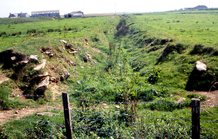
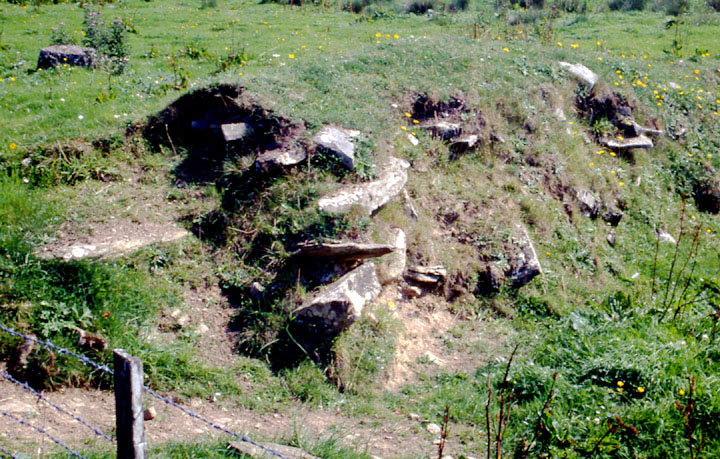
The lower of the two parallel lines of the burn as it passes NE of the community centre. Unlike the other stone walls line the sides to a height of 1.4m at a distance apart of 4m. But where it passes under the road the bottom is lower, giving a total height of 2.5m. So the main dimensions are the same as those of the Kirk Ness Dyke http://www.themodernantiquarian.com/site/6446 and it would appear to bear the same relationship to the Round Howe "pseudo-broch" http://www.themodernantiquarian.com/site/5630 as that does to the coastal Kirk Ness mound http://www.themodernantiquarian.com/site/6434. Which would appear to make it a drystone dyke boundary and cru also.