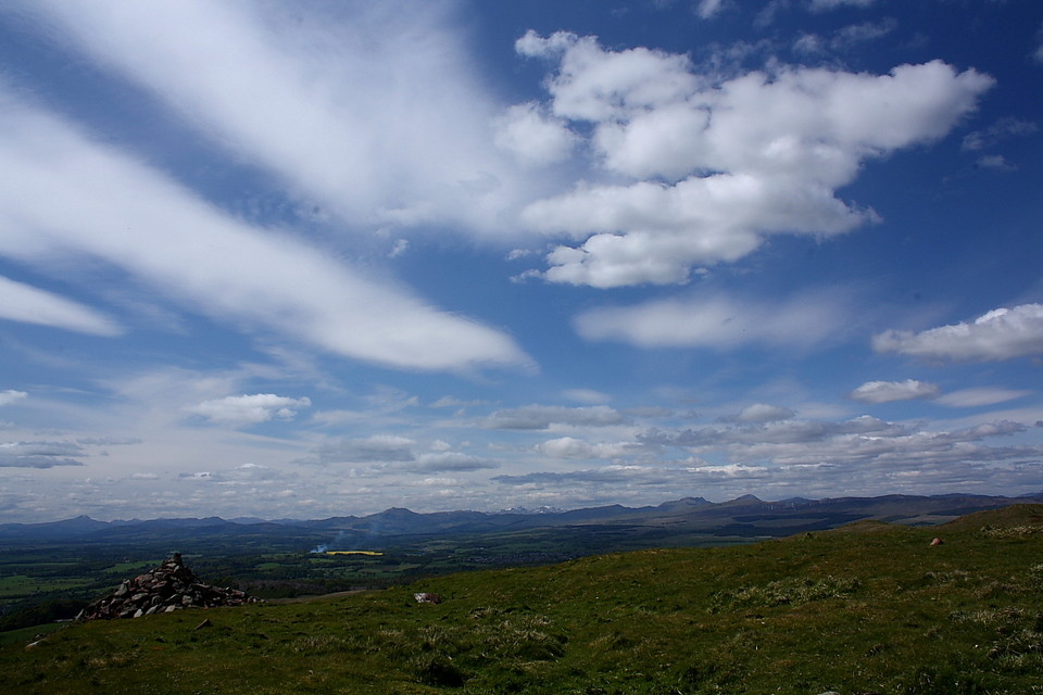
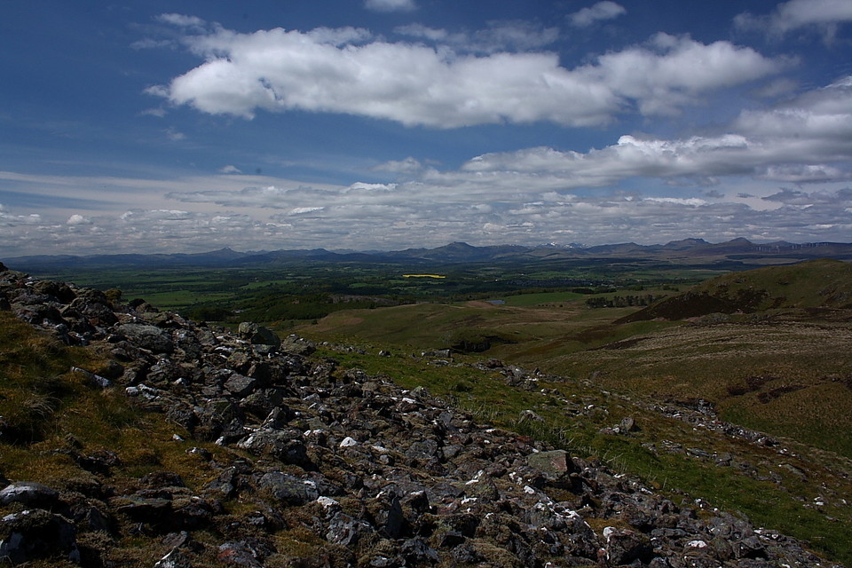
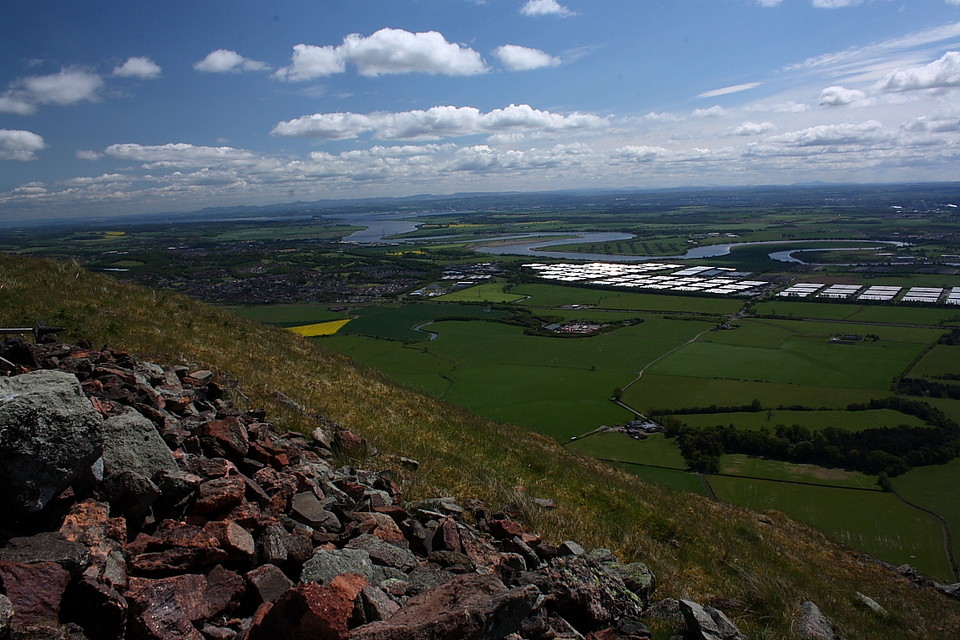
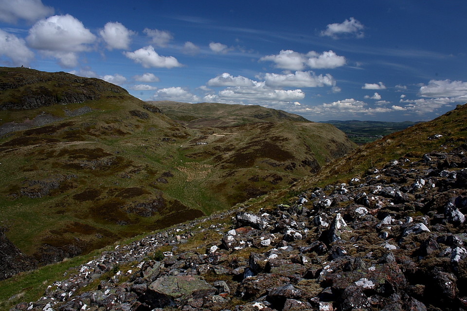
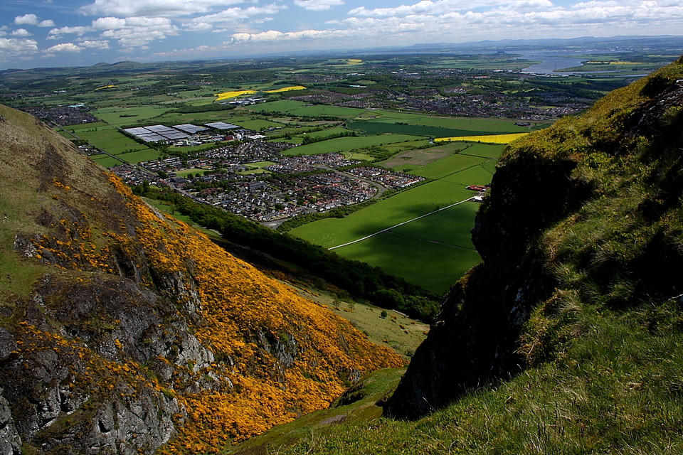
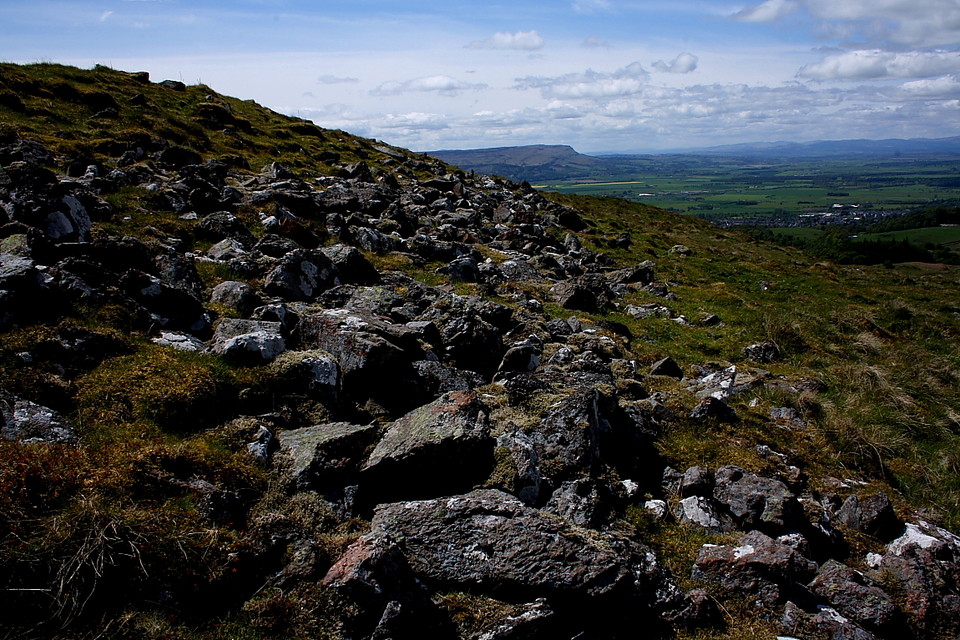
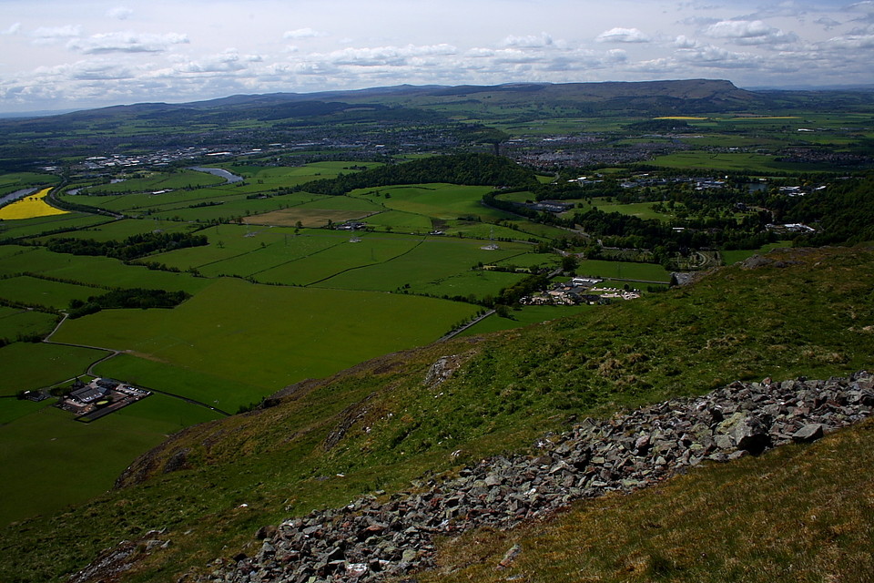
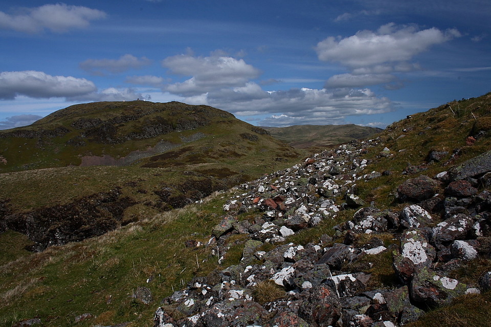
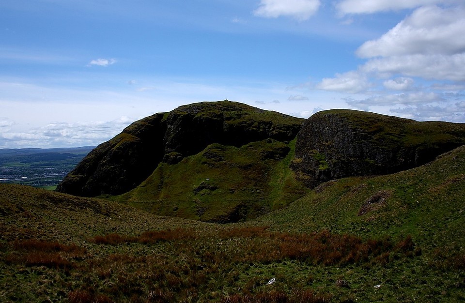
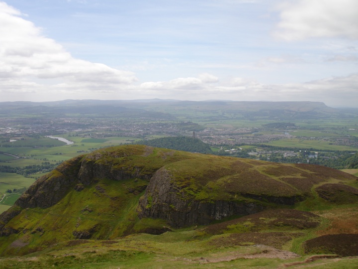
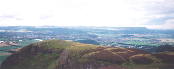
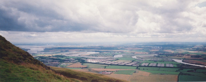
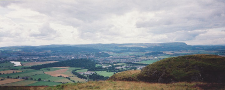
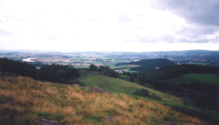
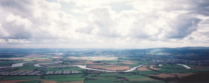
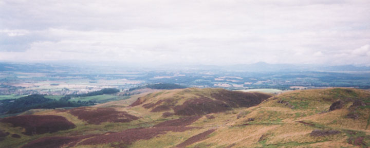
The fort of Dumyat, which sits on a spur of the larger hill of the same name behind it, is in an excellent defensive position commanding wide-ranging views across the Carse of Forth to the south, and on the western edge of the Ochils.
The name Dumyat is believed to derive from Dun Maeatae - the fort of the Maeatae. The Maeatae or Miathi were a tribe in central Scotland. Xiphilinus, writing in CE 208 of Septimus Severus' campaigns, said "the two most important tribes of the Britons (in the North) are the Caledonians and the Maeatae. . . . The Maetae dwell close to the wall which divides the country into two parts and the Caledonians next to them. Each of the two inhabit rugged hills with swamps between".
Whether or not the wall Xiphilinus mentions is Hadrian's or the Antonine Wall has been debated by historians. But the description of "rugged hills with swamps between" matches perfectly with Dumyat, which stands proud above Blairdrummond Moss, which until the late 18th century and early 19th century was still mainly swampland, passable only by those that knew the raised pathways.
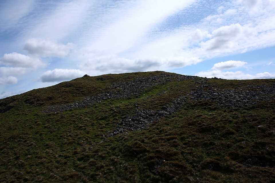
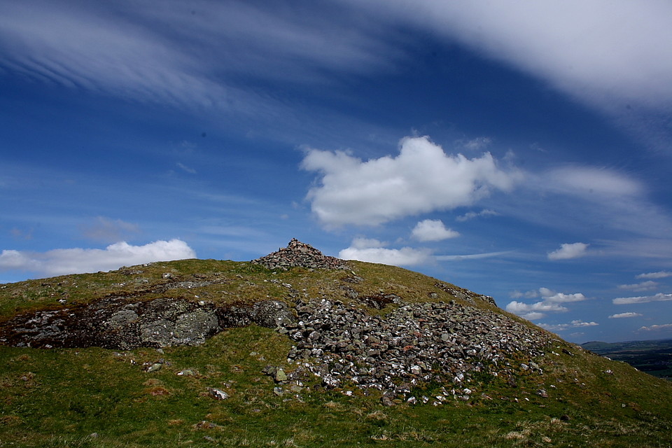
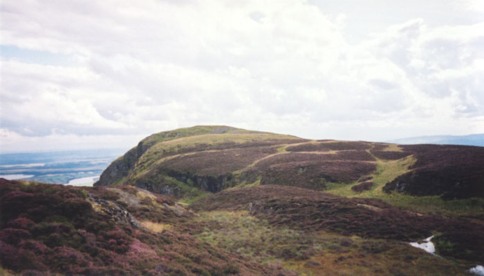
The fort itself has several phases of development stretching from the late 1st millenium BCE into the early 1st millenium CE. To the E and NE of the fort, the land rises steeply up to the summit of Dumyat the hill. To the S there is a 1000 ft sheer drop to the floor of the Carse of Forth. The easiest access is from the W, so this is where the defences are most significant.
The first phase of building consisted of two closely-set heavy stone ramparts enclosing an area 320 ft by 180 ft entered by a single gateway on the W. Outside the gateway are further defences believed to be from a second phase of development. Inside the outer walls is a smaller enclosure crowning the summit of the site, and measuring 85 ft by 50 ft, with walls 12 ft thick. This inner enclosure may have been contemporary with the outer walls, or it may represent a later development, where a smaller fort was built within the ruins of an older and larger one. However interestingly the inner enclosure was linked to the outer by a section of wall, possibly suggesting that they were contemporary.
Despite being built in a very defendable position, Dumyat is actually very easy to get to. Get yourself onto the A9 in the centre of Stirling heading N on the dual carriageway section. At the roundabout by the bridge, take the right turning, and head out past all the B&Bs towards the Wallace Monument. At the next roundabout turn right onto the A907 for a mile or so, then left at the next roundabout onto the A91. After about a mile of very straight road towards the bottom of the Ochil hills there is a sharp corner to the right - turn left here onto the B road, and take an immediate right past the wee Logie kirk. Follow this (very steep and narrow!) road as at twists up the edge of the hill, and at the T-junction take a right. There's space to park soon after, at about NS 813 982.
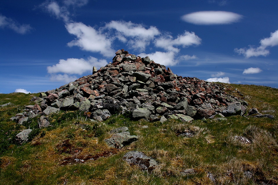
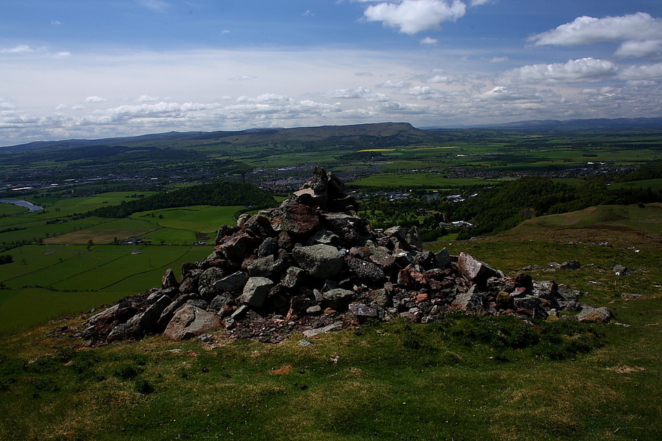
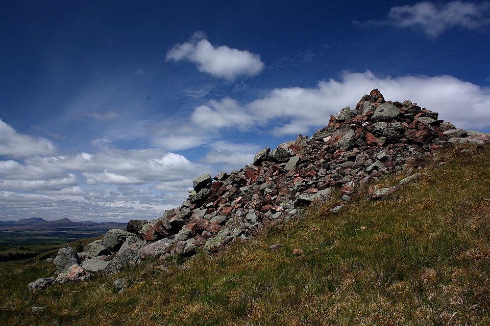
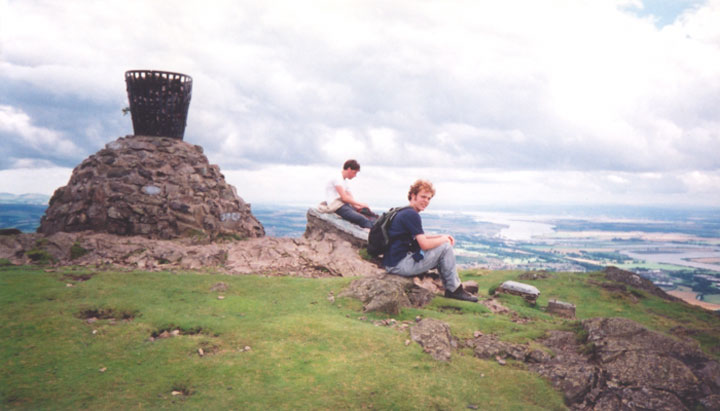
A gate into the field here will take you onto the track that is marked on the OS map and will lead you right to the summit of Dumyat the hill, behind the fort. I would suggest going up to the top of the hill as the views over the Carse of Forth to the S, and Loss Hill to the N are amazing, as well as giving you a good look at the fort below. If you don't want to go to the summit of the hill, break off from the track around NS 830 977 and carefully pick your way S through the heather - being aware of the sheer drops around here - to approach the fort from it's W.

 Posted by BigSweetie