|
|

|
|
Three BarrowsBarrow / Cairn Cemetery
|
||||||||||||||||||||||||
|
|
|
Images (click to view fullsize) |
|
|
Fieldnotes |
|
|
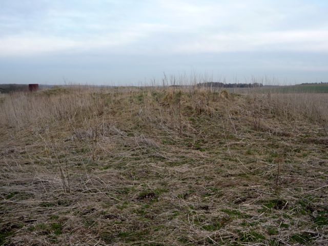
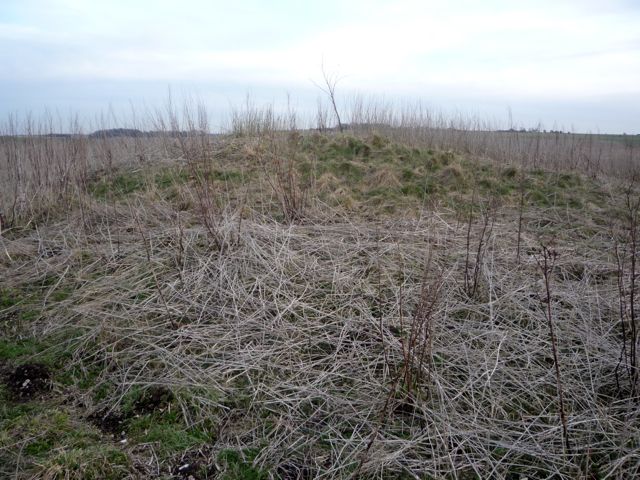
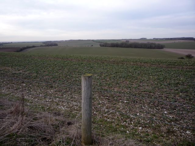
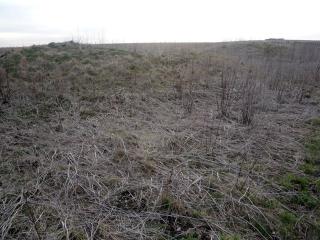
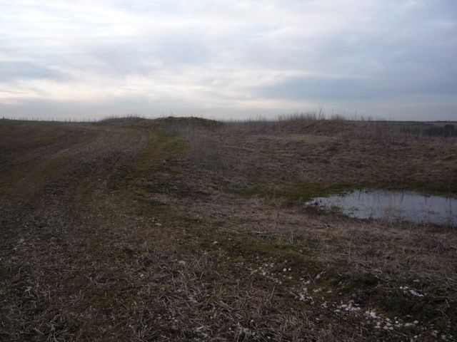
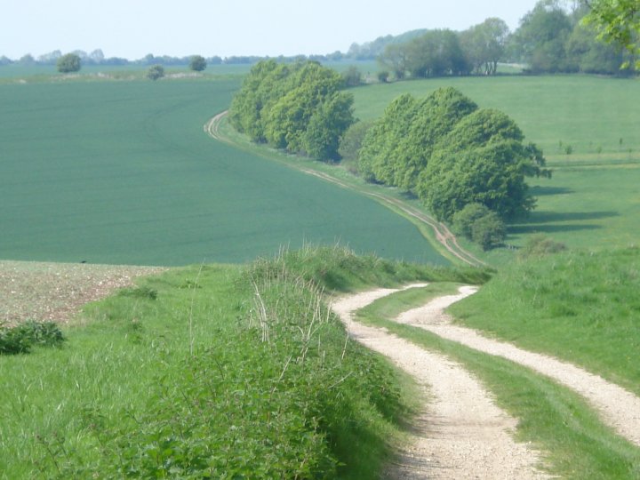
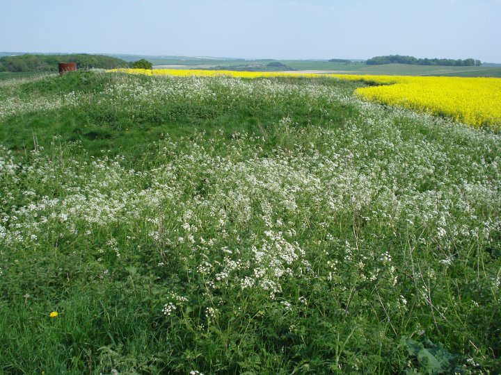
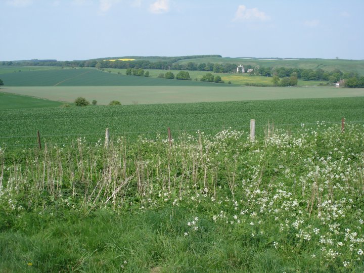
Walking up from Fognam, the trail runs across a series of fields running parallel to the Medieval Park Pale surrounding Ashdown; to the south in the valley bottom runs the Sugar Way, which runs from the barrow cemetery on Sugar Hill, to Hackpen Hill via Seven Barrows. The main barrows, Three Barrows, line east-west along the north ridge of Idstone Down. Just to the north, defining the ridge is an earthwork running east-west which is contemporaneous with the development of the barrow cemetery. There are additional barrows noted in Pastscape as crop markings and also further down the hill. The barrows are quite exposed, the weather this evening having a strong windchill; usually in this area you can also see one of the large herds of Fallow Deer which are part of the Ashdown Estate. |
 Posted by stoer
3rd March 2010ce |
Miscellaneous |
|
|
Details of Site on Pastscape [Centred SU 27508102] THREE BARROWS [G.T.] [SU 27668102] TUMULUS [GT] (Site of). (1) Three Barrows, south of Old Ditch on Idstone Down, Ashbury are in a line, almost touching one another; central hollows suggest excavation, but of this there is no record (3). A - Bowl Barrow, 17 yards in diameter and 4 1/2 feet high, no visible ditch. B - Bowl barrow, hollow in centre, mound 18 yards in diameter and 5 feet high, no visible ditch. C - Bowl barrow, 18 yards in diameter and 4 1/2 ft high, hollow in centre, no visible ditch. D - This barrow was opened in 1878; interment found. Nothing is now visible (2). Date c.1600-1200 B.C. North of the "Three Barrows"; at Ashbury, at the bottom of the hill, is a small unfinished barrow with ditch completed for only three-quarters of the circumference (5). (2-5) The "Three-Barrows" are as described and measured by Grinsell. There is no trace of barrow 'D' the published site of which is under pasture. Published survey (25") revised. (6) The earthwork remains of the three probable Bronze Age round barrows described by the previous authorities were seen centred at SU 2745 8102, SU 2747 8101 and SU 2750 8101. All were mapped from aerial photographs. (8) -------------------------------------------------------------------------------- SOURCE TEXT -------------------------------------------------------------------------------- ( 1) Ordnance Survey Map (Scale / Date) OS 6" 1960 ( 2) Bedfordshire Archaeological Society Bedfordshire archaeological journal (L.V.Grinsell) 40, 1936 Page(s)31 ( 3) Ordnance Survey Archaeology Division Object Name Book reference ONB, Berkshire, 19 SW. 1910 Page(s)5, 13 ( 4) Nicholas Thomas 1960 A guide to prehistoric England Page(s)41 ( 5) edited by P H Ditchfield and William Page 1906 The Victoria history of Berkshire, volume one The Victoria history of the counties of England Page(s)277 ( 6) Field Investigators Comments F1 NVQ 02-MAR-64 ( 7) Scheduled Monument Notification 16-NOV-1998 ( 8) Vertical aerial photograph reference number RAF 106G/UK/1416/3293 14-APR-1946 |
 Posted by Chance
21st August 2012ce |
| Although called 'Three Barrows' on the OS map, these three are actually at the centre of a Bronze Age barrow cemetery which runs along the crest of Idstone Down. There are nine more round barrows in this linear group running NW / SE. The 'Three' however lie in a line east to west, and are 1.5m, 1.6m and 1.3m high – they are thought to be the 'core' around which the rest of the cemetery grew up. The smr record on Magic interestingly says that they lie so close together that their ditches would have been interlocking. At some time two of them have been dug into, but no details are known of the excavations. The surrounding area has produced many finds of worked flints for archaeologists. |
 Posted by Rhiannon
23rd July 2004ce |