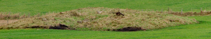
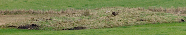
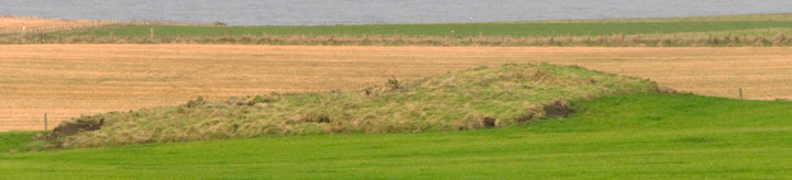
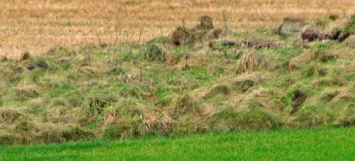
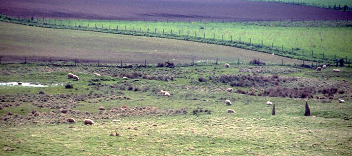
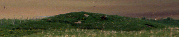
My first picture of Brockan I shot from the northern end of the Leafea Stones' fence. I took several more from nearer the Outertown road later but I think that the pictures will show it looks better from below. Even on CANMAP this is still down as a chambered tomb. Understandable for the size. But a partial excavation found two chambers each with a short passage leading to a common paved stone-walled enclosure (I am reminded that at least one beehive structure used to reside in Breck Farm's stackyard). So CANMORE says present thinking is a secondary broch settlement or a small Skara Brae type village. Despite, or perhaps because of, the proximity of both Warebeth and Breckness I don't quite buy it as the former.Three stones still protrude from the top. I tried several other tracks to approach it but none came much closer (it strikes me with hindsight that the best way is likely to be not to go down the turnoff to Warebeth but instead continue along to where the Outertown road takes a sharp turn and go around the field edges at that point). Looked at from the road there appears to be a possible something in the field to its left, though admittedly only a possible cropmark. There used to be a Brockan Standing Stone at HY23140987.
Brockan and my suspect share the same 6-figure NGR. There is a spring next to Brockan and a well close by my suspect. About the same distance from my suspect as that is from Brockan, at HY233096, a cist with three bodies was found in a probably natural sandy knoll in 1845.
CANMAP still shows this as a chambered tomb, but CANMORE now says RCAHMS NMRS no. HY20NW 1 is the remains of a settlement (presumably centred about the spring here). But they aren't sure whether it is Skara Brae type or secondary broch. Makes you wonder about other chambered cairns in proximity to brochs, there's at least one other in a similar situation. Also Hawell burnt mound used to be compared to this, and at both places "rude stone implements" were found.