|
|

|
|
Bookan CairnsCairn(s)
|
||||||||||||||||||||||||
|
|
|
Images (click to view fullsize) |
|
|
Fieldnotes |
|
|
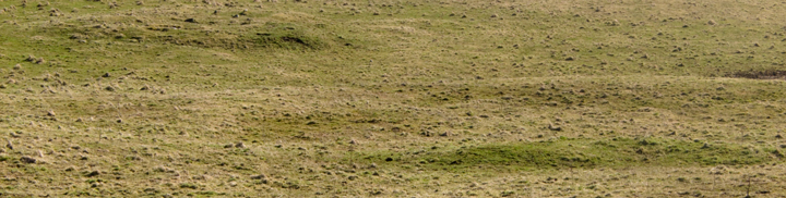
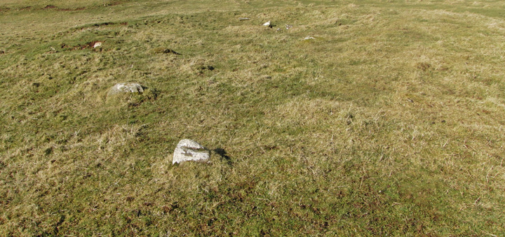
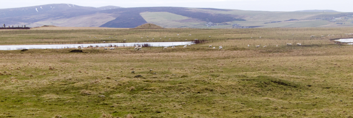
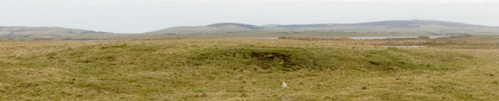
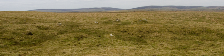
View from the road 6.6.12 Three cairns are visible from the road. They each looked to be approximately 2 metres high x 10 metres across. I didn’t try for a closer look as the field in which they stand was full of cows with their calves. |
Posted by CARL 10th July 2012ce |
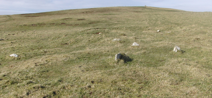
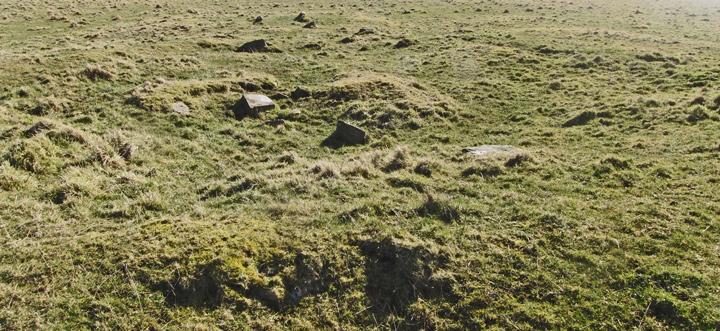
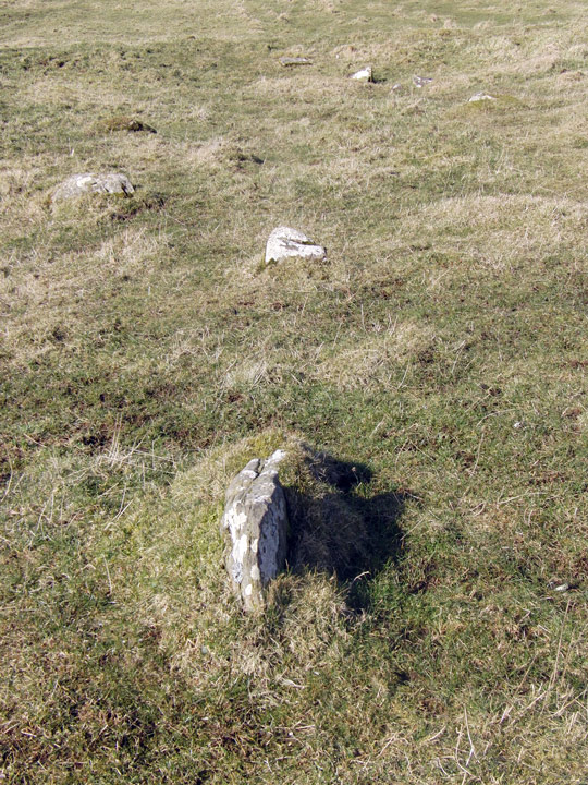
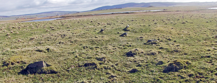
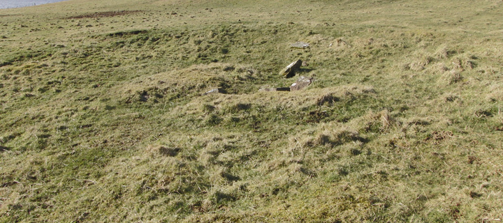
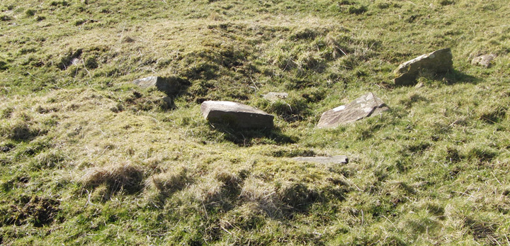
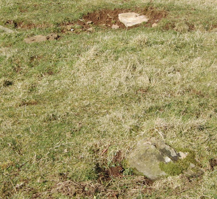
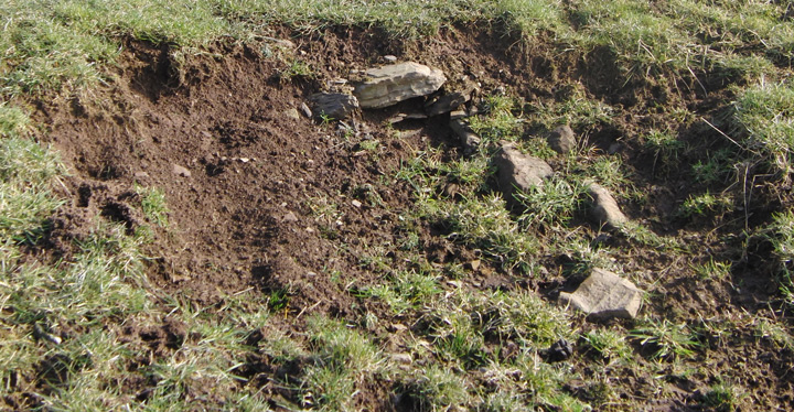
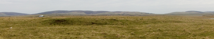
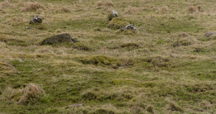
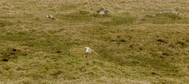
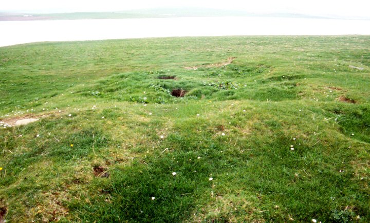
| Still think this could be a much denuded Taing of Beeman like settlement even though the possible dividing orthostats run across the mound apparently on the edge of the southern half rather than strictly in-between. Definitely a game of two very different halves. Backing up from the northern edge of the 'upper' half to take it in I found that I seemed to be stepping back along some kind of small 'causeway' leading up to it. This half consists mostly of a circular depression with a few relaxed stones about it, whereas the southern half has a rather level top with several definite orthostats. Thinking of the Beeman settlement and how it was mistaken for a broch from the air I wondered if the now demoted 'disc barrow' nearby might not be still more settlement [with the bank meant to keep the inhabitants out of the myre]. |
12th March 2010ce |
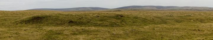
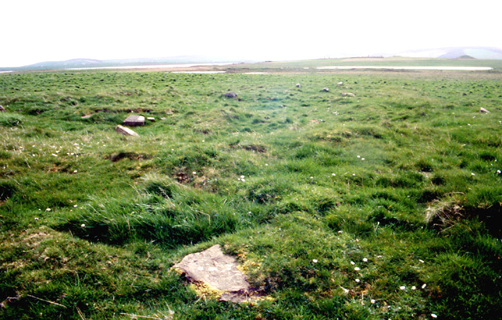
| Apparently two though only one registered with me. In the same slightly boggy field as the Wasbister 'disc barrow', slightly above left of centre, with many stones about a central line. In the mid-19th century they weren't sure what these were only to say they looked like larger versions of hut circles. Lo and behold, when the whole area was geophysiced as part of the interpretation "may also imply that there is also a Neolithic settlement hidden among the remains at Wasbister". |
24th April 2004ce |
Miscellaneous |
|
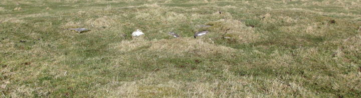
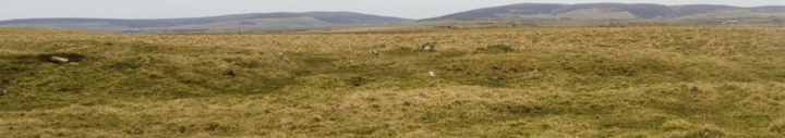
| First described as two half-circle contructions connected by a short stone-lined passage it was thought at the time too big to be hut-circles, now geophysics shows evidence for this being a BA double-house (like the main Taing of Beeman mound). |
30th March 2005ce Edited 30th November 2005ce |