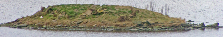
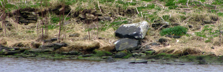
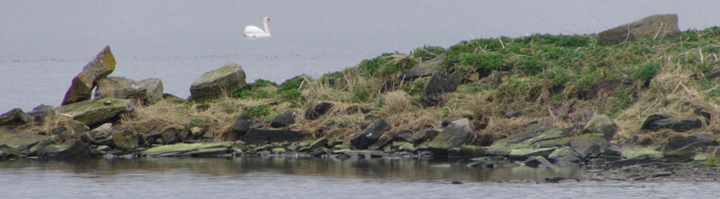
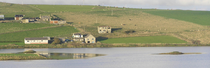
From below Easter Voy followed the loch edge around The Ness. Voy simply means Voy means bay or inlet. There are two of these sites ; site 1 is RCAHMS NMRS record no. HY21SE 85 at HY27071511 then slightly further away a likely burnt mound site 2 is HY21SE 86 at HY26091490. Somehow I failed to see the ever-visible causeway linking the former to the land, probably that short distance walking the field edge rather than the shoreline deprived me of this or its more visible from the islet than the shore. From a Romantic perspective site 2 is the more interesting site, with large stones on the top giving a jaggedly profile and that fine section of wall exposed in the western side.
Near the main road is another burnt mound, HY21SE 26 at HY25351497, in the last open space on the south side of the Lyking road. Its being so close to the mill and its dam I can't help imagining this too was once an islet in the loch like the islet at Redland to the south. In the north side are a couple of very obvious stone blocks. Too nacked by now to go in for a look. The record is for two mounds. That at the back is reckoned natural but it strikes me that what with the disparity between their sizes these could have formerly been one, with the 'cist slab' from the highest point being its centre too. The derelict building on the burn's other bank is Voy Mill itself. On this side further along tis a small scatter of middling stones unlike the usual result of wall collapse and these could have been taken from the burnt mound and removed here after the rest received use elsewhere.
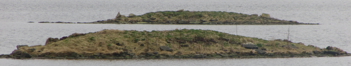
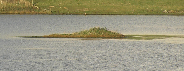
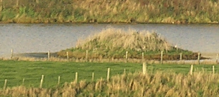
The two islets both have a brown silty layer.
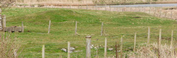
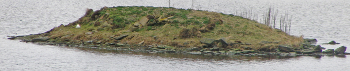
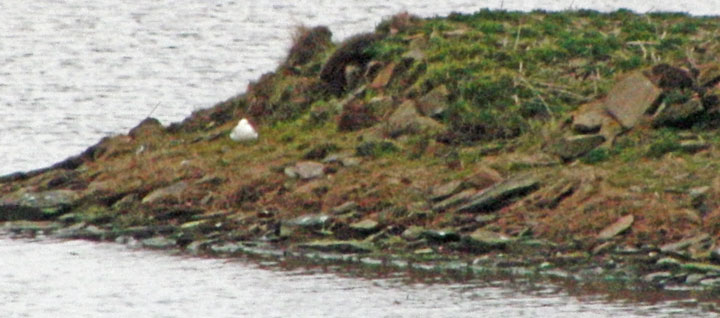
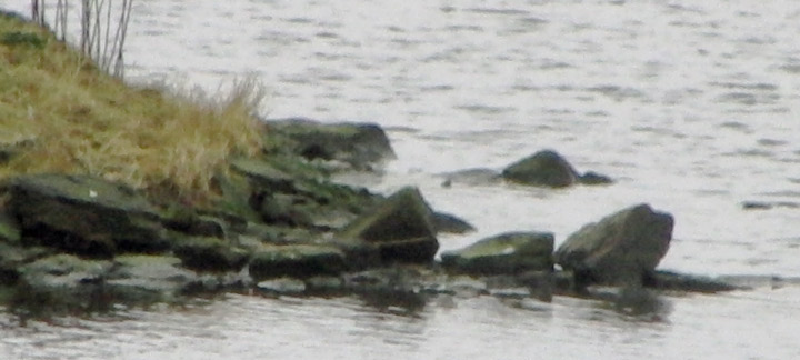
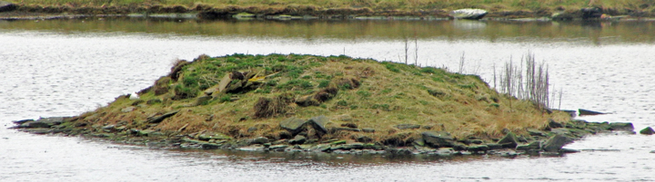
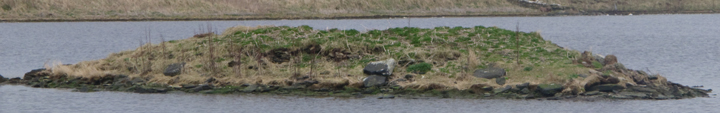
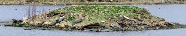
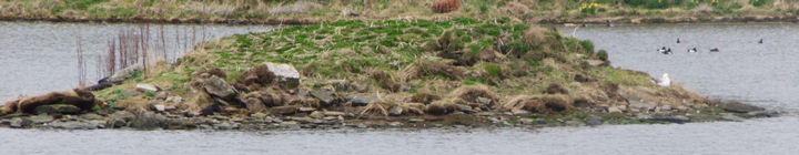
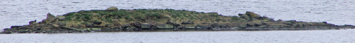
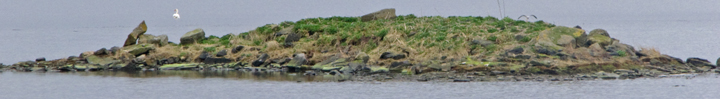
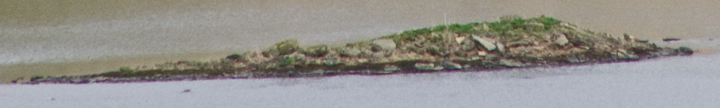
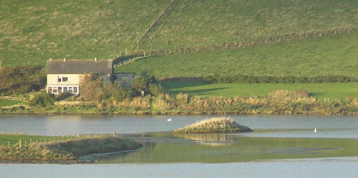
HY26031502 Site 1, is an oval islet 60m from shore in shallows, connecting to The Ness and its supposed chapel with a slab causeway [at other sites called stepping stones ?] with longer axis having wall remains. A precise trial dig on the south in the surrounding loch uncovered a bone fragment and BA potsherds (est. 2500-2000 BCE), found slightly over 6m away in under a foot of stones like the rubble covering the islet (out to a few yards from the edge). It seems that the building had been built on flagstones placed over the considerable rubble layer used to construct the crannog.
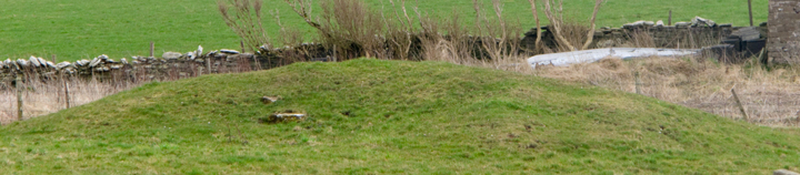
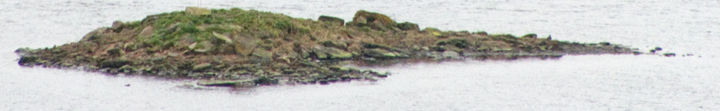
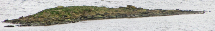
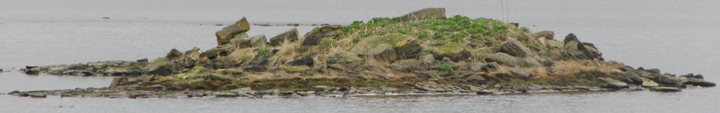
HY26091490 Site 2 is instead crescentic with no evidence of occupation, and the silty layer directly over the substratum, once part of neck of land (in recent history). Which suggests a burnt mound - there is another near the Voy junction, and a smaller islet (HY26451411) further down the loch is not far from the Redland burnt mound.
RCAHMS NMRS records HY21NE 85 & 86. Nice to see professional archaeologists spotting Orkney's anomalous under-representation in the crannog stakes. Several are being looked at this year, of which these (briefly mentioned in my Heart of Orkney weblog "In the loch there were two islets , a very small one on which were some no doubt natural slabs and a larger one with the remains of some structure apparent") are the main targets.