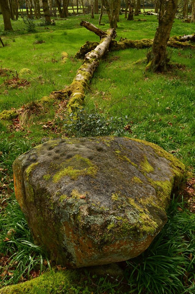
Ellers Wood, Askwith
Cup and Ring Marks / Rock Art
 Image © Layla Legard Image © Layla Legard
|
| Nearest Town: | | Otley (6km SSE) | | OS Ref (GB): | | SE189510 / Sheet: 104 | | Latitude: | | 53° 57' 16.03" N | | Longitude: | | 1° 42' 43.04" W |
|
|
Web searches for Ellers Wood, Askwith
|
|
Photographs: Artistic / Interpretive:
|
|

 Artistic / Interpretive: