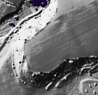
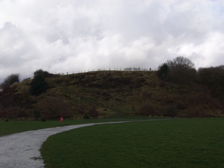
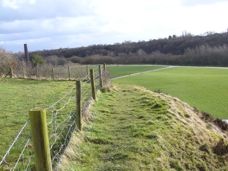
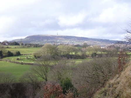
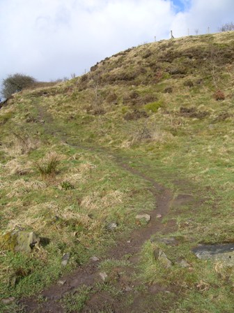
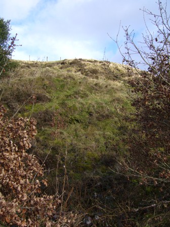
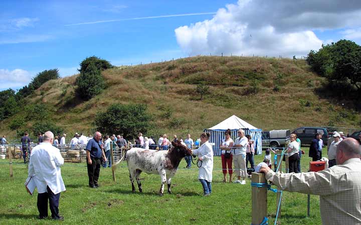
Castlesteads
Hillfort
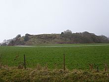 Image © Saban-of-Stonehenge Image © Saban-of-Stonehenge
|
| Nearest Town: | | Bury (2km ESE) | | OS Ref (GB): | | SD797130 / Sheet: 109 | | Latitude: | | 53° 36' 46.18" N | | Longitude: | | 2° 18' 24.77" W |
|
|
Web searches for Castlesteads
|
|
|
This fort was carbon dated to between 200BC to 250AD and apparently is quite visible on the ground.
|
 Posted by juamei
19th April 2004ce
|
|