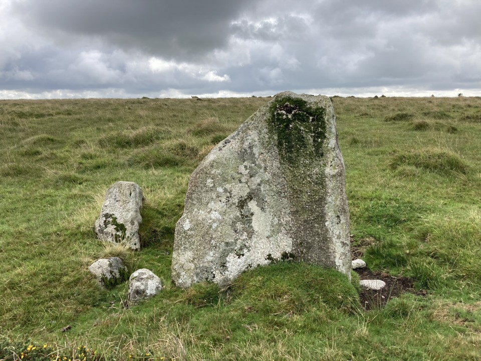
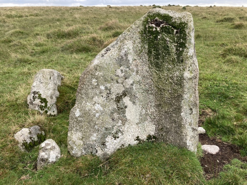
Trehudreth Downs NW Menhir is a wide slab measuring c. 62 inches high and 51 inches wide, leaning c. 20° SE. There is a second stone set at right angles to the menhir. It is a triangular standing stone measuring c. 2 ft high. The site resembles the remains of a cist but there is no evidence of a surrounding cairn. Cornwall & Scilly HER list this monument as HER Number: 1669 (go to Links) providing a fuller description of Trehudreth Downs NW Menhir.
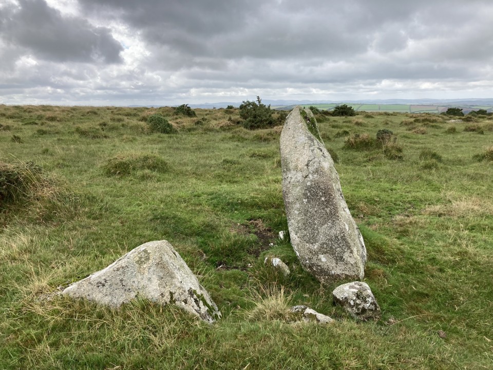
Marked on the OS map. I don't think I found this. It was all getting a bit confusing at this point. The OS map, the text and pictures in Peter Herring and Peter Rose's 'Bodmin Moor's Archaeological Heritage' (Cornwall County Council - 2001) and the text, drawing and pictures in Cheryl Straffon's guide 'The Earth Mysteries Guide to Bodmin Moor and North Cornwall (including Tintagel)' (Meyn Mamvro - 1993, amended 2000) all help, but also can confuse. I think I have helped pull this info together, but without a repeat visit with a GPS system I don't think some of these mysteries will be solved.


 Posted by pure joy