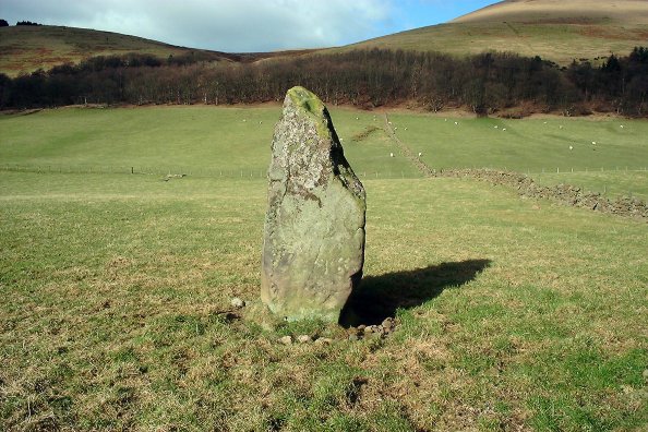
Visited this site yesterday, a very cold, bright day. From the archives of Canmore:
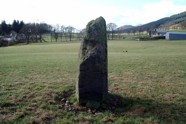
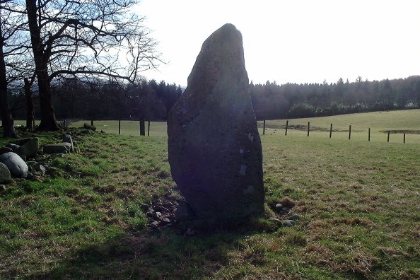
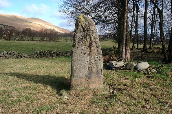
"A large standing stone about 8' high in the angle of the garden wall close to the W side of the farm steading, which gave name to the farm. It is considered a stone of memorial of some event". (By 1923 (OS 25" map) the stone had apparently been moved from its position W of the farm which also became known as the Home Farm).
Name Book 1859.
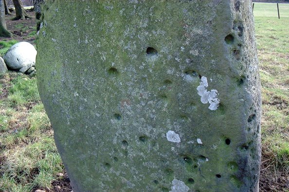
This standing stone, 2.2m high, 1.0m broad and 0.9m thick, bears a number of small cup-marks - especially noticeable on the lower portion of the north side. Some of the 'cups' may be due to weathering.
It's big, in quite a prominent position, and some of the cup-marks are almost certainly weathering - but some aren't. I wonder if the stone was orientated differently when first erected, as cup-marks aren't commonly on the north face of a stone. Maybe it's just an exception.

 Posted by nickbrand