Tealing Hill
Cup and Ring Marks / Rock Art
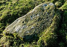 Image © drew/TMP Image © drew/TMP
|
| Nearest Town: | | Dundee (10km S) | | OS Ref (GB): | | NO413397 / Sheet: 54 | | Latitude: | | 56° 32' 44.12" N | | Longitude: | | 2° 57' 17.26" W |
|
|
Web searches for Tealing Hill
|
|
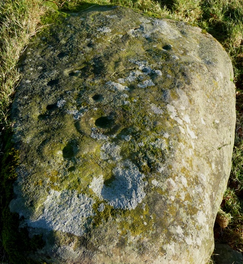
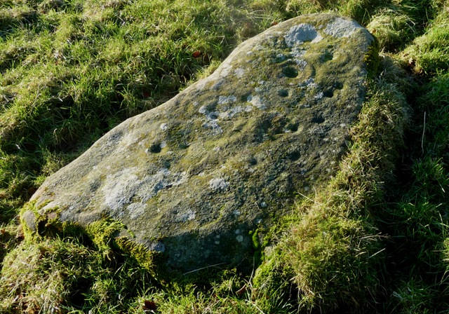
Head east from Huntingfaulds Cairn. Luckily I have the stone's finder so no problems here. 13 cups with 4 ringed. Found by Tiompan during 2004.
Visited 3/1/2015.
|
 Posted by drewbhoy
6th January 2015ce
|
|