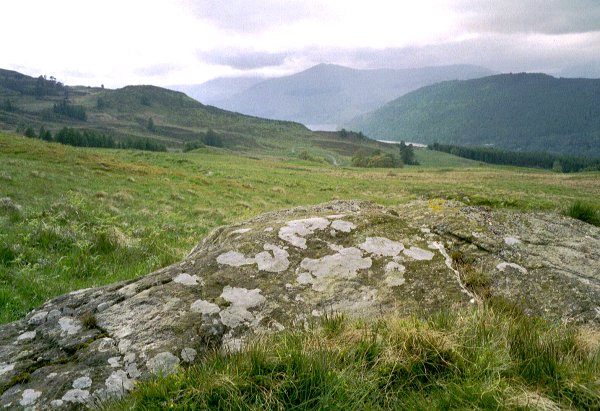
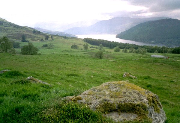
Tombuie Cottage
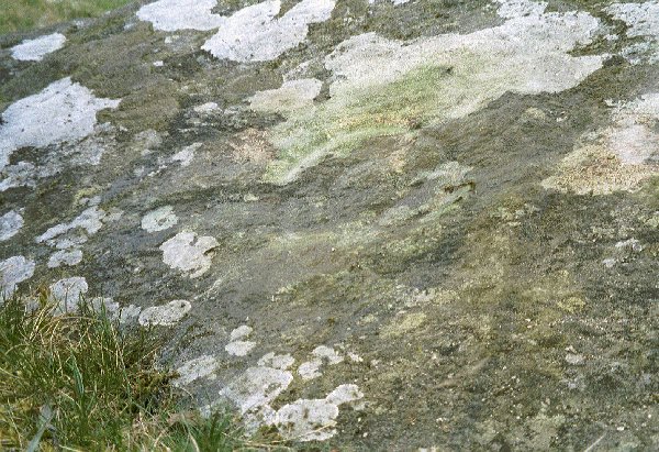
Cup and Ring Marks / Rock Art
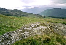 Image © rockartuk Image © rockartuk
|
| Nearest Town: | | Aberfeldy (7km NE) | | OS Ref (GB): | | NN794447 / Sheets: 51, 52 | | Latitude: | | 56° 34' 43.25" N | | Longitude: | | 3° 57' 48.48" W |
|
|
Web searches for Tombuie Cottage
|
|
Tombuie Cottage on BRAC Updated
|
Posted by markj99
30th March 2021ce
|
|