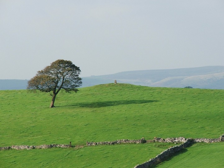
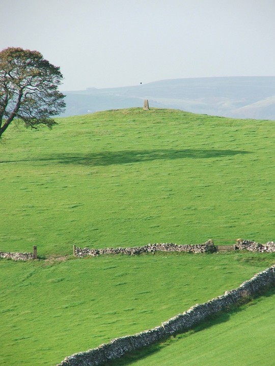
Wetton Low has seen better times….looks more than a little ruffled now.
Measuring something like 23x17m the battered mound can still reach over 1.5m in places even though a large hole, an old limekiln, has eaten away its centre. Luckily there's still enough room left to wang a trig point on the top.
The barrow was excavated in the area around the limekiln and 2 cists were found; one contained a cremation, the other a cremation. A rock cut grave was also unearthed containing an inhumation. Flints and pottery shards were also discovered.
info on finds:
J.Barnatt's & J. Collis' "Barrow Corpus"
B Marsden's "The Burial Mounds of Derbyshire"
It's a coupla fields diversion from the path to the barrow, and while it's nothing special, the views up to Wetton Hill in the north and the Manifiold Valley to the south more than make up for it.