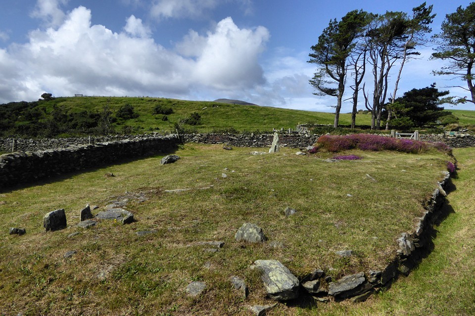
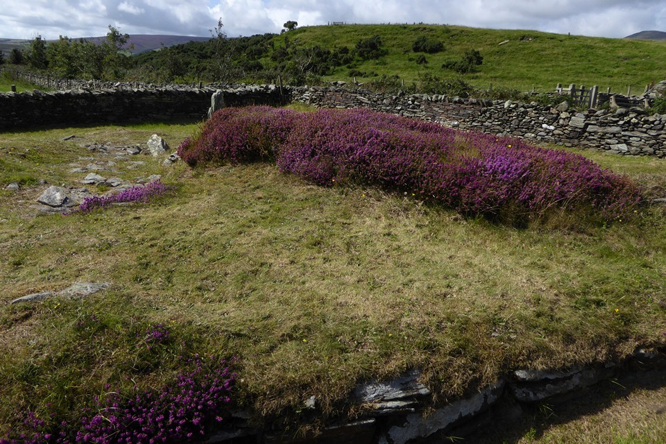
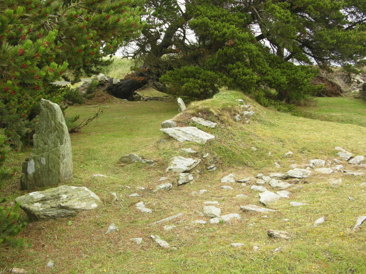
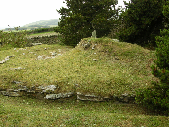
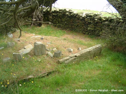
Visited July 2008CE. This is a nice site in a quiet location. Unfortunately most of the trees in the low-walled enclosure had been blown down when I visited. Consequently, most of the south east of the cairn was not visible. From the debris on the ground it looks like it has been like this for a while.
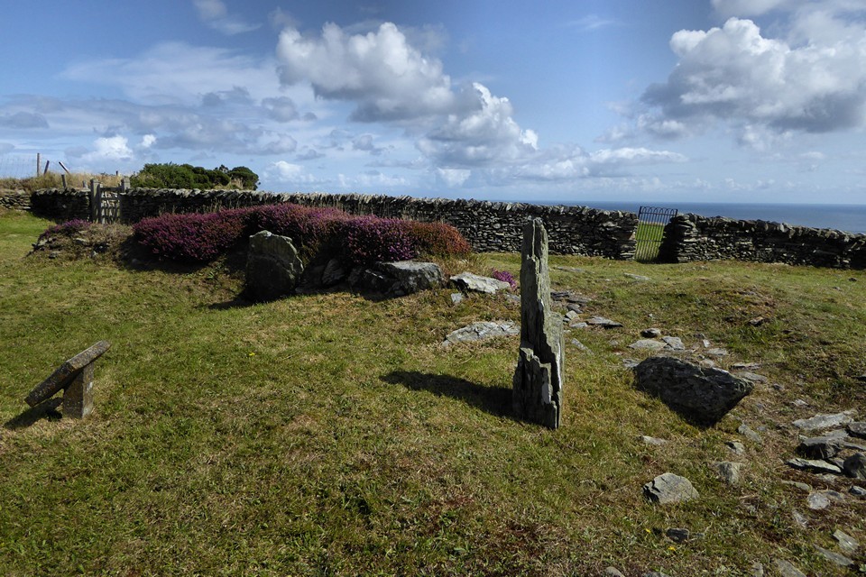
Visited 24th August 2003: I spotted Ballafayle on the Ordnance Survey map, so we decided to take a look on our way to Cashtal yn Ard. Given the low profile the site has in the tourist leaflets and on the web we were surprised to find that there's good access to the site, and quite a bit to see. This was my first proper Manx cairn, so I found it very puzzling.
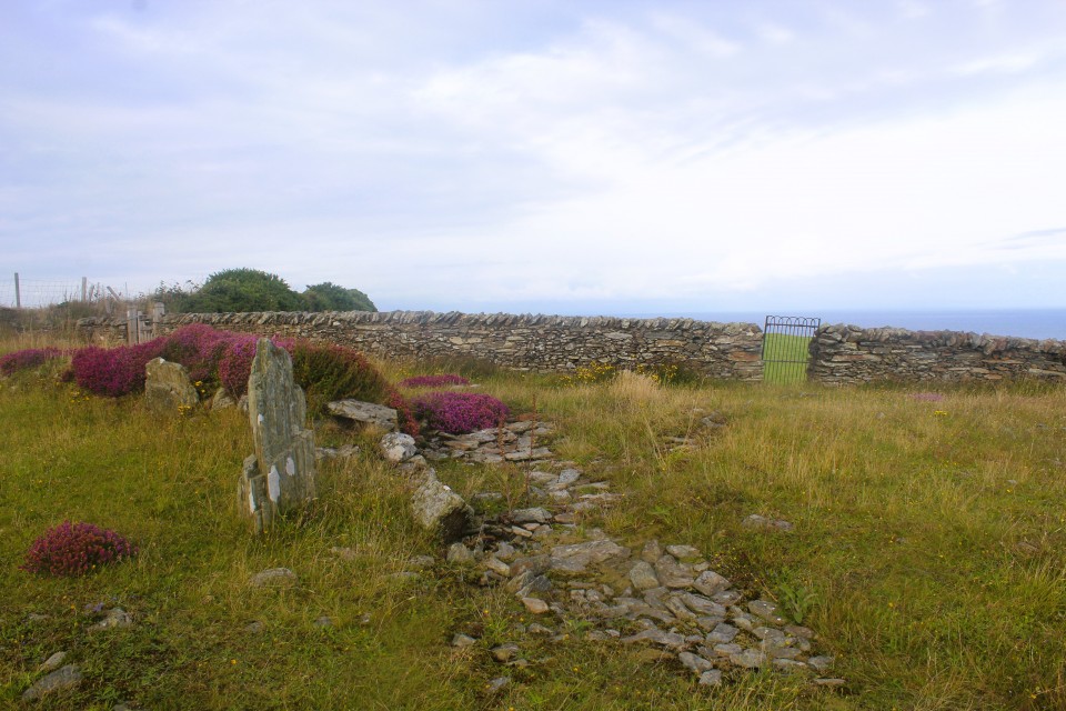
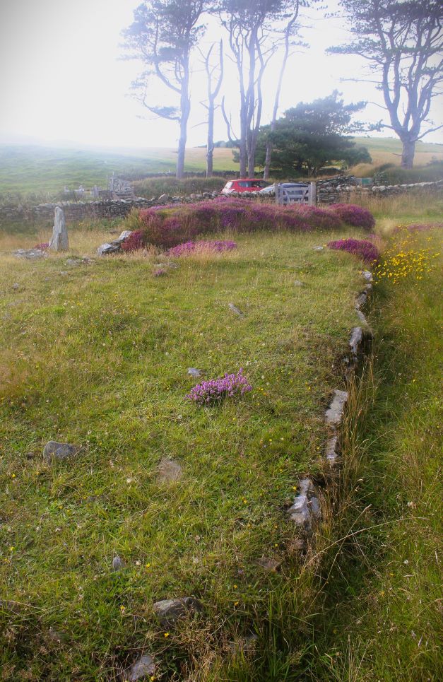
The lane runs right past Ballafayle, with space for a car to park. Immediately opposite the cairn is Rullic Ny Quakern, a Keeill that was later used as a 17th Century Quaker burial ground. Access to from the road to both sites is unnecessarily hindered by low stone stiles.
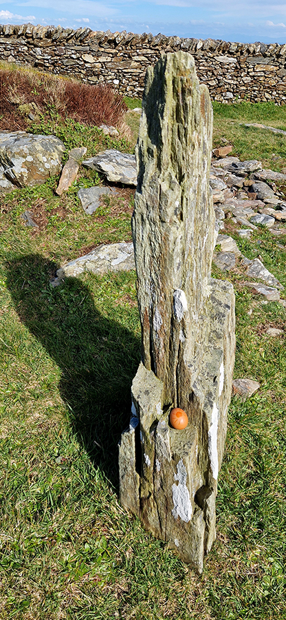
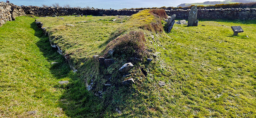
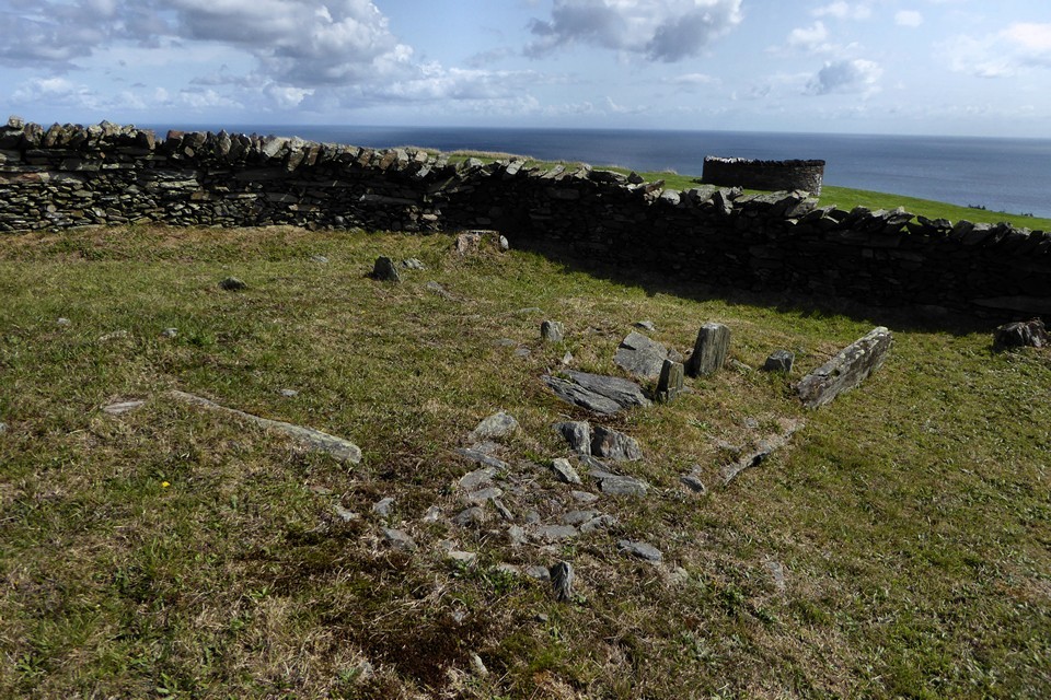
The site was partially excavated by P. M.C. Kermode in 1926 and found that the western side and end had at an earlier time been quarried into for building stone.
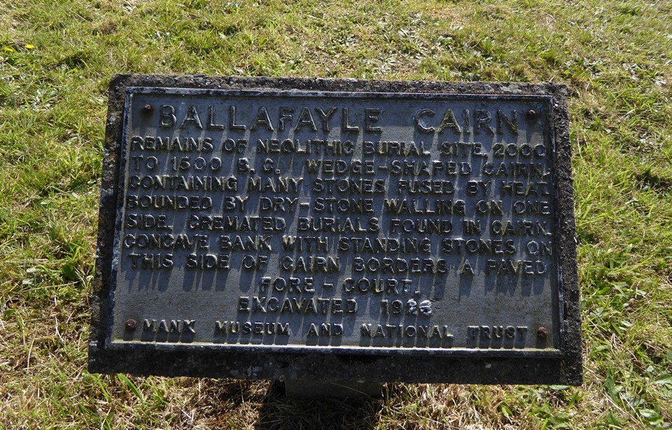
The Manx Museum and National Trust plaque next to the remains of the tomb says:
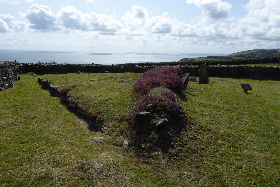
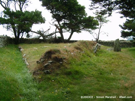
BALLAFAYLE CAIRN
REMAINS OF NEOLITHIC BURIAL SITE, 2000 TO 1500 B. C. WEDGE SHAPED CAIRN,
CONTAINING MANY STONES FUSED BY HEAT.
BOUNDED BY DRY-STONE WALLING ON ONE SIDE. CREMATED BURIALS FOUND IN CAIRN.
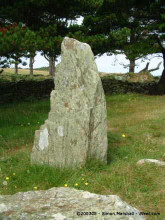
CONCAVE BANK WITH STANDING STONES ON
THIS SIDE* OF CAIRN BORDERS A PAVED
FORE-COURT.
EXCAVATED 1926


 Posted by Kammer