|
|

|
|
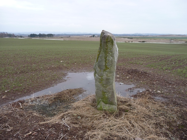
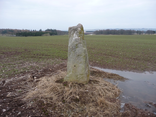
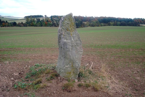
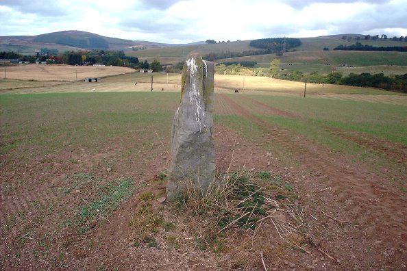
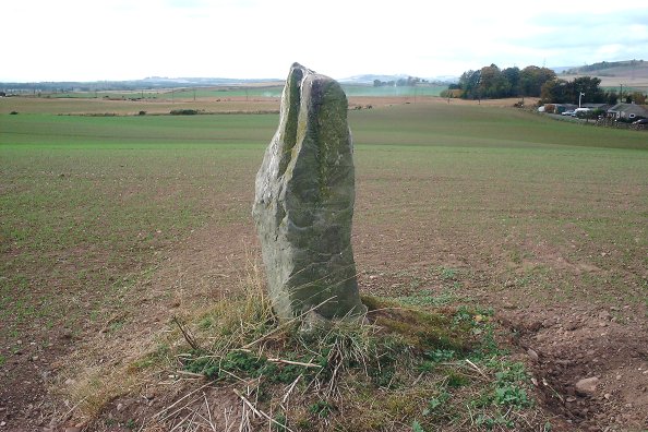
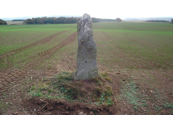
NoransideStanding Stone / Menhir
|
||||||||||||||||||||||||
|
|
|
Images (click to view fullsize) |
|
|
Fieldnotes |
|
|
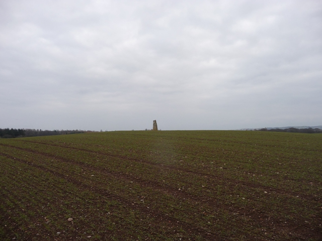
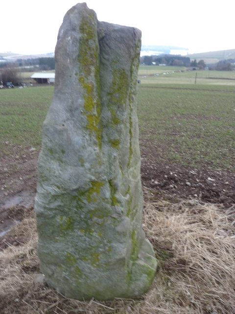
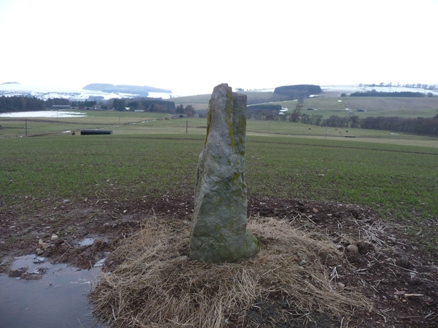
From Vayne I went back to the minor and walked further west through the village of Noranside stopping at the bungalows at Courtford Bridge, this is a beautiful walk of about 2 miles thru non strenous countryside. A jump over a gate and the strikingly shaped stone can be seen on top of the small hill south of Courtford. It stands at 1.85 meters tall looking down on to the Noran Water. Visited 12/02/2013. |
24th February 2013ce |
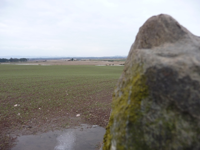
| I've passed this one a few times but the field was always in crop. It's a tall, thin stone, around my height (6'), and has pretty good all-round views of the area. |
 Posted by nickbrand
15th October 2003ce |
Folklore |
|
| Local tradition says that the stone marks the burial place of a Danish general killed in a battle with the Scots here. |
Posted by nickbrand 15th October 2003ce |