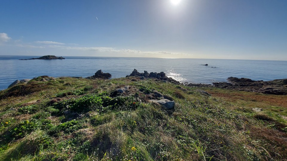
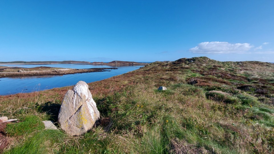
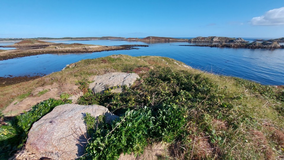
It is quite an adventure to access the passage graves on top of Great Arthur. Firstly get a boat to the uninhabited Little Arthur, before crossing the beach to Middle Arthur and then scrambling across an ankle-breaking boulder-strewn causeway, finally sending up the steep sides of the slope which make up the hill of Great Arthur. It is well worth the effort as once on top the views of the other Eastern Isles and St Martins are outstanding. The ridgeway was an important place for the builders of the tombs. There are the remains of three probable passage graves and two cairns which run along the elevated spine. The passage graves are prominent from the beach below and as you can see they rise up from the ground as modules on the ridgeway.
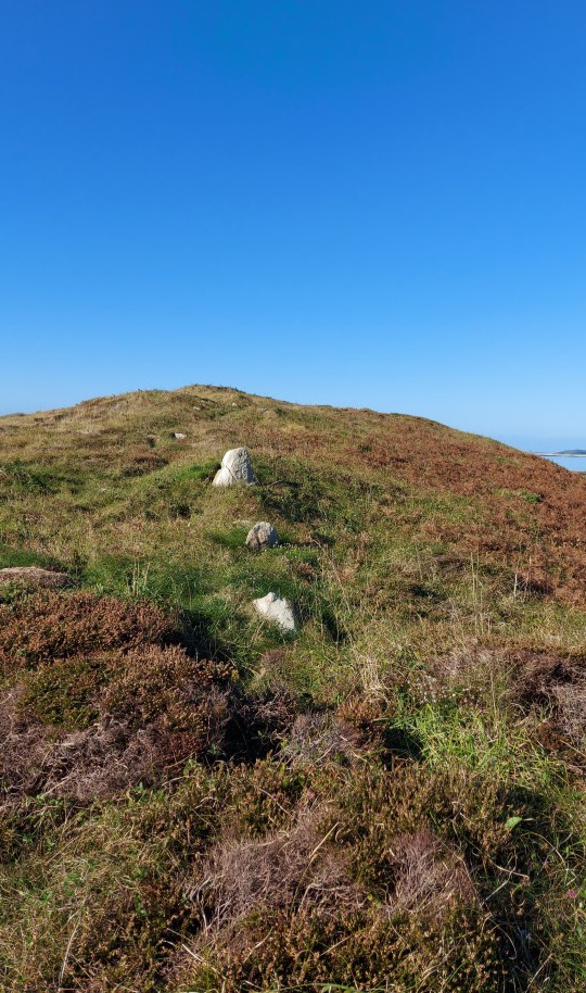
The HER 7222 entry suggests the graves are linked on the summit by a wall of the field system. There is banking and the system has orthostats spaced 1 – 3 meters apart. Central to these is a slab of stone which stands 0.75m in height. This stone can be seen from large distances away and is a prominent hilltop feature. This prehistoric wall forms the edge of a field system which extends down the hill. The HER record suggests that the ‘clearly visible orthostats are due to the lack of superficial lynchetting’. This in turn raises the question could the orthostats have been deliberately left as a prominent feature. and what if this summit row of stones has a dual purpose and acts not only as the highest extent to the field system but is also an interconnecting stone row between the passage graves and cairns? This would be in keeping with the stone rows which run between the passage graves on Kitten Hill, Gugh. If so it would make a fascinating addition to what is already an incredible ritual landscape.
Well worth the effort getting there.
Jeannette Ratcliffe in 'Scilly's Archaeological Heritage' (Twelveheads Press, 1995) gives the following information "On the summit of this hill, built against an outcrop, is a flat-topped cairn surrounded by ten kerbstones housing a rectangular chamber, whose walls protrude just above ground level. No capstones survive. To the south, an oval area enclosed by a low stone and earth wall is either a ring cairn or round house, with a possible entrance on its south side. At the hill's south-western end, a cairn, defined by a kerb of massive slabs (now mostly fallen) and natural rocks, contains a chamber, with slab and coursed walling, partly destroyed on the south-east side. These are two displaced capstones."

 Posted by pure joy