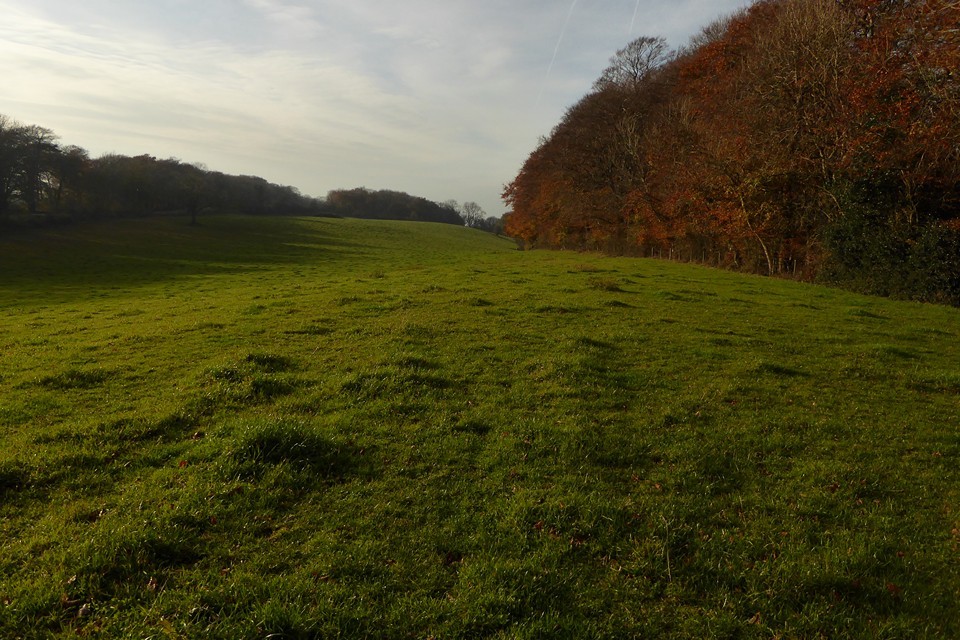
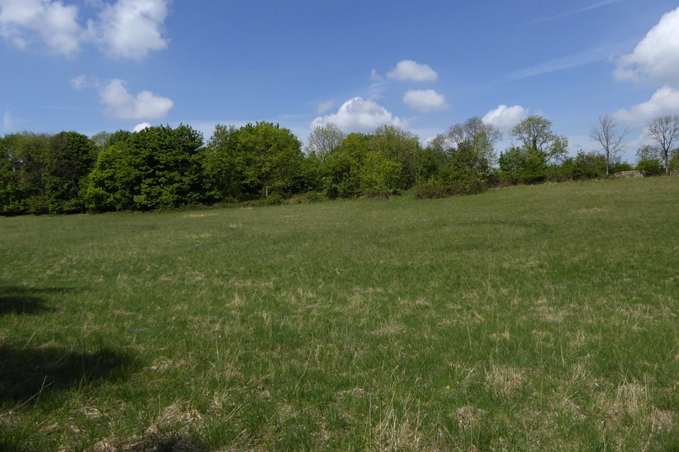
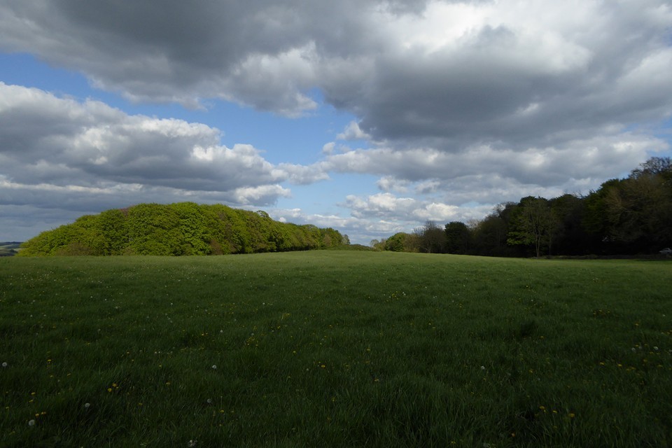
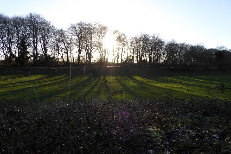
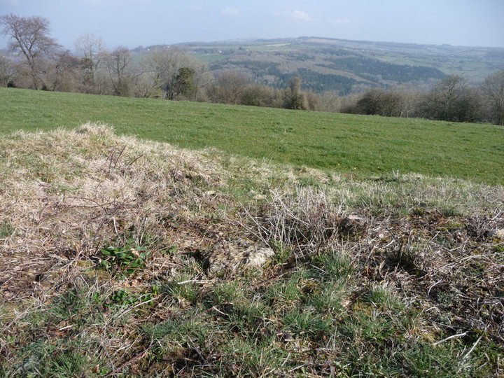
Reaching a field at the edge of the wood, the worst of the climb over, I leave the Cotswold Way route along another footpath, heading southwest. From here the view opens up beautifully to the north, where Cleeve Hill fills the skyline, with Cheltenham spread out below to the northwest. The reason for my temporary diversion lies just over the crest ahead of me, in the next field.
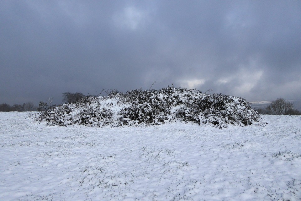
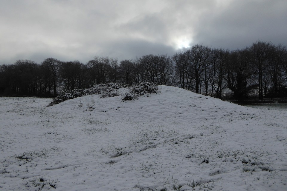
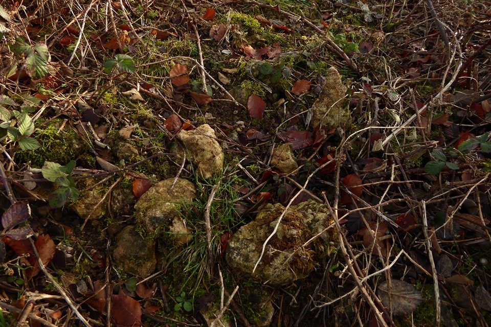
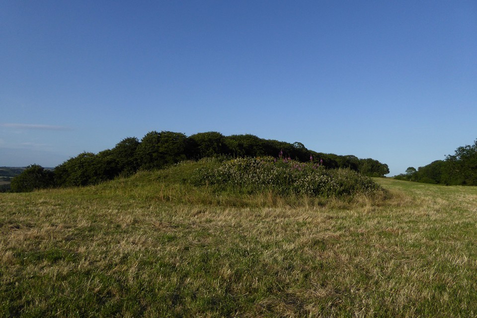
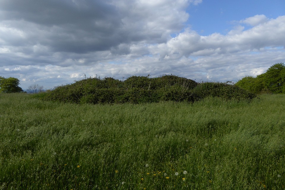
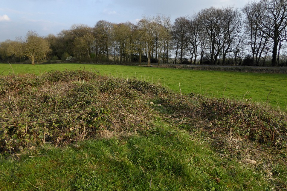
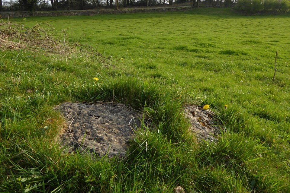
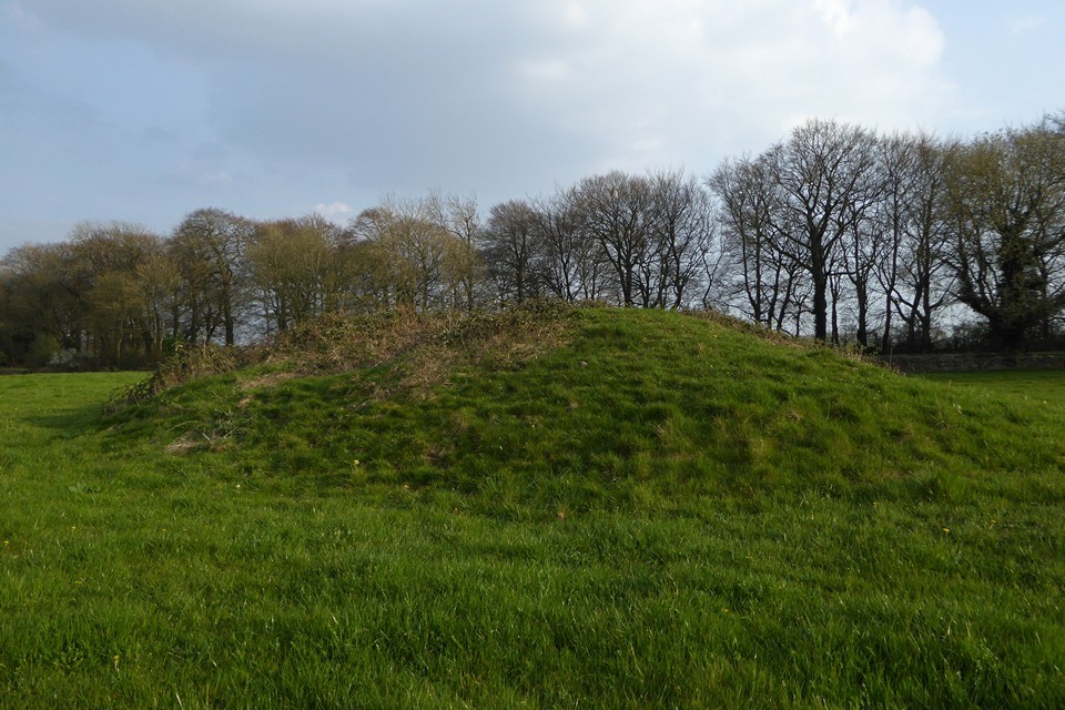
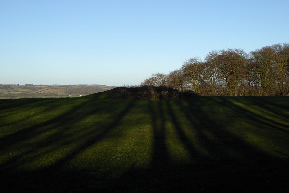
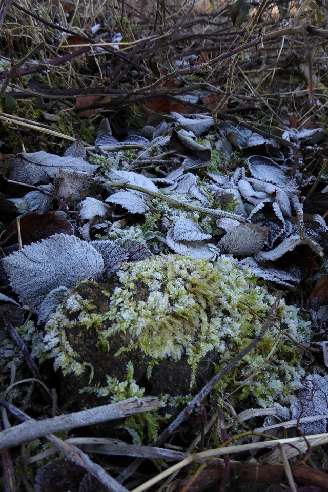
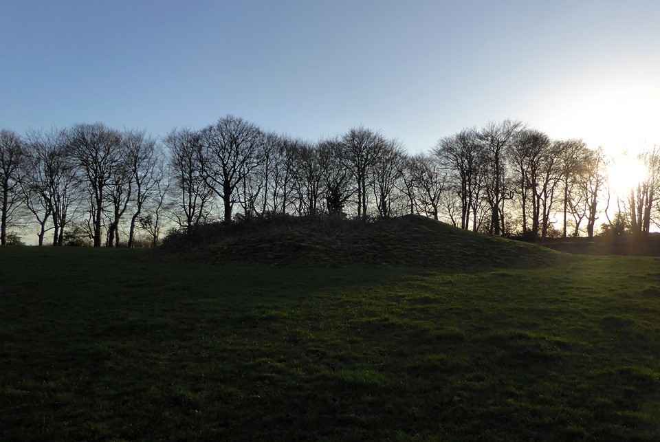
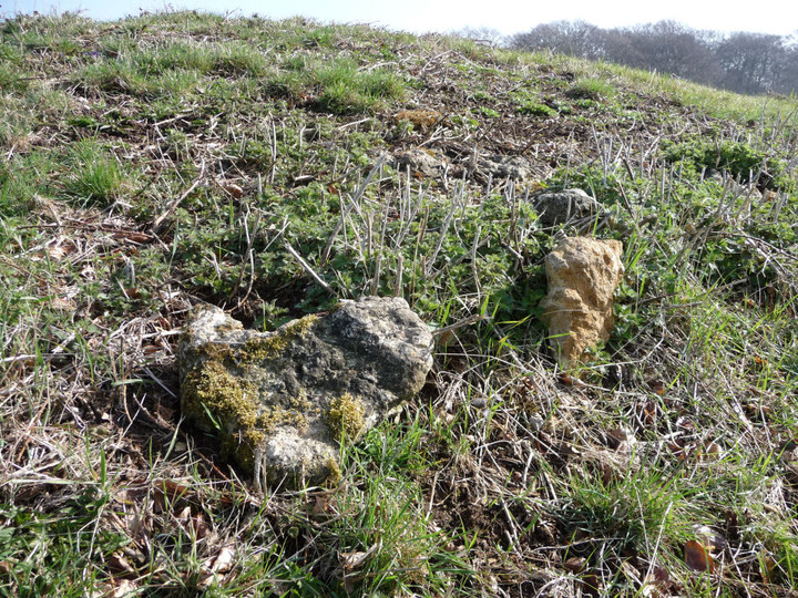
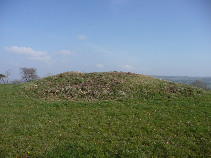
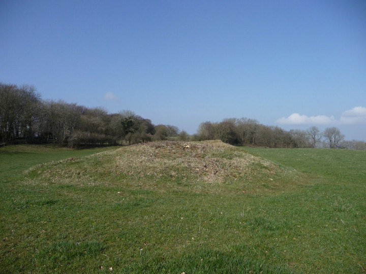
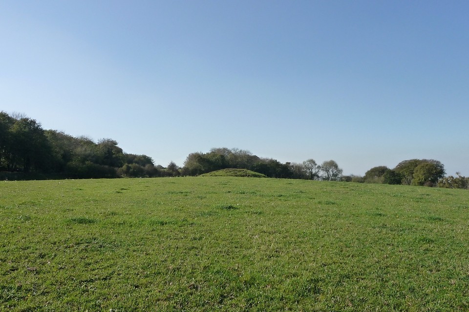
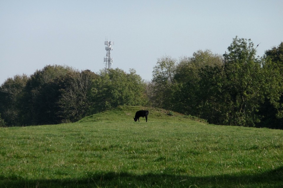
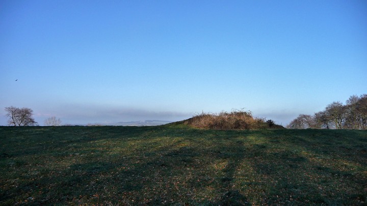
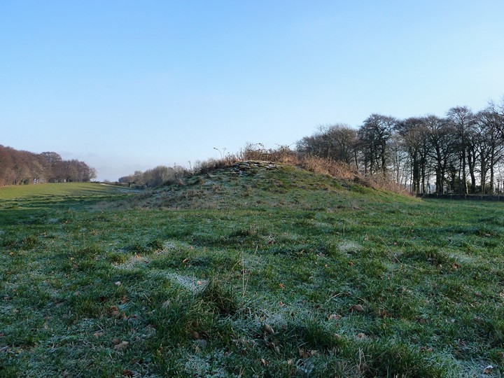
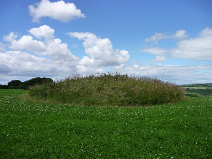
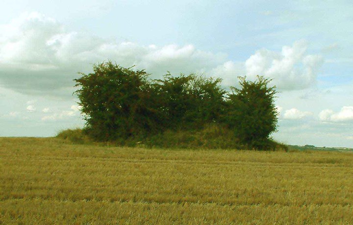
Lineover long barrow has suffered greatly over the years. Now resembling an elongated round barrow, there is little to paint an obvious family resemblance to its near neighbours at Belas Knap or Crippetts. But pause a little longer – the positioning gives away its undoubted blood ties, perched below the highest point of the hill, but enjoying extensive views over the edge of the escarpment. Typical Cotswold-Severn long barrow location in fact. I’ve not been here for about 18 months, the grass is cropped shorter than on my previous visits. The barrow still stands to a height of over a metre and various large pieces of limestone can be seen resting here and there on the mound. There is no livestock in the field today, although the hardened prints around the field edge indicate that cows are still the usual occupants. The only real detraction from a visit remains the horribly busy A436, where I doubt many of the drivers ever notice the long barrow they pass in an eye-blink. The inevitable crump of shotguns can also be heard, far off. Still a worthwhile stop-off, an old friend to revisit, renew acquaintances and share some time together.
Visited 17.7.10.
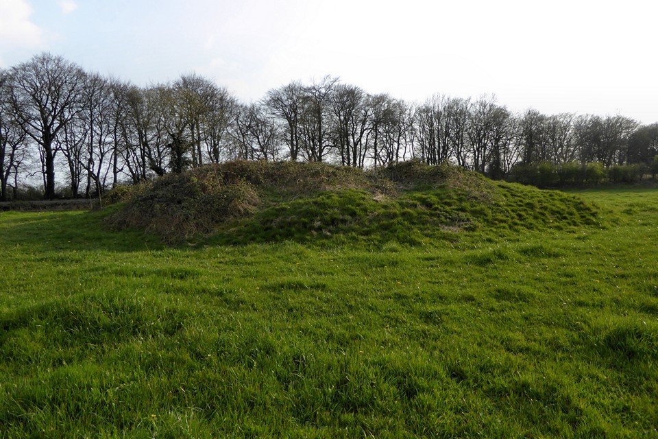
Although no public access to the barrow it is easily seen from the A436. The trees have now been cut down and the barrow is clearly visible rising above the field. Not very big but still a reasonable height – covered in long grass and shrubs.
First trip out of the new year, the ground frozen hard (which luckily meant most of the mud on the paths was frozen hard too). Seen in the winter, a large excavation trench crosses the back of the barrow. There are great views, across to Cleeve Cloud, but the setting is spoilt by the busy A436 running right next to the field.
From here, across a few fields to the south-east, lies St Paul's Epistle.
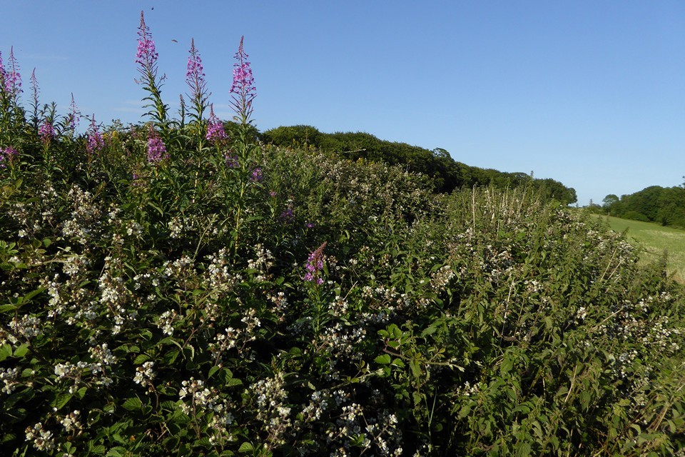
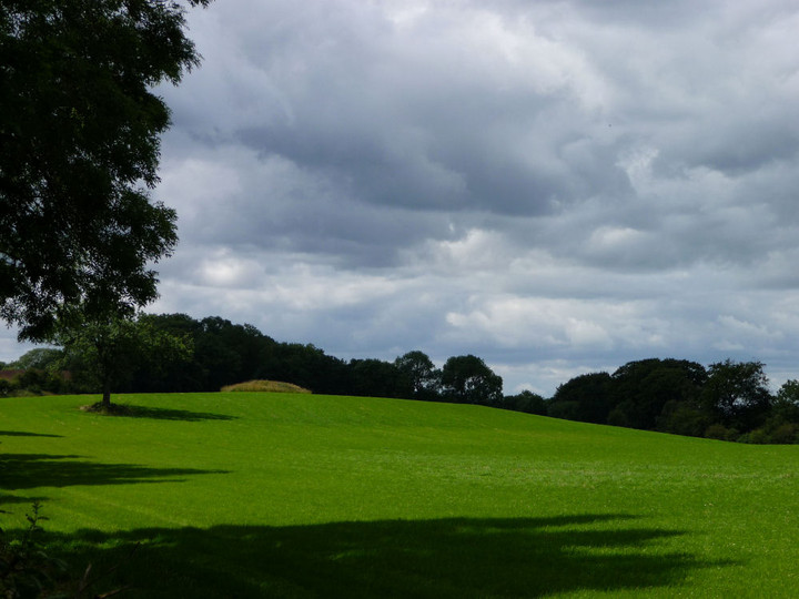
Visited on a sunny July day (20.7.2008), walking from Cheltenham through Charlton Kings/Little Herberts, joining the Cotswold Way for a while and approaching through Lineover Woods. The woods are a lovely spot, very quiet and there were signs of restoration of one of the old drystone boundary walls running through the wood, which was great to see. Coming out of the wood I went slightly wrong, first of all going into a small triangular field covered in wild flowers. However I soon found the grass field containing the barrow (at the time of visit grass-covered, with some weeds). The barrow has a good setting, with views to the north and east over the edge of the Cotswolds. Unfortunately the barrow itself is very reduced in size and hard to imagine as a Belas Knap style long barrow. One note for visitors coming by road - the current OS 1:25000 (Explorer) shows another field adjoining the eastern side of the one containing the barrow (with a "Mound" marked in it). This field and the barrow field are now a single field and the footpath entrance/exit onto the road to the SE of the barrow is actually in this same field (a very dilapidated and narrow gate).
(SO 99231857) Long Barrow (NR) (Remains of) A long barrow, the original length of which was probably 140-150 feet (2). It is orientated E-W, and now measures 100ft long by 48ft wide by 6ft high. The west part has been reduced by ploughing to a low 'tail', and there is a large hollow in the centre of the east part (3). (2-4)
SO 99221856 The existing feature is a mound 16m E-W, 12m N-S and 1.8m high. A slight swelling presumably indicative of the original extent is just perceptible. Published 1:2500 survey revised. (5)
A rapid examination of air photography (6a) shows the mound of the barrow although the 'tail' is not apparent. (6)
The long barrow referred to above is visible as an earthwork on aerial photographs and has been mapped as part of the Cotswolds Hills NMP survey. The barrow is as described above (2-5) with a slight 'tail' just visible to the west. The barrow measures about 28.7m long and about 12m in width. (7)


 Posted by thesweetcheat
 Posted by Chance