|
|

|
|
Hird Wood CircleStone Circle
|
||||||||||||||||||||||||
|
|
|
Images (click to view fullsize) |
|
Photographs: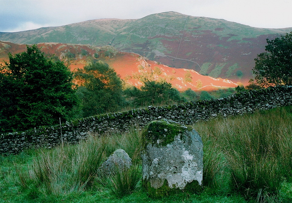
 Maps / Plans / Diagrams:
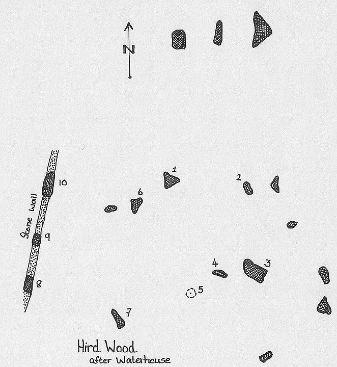
|
Fieldnotes |
|
|
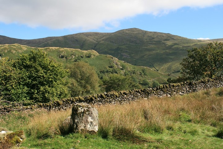
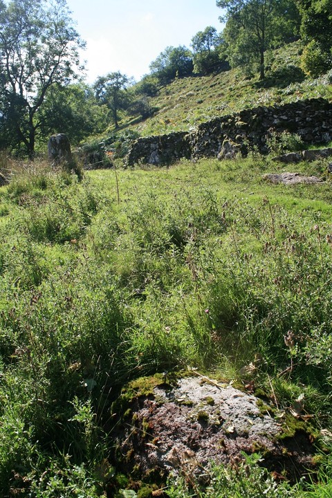
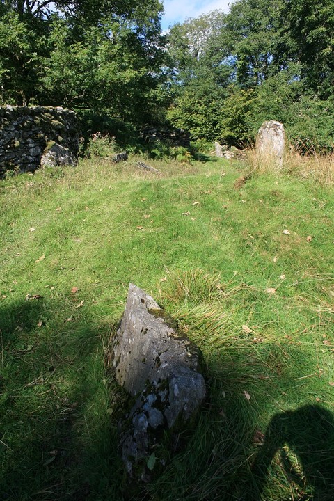
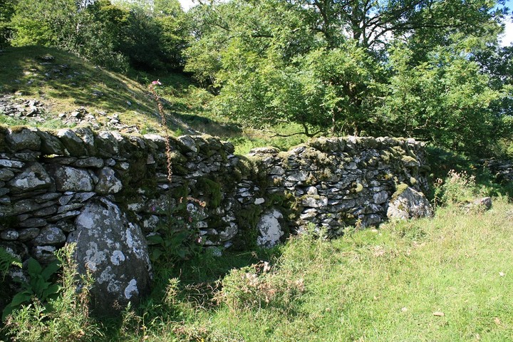
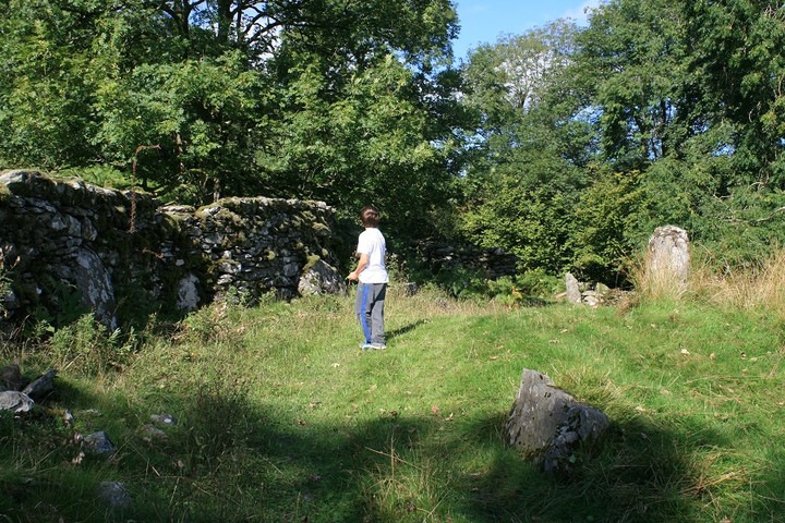
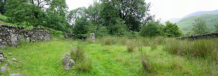
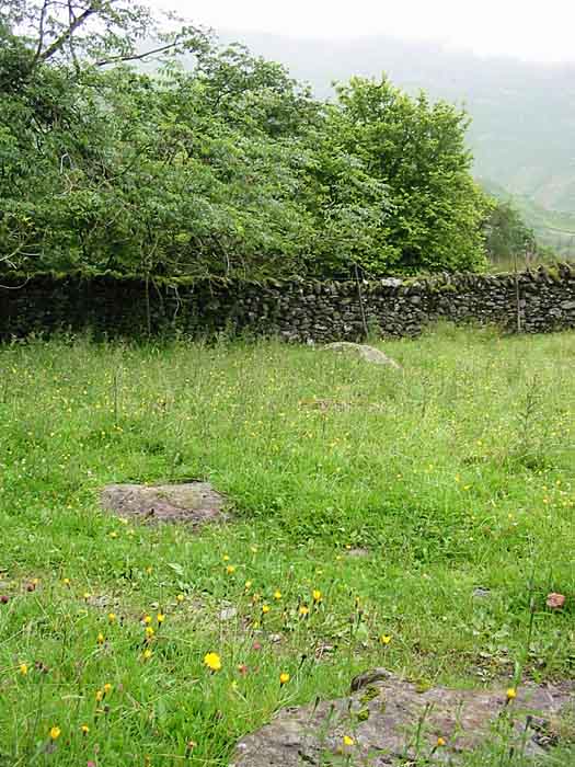
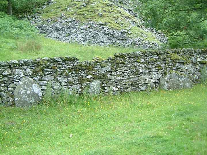
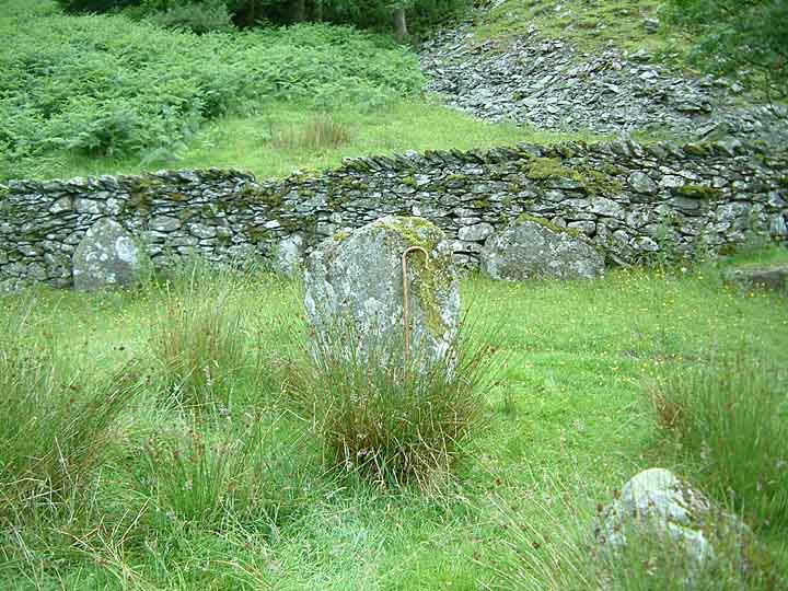
I have to admit that it took me a while to find this place, having not read up on any previous fieldnotes, and with the stone circle not marked on any map, there was always going to be a certain amount of guesswork. There isn't even much in the way of landmarks around either, that is why I passed it by. I had to keep on going south until I reached the Ambleside turnoff at Town Head, turn round and slowly retrace the road back up the hill. Counting coppices, streams, and looking out for the footpath that loops down and round to the stones. Eventually I got to the parking place suggested by Carl, parked up crossed the road went through the gate and trundled off down the bridleway. Less than ten minutes later I spied a standing stone coming up ahead. Bingo !!! The sun had come out so I took my cardy off, and put it on the wall, then realised the mistake I'd made, my camera was still in the car. So I set off back up the path to the road, half way there it dawned on me that my brain must be turning to mush as my car keys were in the cardy on the wall. Back to the stones up to the car and back again to the stones. It's hard work this old stoning lark sometimes. The siting of this stone circle is strange and beautiful, situated on a steep slope, far above Trout beck and down hill from the road, it is, I felt, a weird place for a stone circle. But it is in a very pretty place, moss covered old walls, the breeze gently brushing through the trees, and the mountains across the valley all add up to a truly captivating site. The only thing that let it down was the wreck of the stone circle itself . Four stones are still upstanding, one on it's own and on the other side of the track are the three low stones set into the old wall. But I could detect with not much certainty other fallen stones, being consumed by the hardy grasses and stone hiding mosses. We freed them from their slumber. But the site still remained stubbornly confusing, so confusing that I had no idea that it was a concentric circle like the druids circle above Ulveston. By the time we left I thought I'd got a handle on the site until I got home read up on the other notes and appreciated the place a new. I must return, perhaps in winter but before the snow comes. |
 Posted by postman
24th September 2013ce Edited 24th September 2013ce |
|
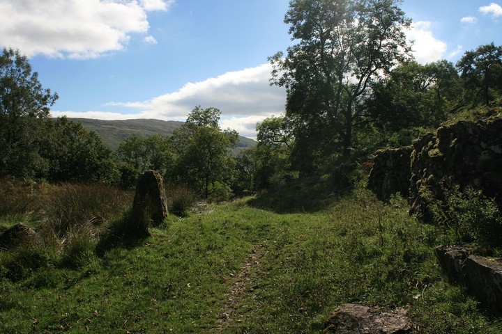
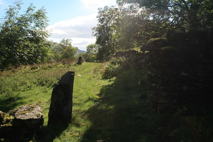
Visited 24.7.13 Directions: Heading north along the A592 (near Ambleside) you pass through Troutbeck. Keep an eye out for a rough track way on your right and a small lay-by directly opposite – park here. Follow the track way (as such it is) downhill keeping the stone wall to your left. You pass through some trees and cross a small stream. Keep going a little further and you will go through an old stone doorway of a ruined building. Right in front of you will be the remains of the stone circle. Without doubt this was the best site I visited today – fab! Yes the circle is ruined (with a track running through it – what was all that about?) but enough of it remains to give an idea of how it would have looked in its prime. The ‘entrance’ formed by the old moss covered stones of the doorway only adds to the experience. 5 stones remain from the inner circle and further 3 from the outer ring – embedded into a wall. There are lots of other large stones scattered about. I have no idea if any of these are from the circle or not. The sun was shining and the light dappled through the trees. If it wasn’t for the trees there would be great views up the valley. If the stone circle was complete I would rate the site as highly as the circle at Swineside/Sunkenkirk – the location really is that good. I thoroughly enjoyed my visit here (exceeding expectations) and I would heartily encourage those who are able to do so to also visit. |
Posted by CARL 7th August 2013ce |
|
NY41640 05884. This is a great double circle. Although it's been battered, enough remains to get a feel for what the stone circle might've looked when un-disturbed. Unlike the RMS entry we thought there are perhaps 6-9 stones left in the outer-circle, only 3 now built into a wall remain upright. The other possible stones are now fallen and are at ground level. The inner circle stands on a large mound (well large for the circles 20m outer diameter), and has 3 remaining stones. Excellent views to the east out over the Tongue to the high ridge that includes Forswick, Ill Bell and Yoke. Whilst to the north Threshthwaite Mouth. There's room to pull off the road that heads through Troutbeck and then Town Head, at NY414 062, bang opposite the 'bridleway' you need to take. Follow it down for 0.25miles to an old slate quarry, the track passes through the actual circle. |
15th July 2004ce Edited 18th July 2004ce |