Remarkable ancient structure found just two miles from Stonehenge
Remarkable new archaeological discoveries are beginning to suggest that Stonehenge was built at a time of particularly intense religious and political rivalry... continues...
Stonehenge researchers 'may have found largest prehistoric site'
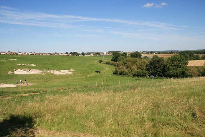
Standing stones found buried near Stonehenge could be the "largest" intact prehistoric monument ever built in Britain, archaeologists believe.
Using ground-penetrating radar, some 100 stones were found at the Durrington Walls "superhenge", a later bank built close to Stonehenge... continues...
Where: Avon Fields: Former MoD Headquarters
Netheravon Road
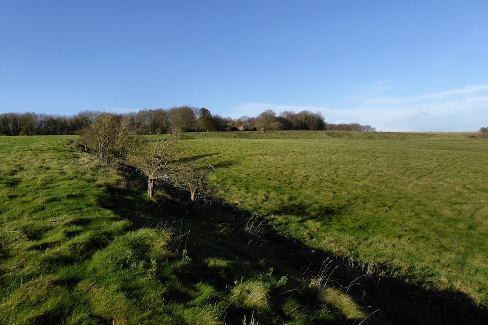
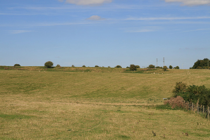
Durrington
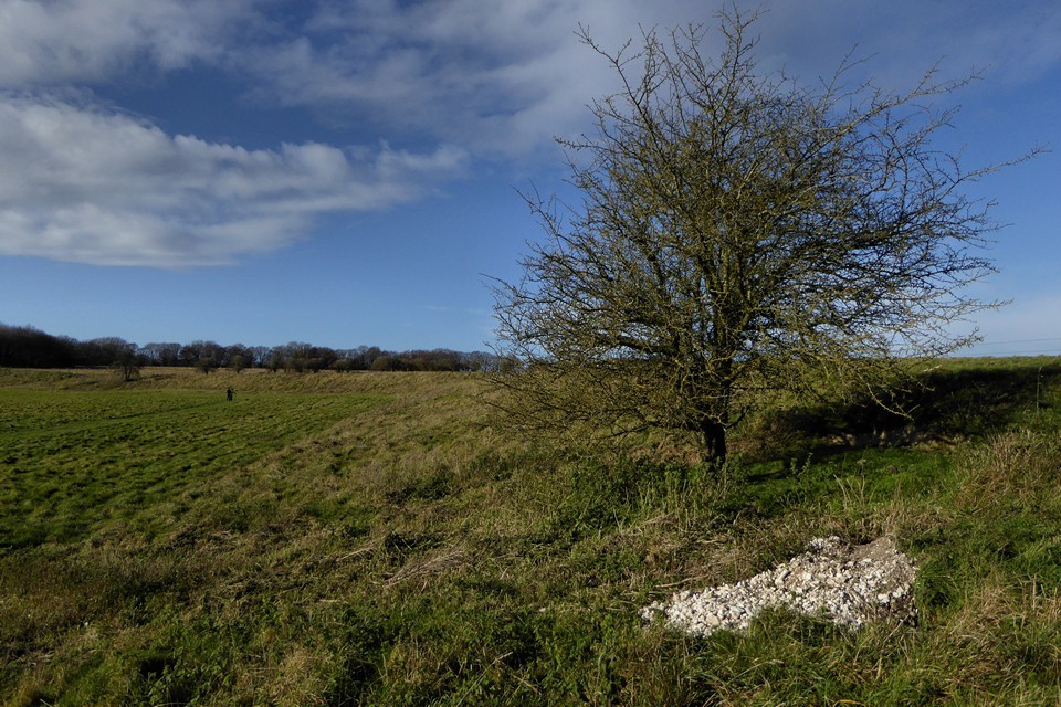
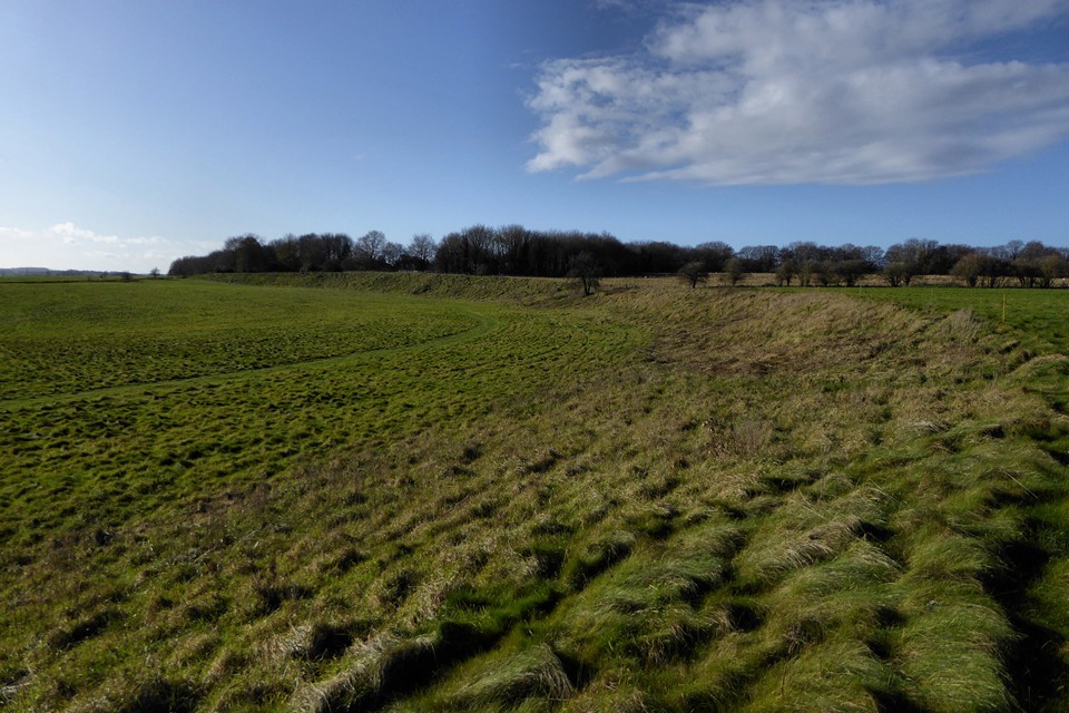
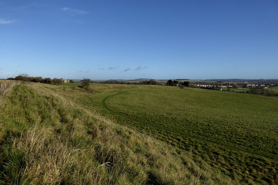
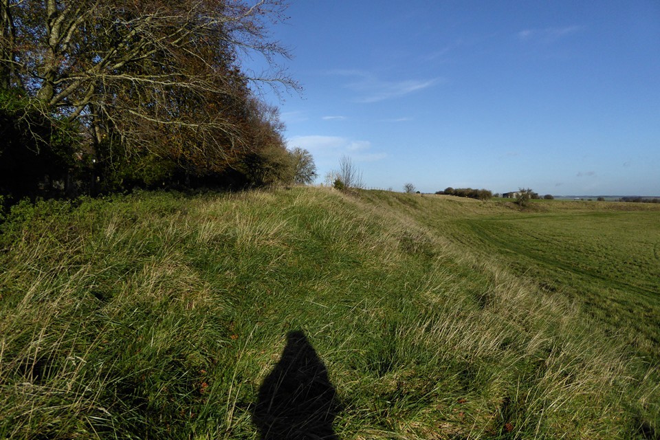
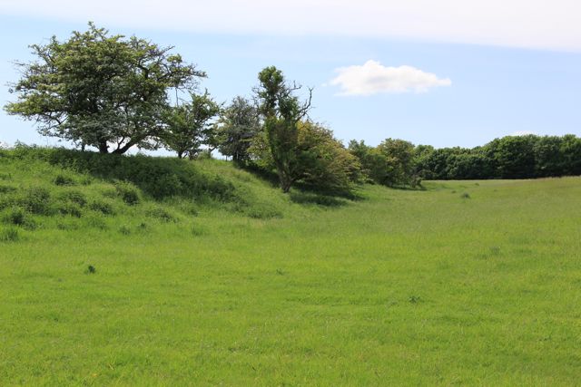
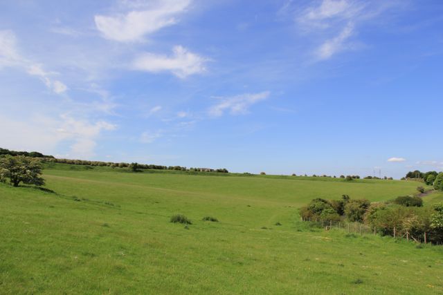
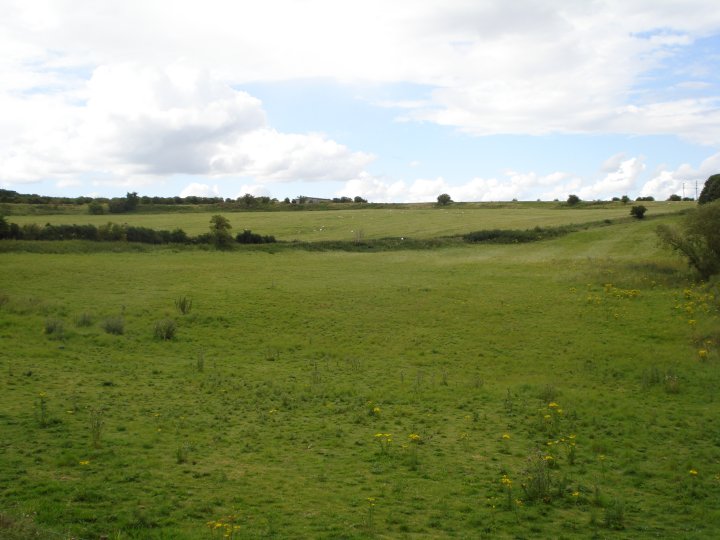
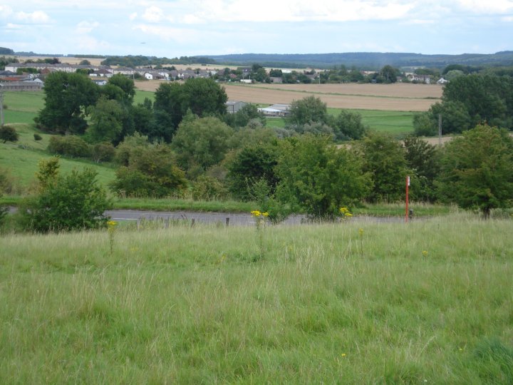
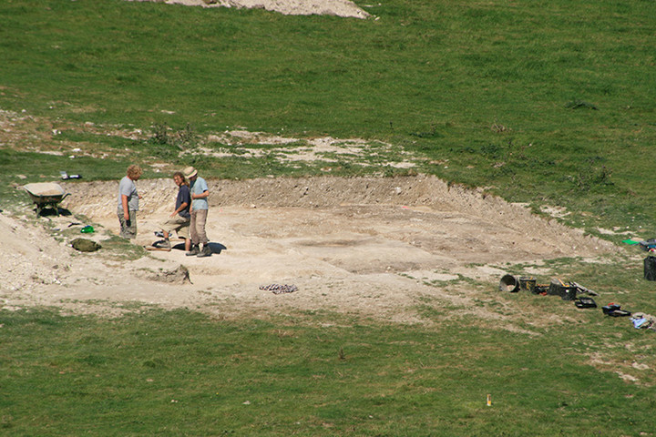
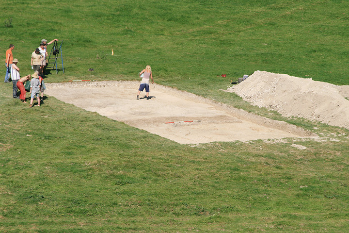
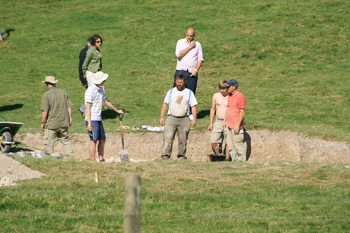
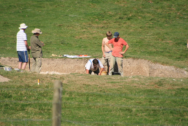
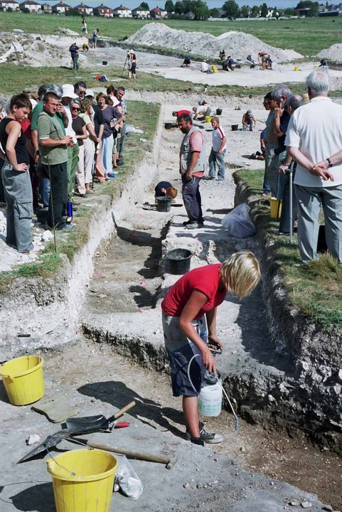
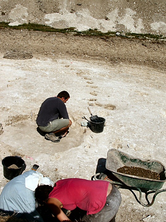
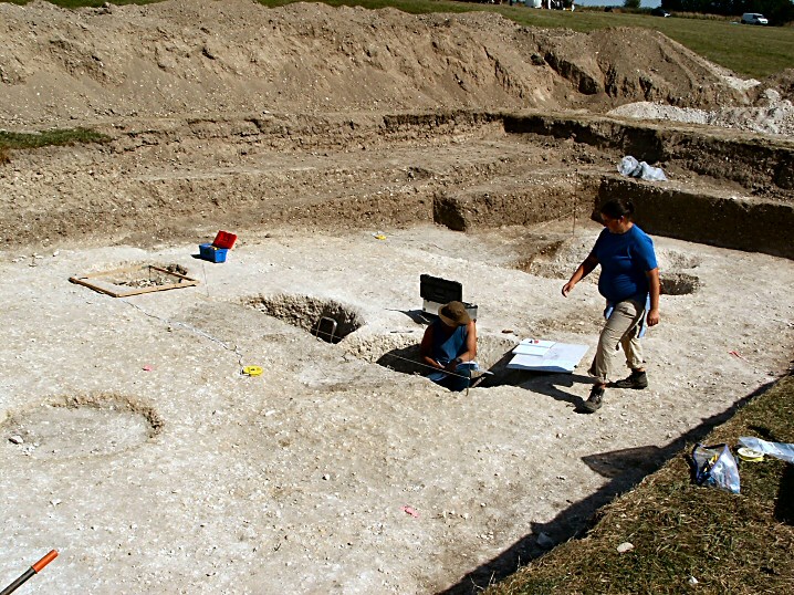
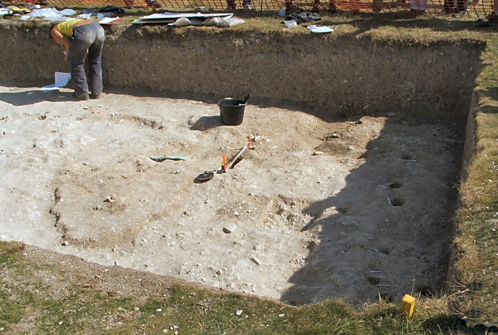
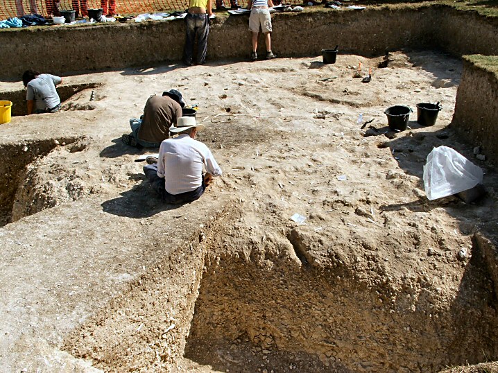
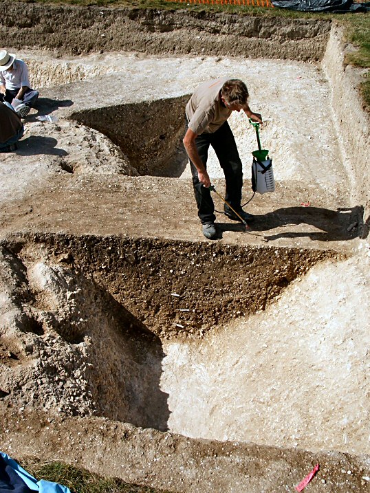
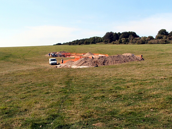
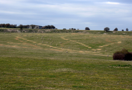
The village of Durrington is well known for its early archaeological heritage, including the largest Neolithic henge in Britain at Durrington Walls and nearby Woodhenge, both over 4500 ... continues...
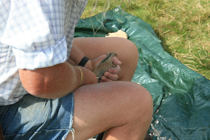
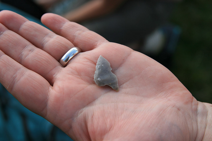
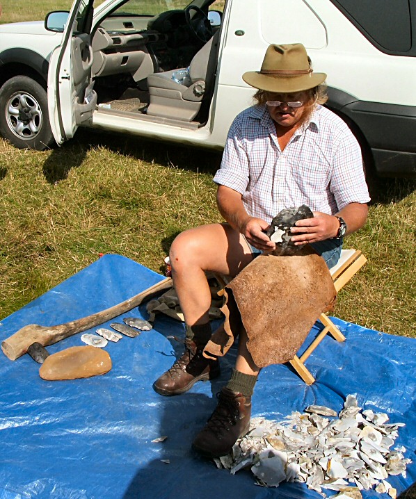
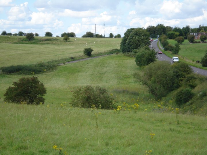
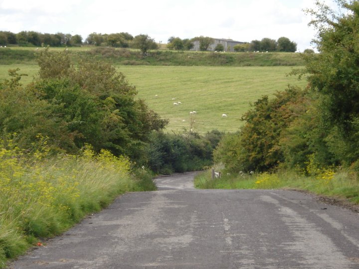
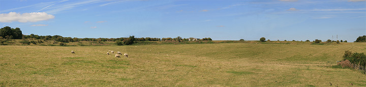
I viewed this site when visiting Woodhenge. The remaining banks to be seen indicate the circumfrance was massive and this must have been an amazing place to see when it was at the height of its glory. Definitely worth a look when visiting Woodhenge.

 Posted by moss
 Posted by goffik
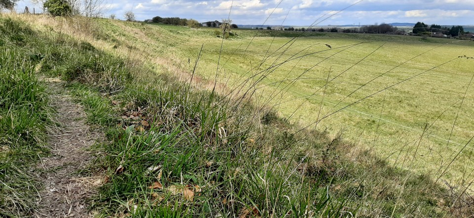
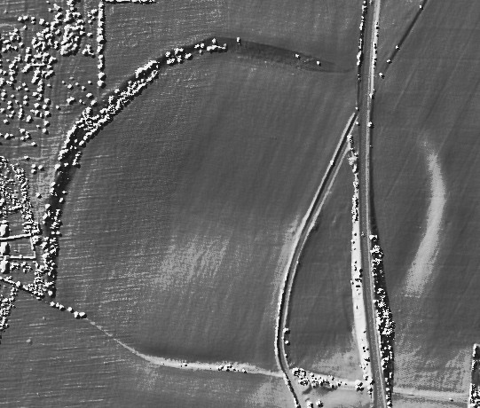

 Maps / Plans / Diagrams:
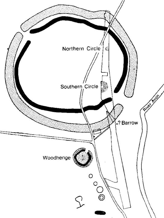 Artistic / Interpretive: