An Iron Age settlement overlain by probable Roman earthworks but a Mesolithic quartzite pebble was found here showing that the site has had a very long history.
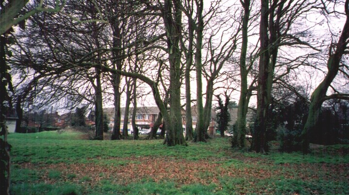
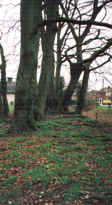
Unlike Chilworth this modest little square earthwork was not built upon when this suburb of Winchester was extended from the 1950s onwards. Disabled: Parking at shops opposite. Pavement on three sides, very small and shallow ditch.
The name comes from the belief that Cromwell sited his guns here during the Civil War to bombard Winchester Castle. In reality it's much too far away to have been used for this purpose as the Castle is about 2 miles distant.
The locals call the area "Ollie B"
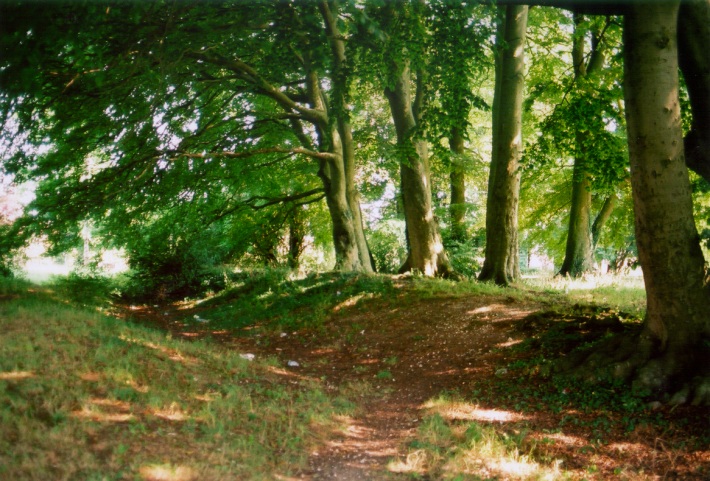
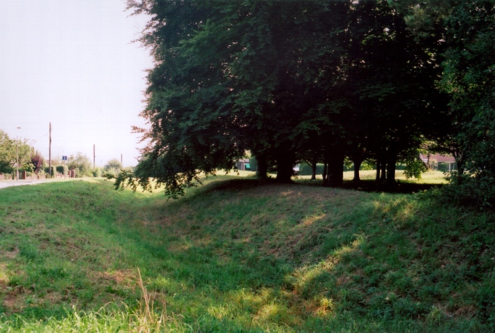
An Iron Age enclosure later reused as a Civil War battery, situated on the crest of a ridge circa 2.5 kilometres south west of Winchester. The sub-rectanhular earthwork has maximum internal dimensions of 75 metres by 66 metres. A bank extends around the western, northern and eastern sides of the earthwork, but is poorly preserved or absent along the southern side. A bank and ditch which formerly extended extended south eastwards from the south west corner of the site have been destroyed by modern building. Excavation of the bank and ditch occured in the 1930s. The evidence from this excavation has been interpreted as suggesting that the earthwork was constructed in the Iron Age but that it did not remain long in use. However, additional investigations have also attributed the earthworks to the Roman period. A single Anglo-Saxon inhumation burial was also found during the excavation, (SU 42 NE 25), the grave cut into the bank at the north east corner of the site. Grave goods, including a silver- pommell scramasax, an iron spearhead and a bronze hanging bowl, were found accompanying the burial. Reuse of the earthwork is thought to have occured during the Civil War. Cromwell is known to have had two batteries outside Winchester during the siege of the city in 1645, one to the north and one to the west, and it has been suggested that this was the site of the western battery. The site was also used to quarter allied troops during the Napoleonic and First World Wars. Scheduled.

 Posted by jimit
 Posted by Chance