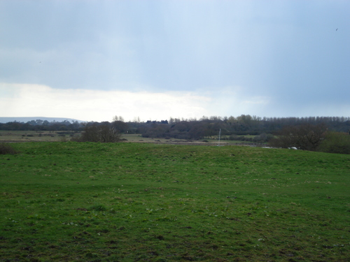
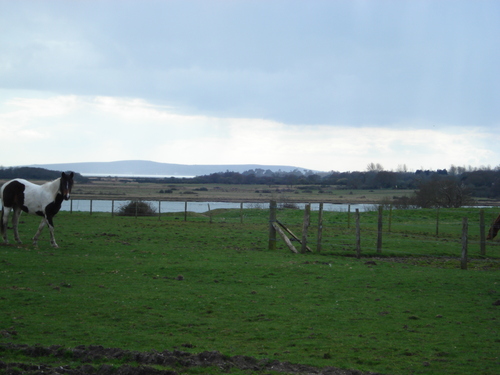
Exebury is a promontory fort defended on the West by
the River Beaulieu and on the East by a bank and outer ditch. Access to this sit is limited as it is on private property occupied by ponies. You can see the outer earthworks from the lane leading to the farmhouse and to the eastern end you can see the edge of a second bank suggesting that there were two banks and a ditch originally but part of this could be medieval. Nice spot overlooking the river Beaulieu and the Solent.
A rare example of a fort on a river estuary, in a great position where the River Beaulieu kinks sharply. Officially the period is unknown but it is suspected to be Iron Age. The excellent ‘Hampshire Treasures’ resource gives the following information – “Defended on the west by the River Beaulieu and on east by a bank and outer ditch. O.S.A. No. SZ49 NW3. Ref: Ancient Earthworks in the New Forest, 1917, (Sumner), p.119.”

 Posted by pure joy