The Modern Antiquarian
Log in
|
Register
Home
Latest Posts
Forums
Maps
Help
Browse Sites
News
Blog
Contributors
The Books
Select
-
Belgium
Denmark
Eire
France
Germany
Greece
Italy
The Netherlands
Norway
Portugal
Republic of Malta
Spain
Sweden
Switzerland
United Kingdom
County Mayo
Achill Island
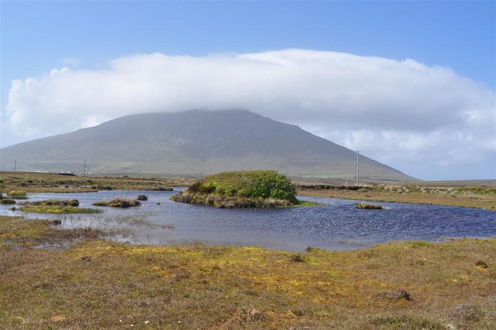
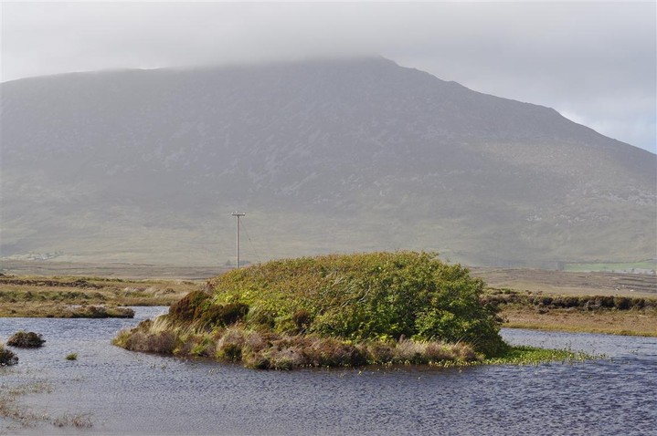
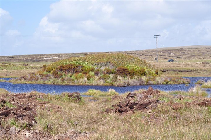
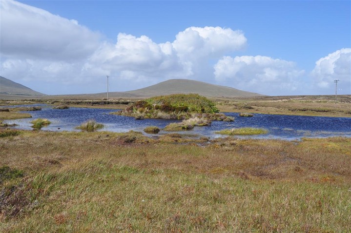
Loughannascaddy
Crannog
Loughannascaddy (Crannog) on The Modern Antiquarian, the UK & Ireland's most popular megalithic community website. 4 images, plus information on many more ancient sites nearby and across the UK & Ireland.
Image © Charles Coughlan
Nearest Town:
Doagh (7km WSW)
OS Ref (IE):
F673054 /
Sheets: 22, 30
Latitude:
53° 58' 50.73" N
Longitude:
10° 1' 22.83" W
Added by
FourWinds
Images (4)
0 discussions
Start a topic
Show |
Hide
Web searches for Loughannascaddy
Flickr
Google
Google Images
The Megalithic Portal
Bing
Stone Pages
Wikipedia
Show map
(inline Google Map)
- Sites within 20 km -
-
Keel East (Lower) (2.39km WNW) (13 posts)
Doogort West (2.82km WNW) (10 posts)
Keel East (Slievemore) (3.11km WNW) (22 posts)
Keel East (3.37km W) (6 posts)
Slievemore (7.4km W) (5 posts)
Clochan Mor (8.25km W) (4 posts)
Sruffaunnahaltia (10.77km SE) (0 posts)
Cloghmore (12.31km SE) (0 posts)
Drumcollagh (12.46km E) (11 posts)
Castlehill N (12.51km ENE) (6 posts)
Castlehill S (12.59km ENE) (5 posts)
- Add -
-
Add news
Add an image
Add fieldnotes
Add folklore
Add miscellaneous
Add a link
-
Add a site
Add a nearby facility
Add an alternative name/spelling
Images
(click to view fullsize)
Add an image
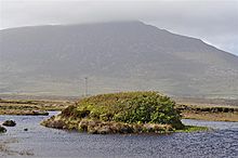 Image © Charles Coughlan