The Modern Antiquarian. Stone Circles, Ancient Sites, Neolithic Monuments, Ancient Monuments, Prehistoric Sites, Megalithic MysteriesThe Modern Antiquarian


Keel East (Lower)

Court Tomb

<b>Keel East (Lower)</b>Posted by bogman
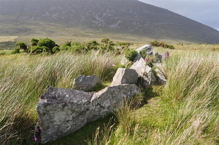
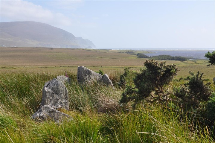
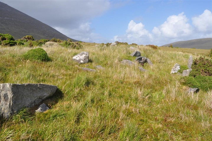
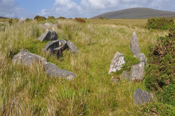
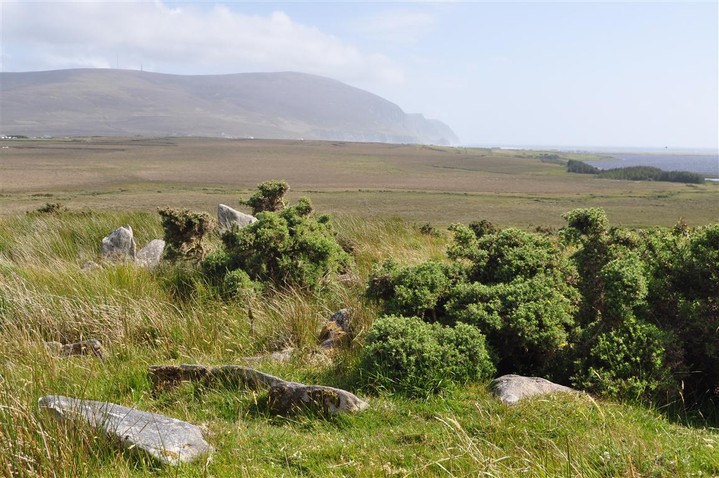
Image © Charles Coughlan
Also known as:
  • Bal of Dookinelly

Nearest Town:Doagh (5km SW)
OS Ref (IE):   F6551407003 / Sheets: 22, 30
Latitude:53° 59' 40.89" N
Longitude:   10° 3' 3.33" W

Added by FourWinds


Discussion Topics0 discussions
Start a topic


Show  |  Hide
Web searches for Keel East (Lower)
Show map   (inline Google Map)

Images (click to view fullsize)

Add an image Add an image
<b>Keel East (Lower)</b>Posted by bogman <b>Keel East (Lower)</b>Posted by bogman <b>Keel East (Lower)</b>Posted by bogman <b>Keel East (Lower)</b>Posted by bogman <b>Keel East (Lower)</b>Posted by bogman <b>Keel East (Lower)</b>Posted by bogman <b>Keel East (Lower)</b>Posted by bogman <b>Keel East (Lower)</b>Posted by bogman <b>Keel East (Lower)</b>Posted by bogman <b>Keel East (Lower)</b>Posted by bawn79 <b>Keel East (Lower)</b>Posted by bawn79

Fieldnotes

Add fieldnotes Add fieldnotes
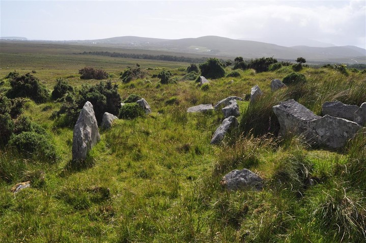
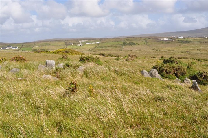
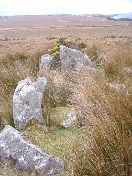
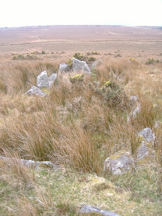
The first photo is looking south and then the second photo is where the tomb turns almost to a 45 degree angle.
This can be seen from Fourwinds postcard in the misc section.
bawn79 Posted by bawn79
13th April 2007ce
Edited 13th April 2007ce

Miscellaneous

Add miscellaneous Add miscellaneous
http://www.megalithomania.com/show/image/4449

To get an idea of how this used to look, when I looked at this post-card I could immediately understand the rather unusual layout.
bawn79 Posted by bawn79
13th April 2007ce