One of Somerville's five stone circles of West Cork (JCHAS 35, 1930; 79), Maulatanvally can suffer when placed in comparison with its more intact brethren. Lacking the more monumental construction and solar event alignments of Drombeg and Bohonagh, the beauty and seclusion of Reenascreena and the mystery of the lost world at Carrigagrenane SW, it could almost be the odd child of large local sites.
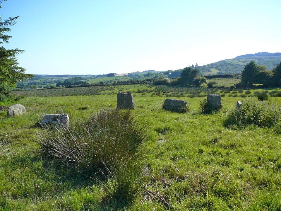
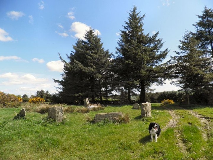
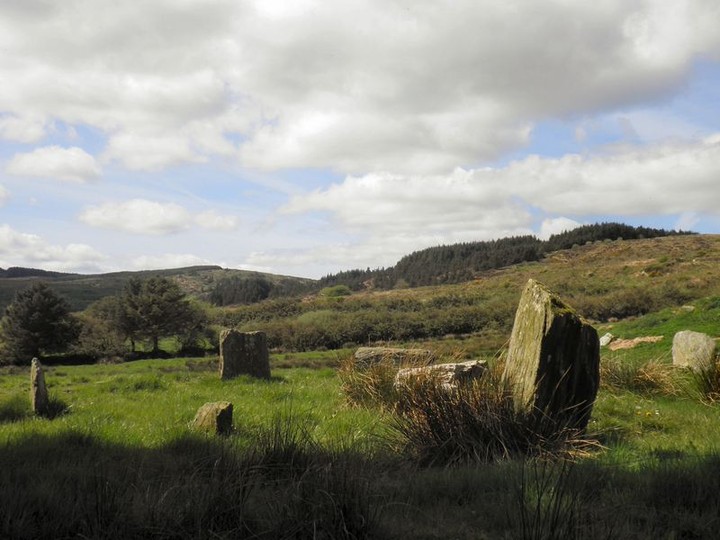
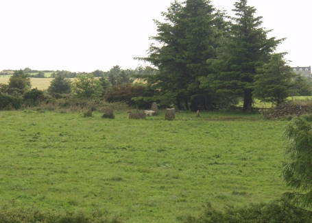
Situated on a platform, with the ground falling swiftly to the south and west, the circle is pushed fairly tightly against the eastern field boundary. The gap and deeply rutted track from the next field are right beside it and just on the rise to the north is a chicken factory. After the drop to the west the ground rises steeply again, over the Dunmanway-Rosscarbery road, to reach a hill summit that gives the townland its name. Beyond this lies the omnipresent Carrigfadda.
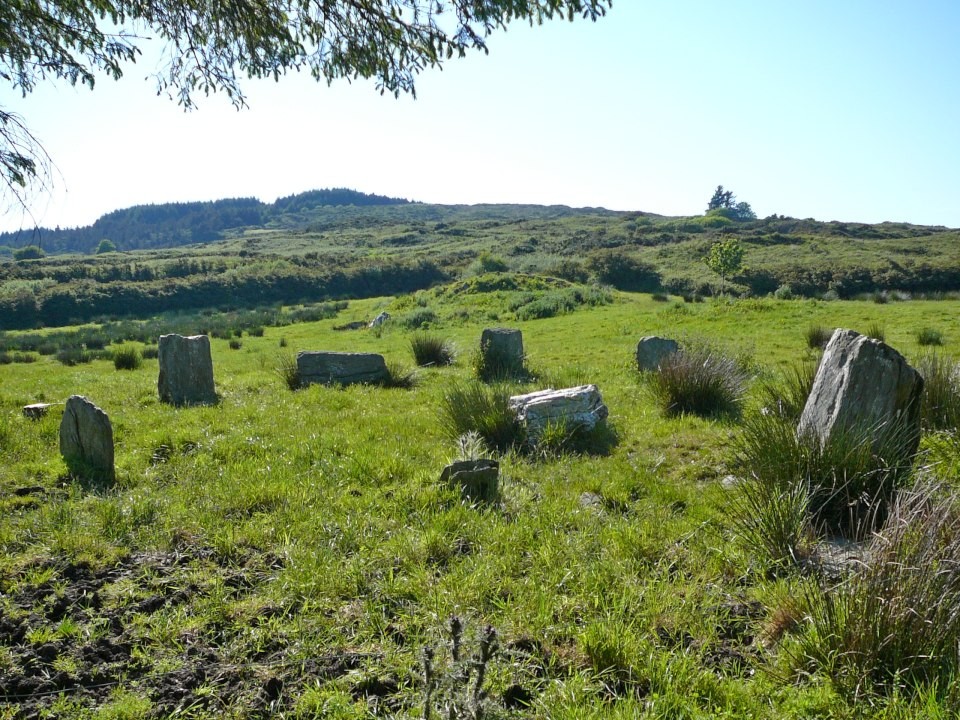
The rise of ground to the west pulls an axial azimuth of 256.5 back to a declination of -5.4 (Ruggles, Astronomy in Prehistoric Britain and Ireland, 1999; 217), offering no obvious solar or lunar event to a modern observer. What might be significant however is its direct line to the peak on the northern section of Carrigfadda, the imposing centre of the source forks of the Argideen river, a flow whose silver is mirrored in the quartz components of many of these monuments.
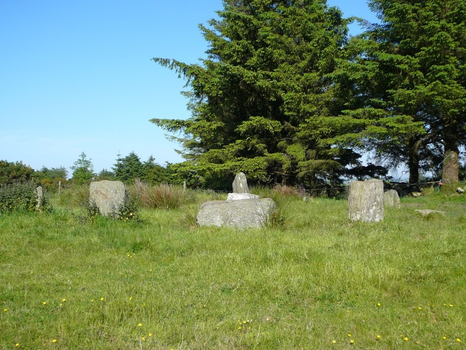
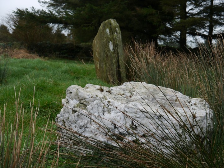
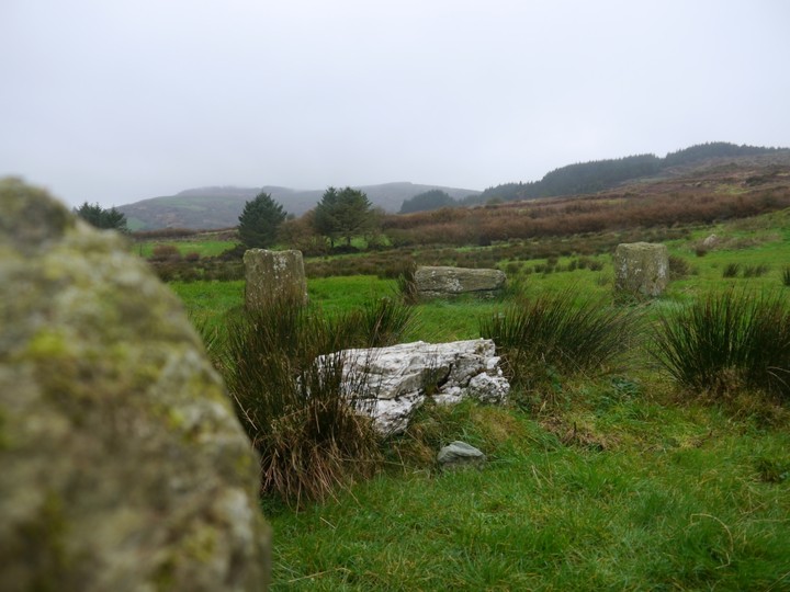
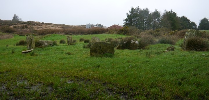
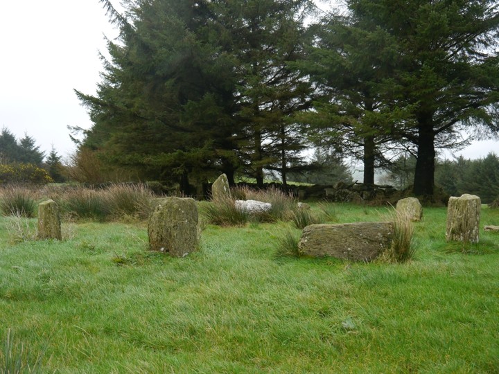
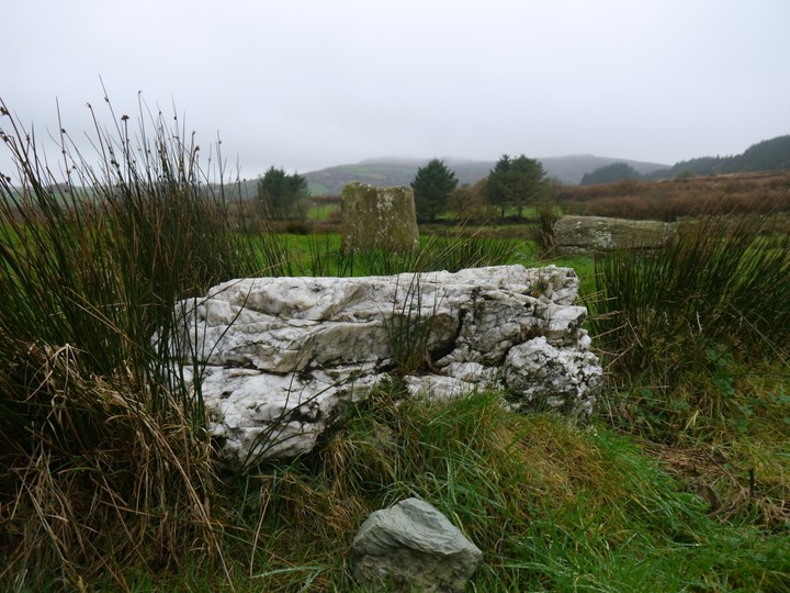
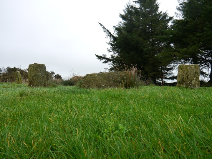
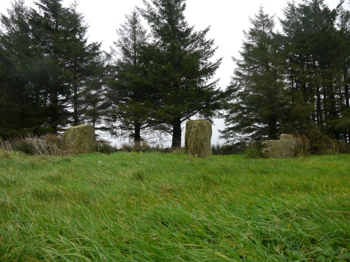
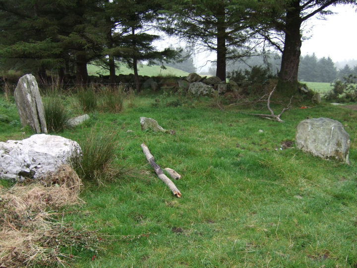
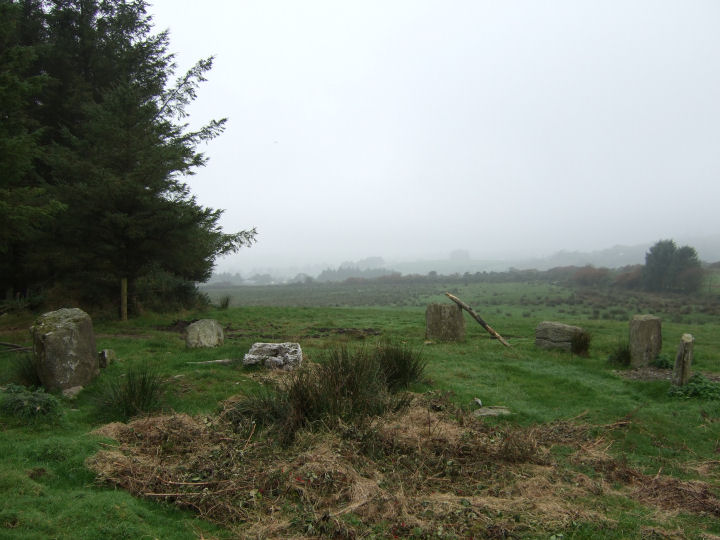
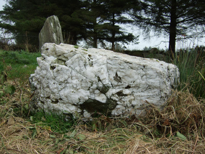
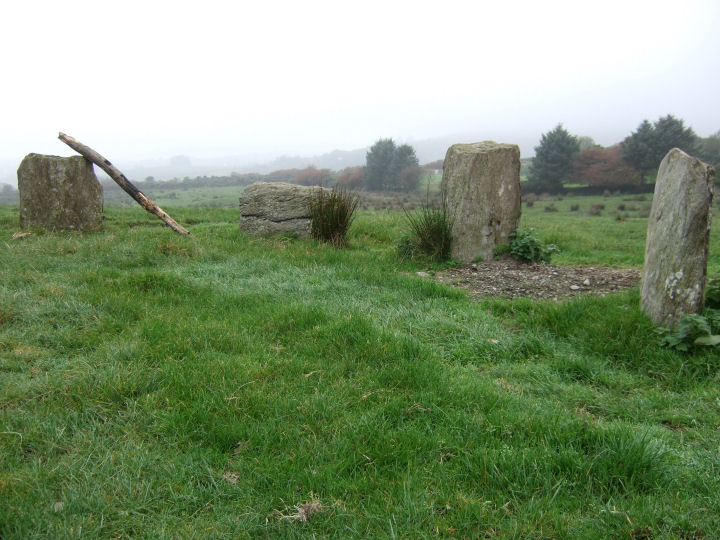
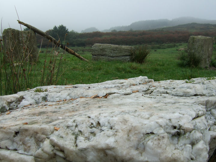
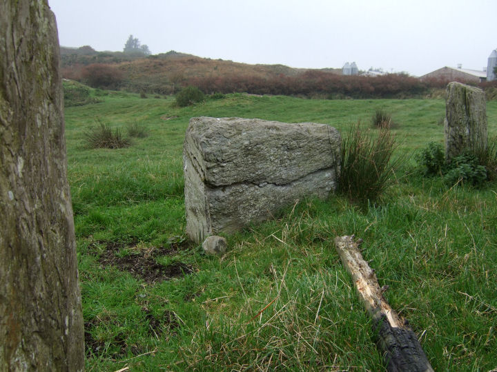
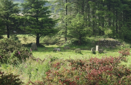
According to O'Nuallain (PRIA 84C, 1984; 21) there would have been originally 11 stones in the perimeter of a circle with a common local diameter of about 9.5 metres. Seven stones remain, with four in an arc at the western side and three in a group to the east. The entire northern side is missing, including what should have been the northern portal. Placed slightly off centre is the squarish, box-like quartz block, smaller than that at Lettergorman SW and Carrigagrenane NE but still dazzlingly white.
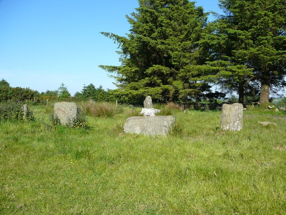
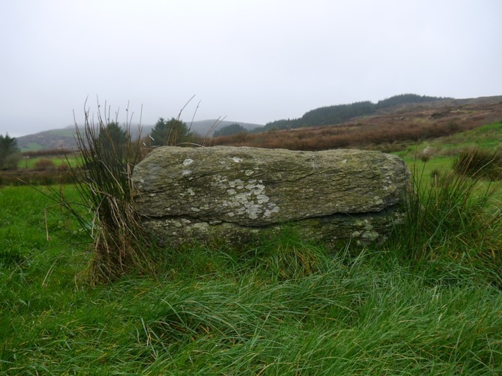
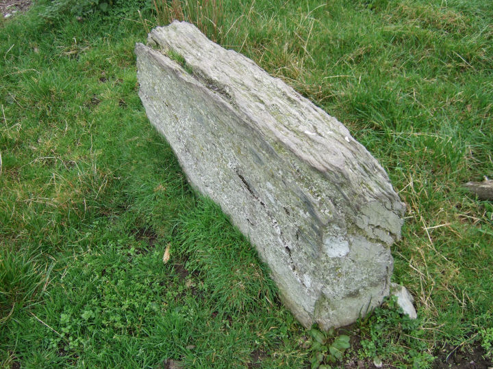
The western section contains the axial stone, long but low at just over knee height, its two flankers and the continuing stone to the north. The top of the axial is rather weathered and it has a curious seam running across the middle of its inner face. The eastern side still has the radially set southern portal, now leaning somewhat to the north, with a rather sharp looking stump and a round topped circle stone to the south. Despite the wrecked guttery look to the remains this circle hasn't deteriorated since at least as far back as 1930 and possibly much further (see plan below).
A slightly unusual aspect to the ring is the position of the axial stone with regard to the remaining stones. It would seem to be positioned to be perpindicular to a line running between the stump to the south of the portal and that stone, rather than facing a line to the north of it, between it and the presumed northern portal. This stump can't be a portal here because it is set with its long axis along the perimeter and it is well off the centre line of the circle as deduced from the remaining stones.
The whole eastern section seems to be flattened and pushed slightly too far north to make a true circle. If a secondary alignment was intended it would be closer to an equinox event than the mid-portals-axial line, but this has never been surveyed.
This site is located in the second field to the east of the road from Dunmanway to Rosscarbery, just down from the rim of the hill after Kippagh bridge. There is a little lay-by as the second indentation in the ditch after the chicken factory. Look over the brambles here.
According to Somerville (1930) 'Meall an tsean baile' translates as the 'Hillock of the old place'. The former he presumed to refer to the high ground to the west of the circle and the latter to the monument itself.
While this would give a satisfying romantic colouring, it is of course possible that baile could indicate a long past (but not prehistoric) village or small settlement in the area of the hill.

 Maps / Plans / Diagrams:
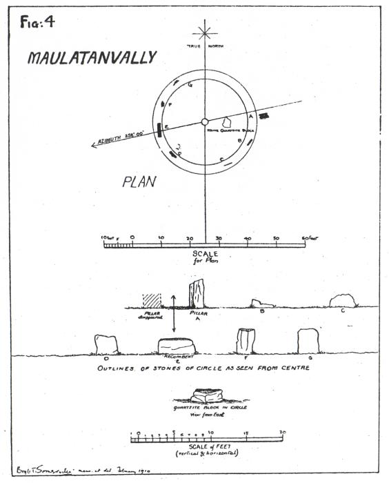
 Posted by gjrk