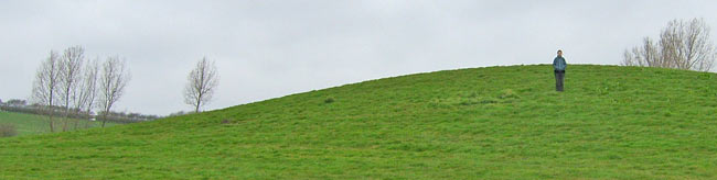
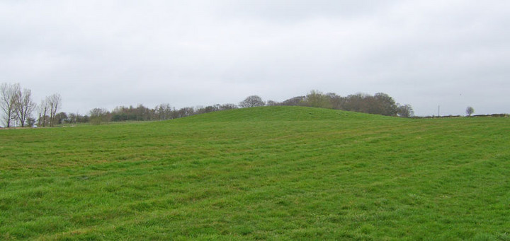
Just a field away from the A5209 Wrightington/Parbold with ample parking in a parallel roadway, this mound (described by WLDC as a bowl barrow -see links) is impressive in scale and easily accessed on foot using one of two footpaths either side of a small row of houses on the N side of the road. Walk to the first field boundary behind the houses and there it is.
Access-wise, using the path E of the houses, the ground is level but has one low stile. The other path may provide easier access. The distance from the road is quite short.
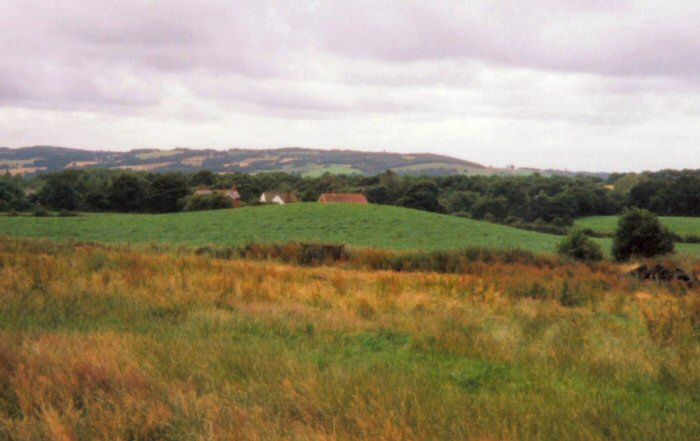
It's quite tall, taller than I'd expected, and doesn't have a discernible base, whether this is by design or down to agricultural erosion wasn't clear. Molehills in the field were mainly of earth, while those on the barrow slope contained more in the way of small stones. Viewed from a distance it's evident that something gets driven over it from time to time, perhaps to keep the turf short.
Just for interest, the field boundary walls were of a dark and damp stone, while if you enter from the E side of the houses, you'll see a very light coloured stone block. only a few small stones seen in surrounding fields were of the same colour, but I'm not well up on the geology of the area yet.
Good views S from the top towards other high points in the landscape, such as Ashurst Beacon, but the W and N horizons are very close by.
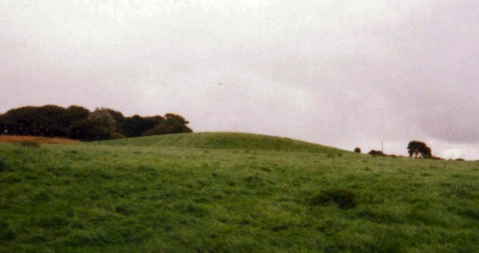
Ascending Parbold Hill and proceeding eastward in the direction of Standish, says [Mr Price, honourary secretary of the Historic Society of Lancashire and Cheshire], a slight decent is made into the ravine called Sprodley Wood, locally known as Fairy Glen, and along this wood runs Sprodley Brook. Shortly after passing over Sprodley Brook, in a field on the left may be seen a grass-covered mound, which from time immemorial seems to have been called Boars Den.
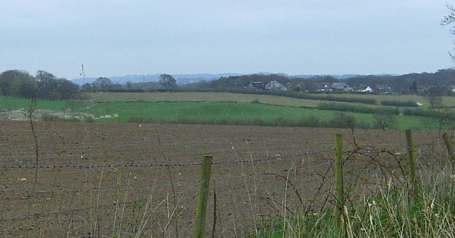
[...] From this plateau a magnificent view presents itself at every point of the compass. Northwards, beyond the silver streak of the Ribble estuary, rise the Cumberland Hills; nearer, and trending eastwards, may be seen Pendle Hill, Bleasdale Moors, Longridge Fells, Rivington Pike, and Anglesark Moors; southwards, Standish, Billinge Beacon, and Ashurst; and westward stretches a vast plain, with the Welsh mountains faintly outlined across the Mersey estuary. Few sites in Lancashire could rival this in its command of the ancient landmarks and beacons of the county, and the estuaries of the Ribble, Mersey, and Dee.

 Posted by Rhiannon