The Modern Antiquarian
Log in
|
Register
Home
Latest Posts
Forums
Maps
Help
Browse Sites
News
Blog
Contributors
The Books
Select
-
Belgium
Denmark
Eire
France
Germany
Greece
Italy
The Netherlands
Norway
Portugal
Republic of Malta
Spain
Sweden
Switzerland
United Kingdom
County Cavan
Burren
Legalough
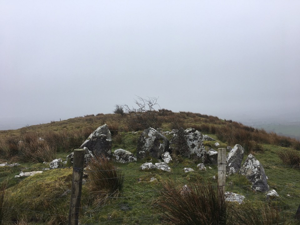
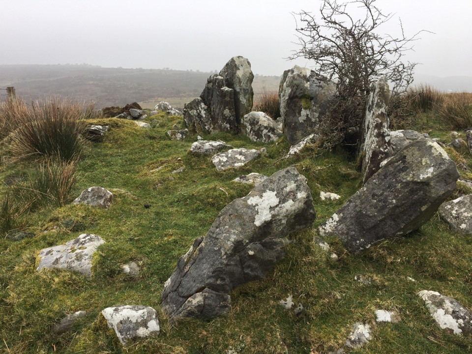
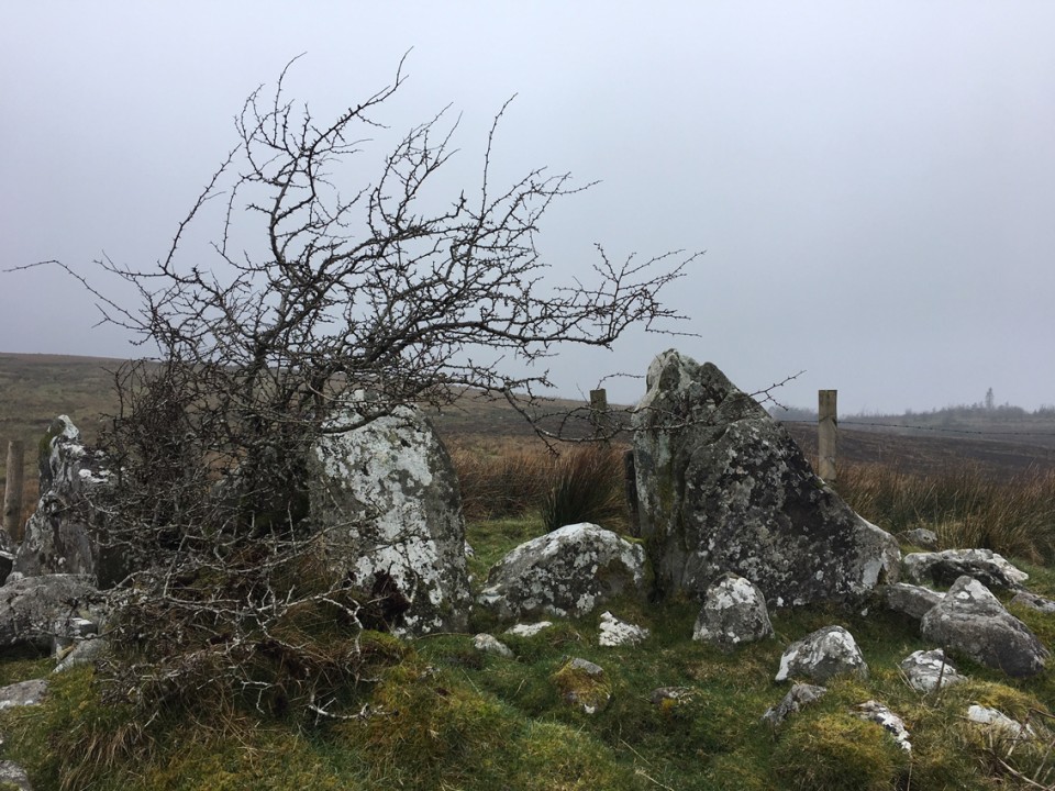
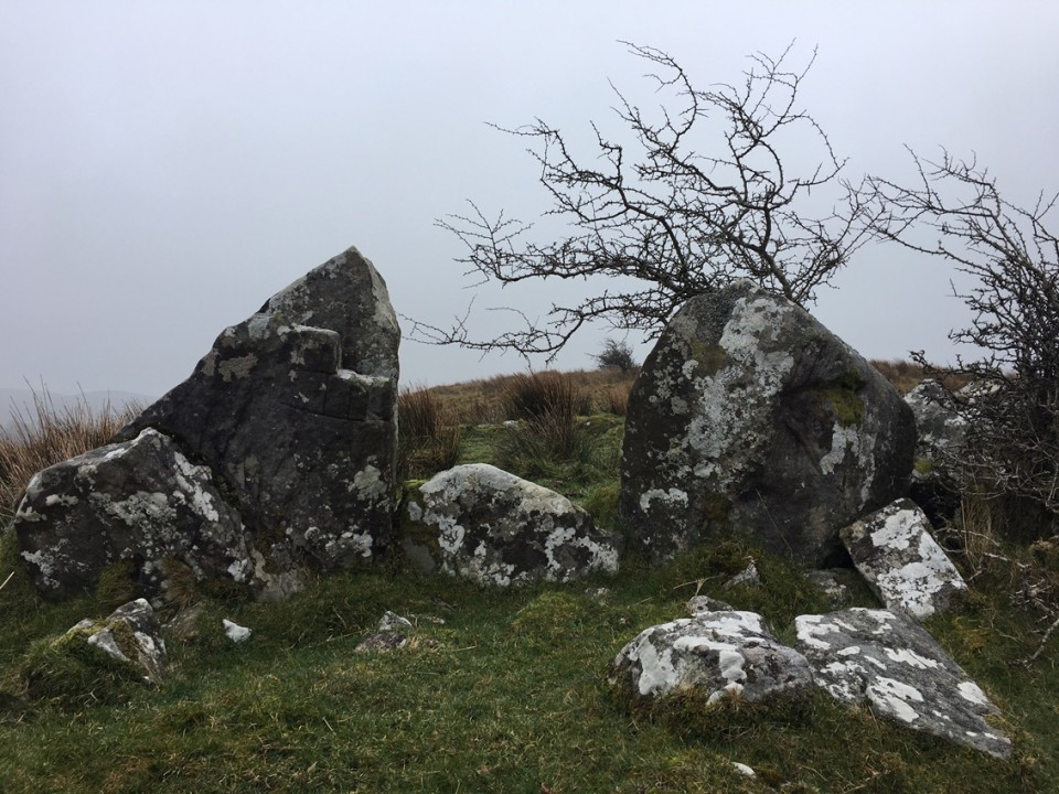
Court Tomb
Legalough (Court Tomb) on The Modern Antiquarian, the UK & Ireland's most popular megalithic community website. 4 images, plus information on many more ancient sites nearby and across the UK & Ireland.
Image © ryaner
Nearest Town:
Swanlinbar (13km ESE)
OS Ref (IE):
H083350 /
Sheet: 26
Latitude:
54° 15' 49.21" N
Longitude:
7° 52' 21.4" W
Added by
FourWinds
Images (4)
0 discussions
Start a topic
Show |
Hide
Web searches for Legalough
Flickr
Google
Google Images
The Megalithic Portal
Bing
Stone Pages
Wikipedia
Show map
(inline Google Map)
- Sites within 20 km -
-
Legalough (0km N) (4 posts)
Legalough (0km N) (2 posts)
Burren (E) (0.45km W) (24 posts)
Lanliss (0.63km NW) (12 posts)
Burren (N) (0.74km WNW) (2 posts)
Burren Central (III) (0.8km WSW) (3 posts)
Burren (Central) (0.82km W) (12 posts)
Duckfield (0.85km ESE) (4 posts)
Burren (Central II) RA (0.85km W) (4 posts)
Burren (Central II) (0.85km W) (8 posts)
The Rocking Stone (0.86km SW) (1 post)
Burren (Central, W) (0.95km W) (13 posts)
Manragh Upper (0.99km ESE) (0 posts)
Manragh Upper (1.04km SSW) (1 post)
Cullentragh (1.06km N) (5 posts)
Burren (SW) RA (1.07km WSW) (2 posts)
Burren (SW) (1.11km WSW) (9 posts)
Kilnameel (1.2km ESE) (0 posts)
Garvagh (2.14km SSW) (4 posts)
Clyhannagh (2.39km ENE) (12 posts)
Moneygashel (2.5km WSW) (6 posts)
Moneygashel (2.63km WSW) (7 posts)
Mullaghboy (2.66km SW) (3 posts)
Garvagh (3.08km S) (0 posts)
Killinagh (3.77km WNW) (10 posts)
Templenaffrin (4.18km NNE) (6 posts)
The Shannon Pot (4.45km SW) (3 posts)
Rushin (4.73km NNW) (2 posts)
Cavancarragh (4.76km NNW) (5 posts)
Kilrooskagh (5.44km NW) (5 posts)
Brockagh Lower (7.44km W) (2 posts)
Carrickmacsparrow (7.81km NE) (6 posts)
Aghanaglack (8.58km N) (16 posts)
Greenan (10.53km E) (9 posts)
Carrickbrannan (10.59km SW) (5 posts)
Reyfad (11.55km NNE) (14 posts)
The Shaking Stone (11.72km NW) (0 posts)
Druminalass (15.04km SW) (1 post)
Carrigeengeare (15.13km W) (2 posts)
Legland (15.39km NNW) (0 posts)
Drumgormly (15.9km NW) (0 posts)
Corracloona (16.56km WNW) (12 posts)
Dog Little (16.88km NW) (0 posts)
Cloonmeone Upper (17.32km WSW) (5 posts)
Kilnagarns Upper (17.34km WSW) (0 posts)
Kilnagarns Lower (17.34km WSW) (0 posts)
Meenymore (17.47km W) (1 post)
Aghnacally (17.72km ESE) (9 posts)
Cleighran More (18.09km SW) (0 posts)
Tullyskeherny (18.34km W) (7 posts)
Lisdarush (18.94km W) (0 posts)
Lisdrumgran (19.53km WSW) (0 posts)
Modorragh (19.93km WSW) (0 posts)
- Add -
-
Add news
Add an image
Add fieldnotes
Add folklore
Add miscellaneous
Add a link
-
Add a site
Add a nearby facility
Add an alternative name/spelling
Images
(click to view fullsize)
Add an image
 Image © ryaner