The Modern Antiquarian. Stone Circles, Ancient Sites, Neolithic Monuments, Ancient Monuments, Prehistoric Sites, Megalithic MysteriesThe Modern Antiquarian


West Blair

Standing Stone / Menhir

<b>West Blair</b>Posted by nickbrandImage © nickbrand
Nearest Town:Kinross (8km SSE)
OS Ref (GB):   NO108103 / Sheet: 58
Latitude:56° 16' 36.18" N
Longitude:   3° 26' 26.64" W

Added by nickbrand


Discussion Topics0 discussions
Start a topic


Show map   (inline Google Map)

Images (click to view fullsize)

Add an image Add an image
<b>West Blair</b>Posted by nickbrand <b>West Blair</b>Posted by nickbrand <b>West Blair</b>Posted by nickbrand

Fieldnotes

Add fieldnotes Add fieldnotes
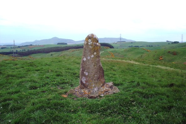
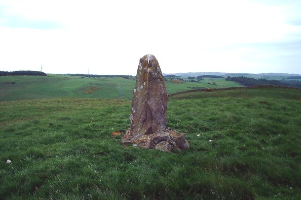
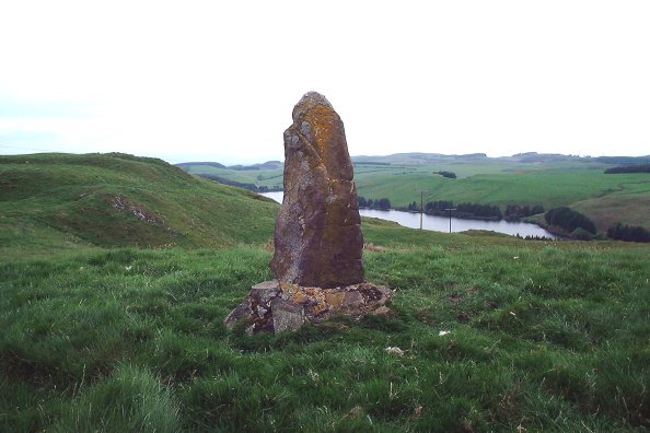
This stone stands around 1.2m tall, and appears to be sandstone. At some point in the past it has been reinforced by cementing in some field clearance stones around the base. It hasn't been moved, however, as I saw it marked on a map dating from around 1740, in the position it occupies today. Some pretty good views from where it stands.

There are the remains of an old priory a couple of hundred metres WNW, and another nearby hill is called Temple Hill, apparently the Knights Templar owned the area at some point in the past.
nickbrand Posted by nickbrand
3rd June 2003ce

Links

Add a link Add a link

Old Maps - West Blair


view the site on the old OS map
BigSweetie Posted by BigSweetie
3rd January 2004ce