Having read in the past - some time or other - that Bigbury had been seriously damaged by gravel digging (you can't make it up), it's consequently taken a while to finally pay a visit to this legendary site. Legendary? Well, yeah. It would appear that most authorities are happy that this is (well, probably) the place where the Cantii 'retired on the woods, where they had a strongly fortified position of great natural strength'... the words of a certain Julius Caesar in 54 BCE, the Vain One having repulsed a mobile assault by the locals near the Great Stour. Needless to say the Cantii stood no chance against the siege techniques of the VII legion during Caesar's abortive invasion of these Isles. The rest, as they say, is history. Or at least the master propagandist's version of it, helping to cement his inexorable rise to ultimate power.
To be honest it is worth coming to Bigbury for that alone.... to stand upon the ramparts and just IMAGINE what it must have been like to see the Romans advance, see your missiles bounce harmlessly off their testudo shield formation.... and realise you would most probably die this day as the siege ramp grew higher. But there is much more to Bigbury than that. Tangible remains, too, giving credence to the fact that Bigbury was probably the most important hillfort (south of the Thames) in Caesar's path. According to yer man, 'they [the Cantii] did nothing unworthy'... which of course may have been a quote designed to inflate his 'achievements'... but I reckon reflects the fatalistic last ditch defence by the local warriors... a defence which may well have contributed to the Romans' eventual retreat back across the Channel for a century. And, in all probability, it happened here. Jeez.
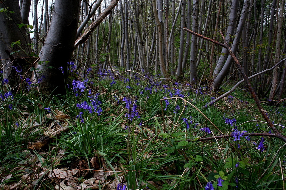
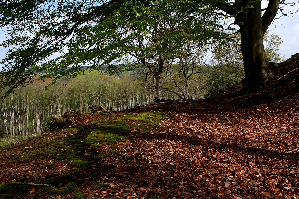
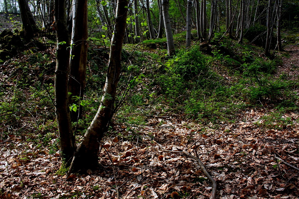
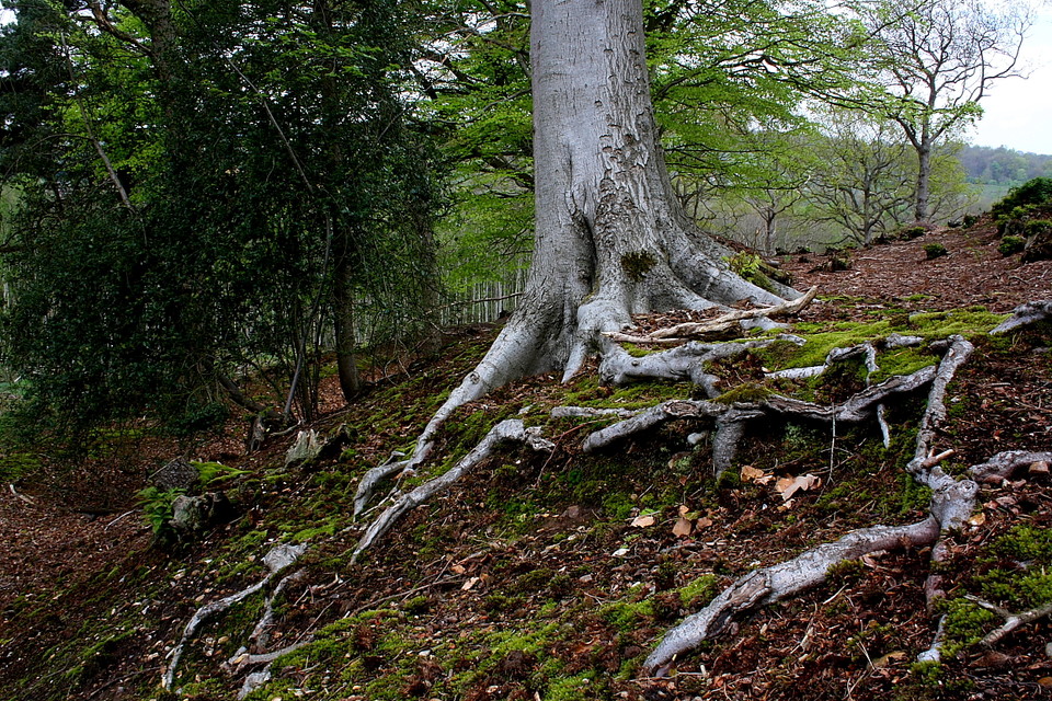
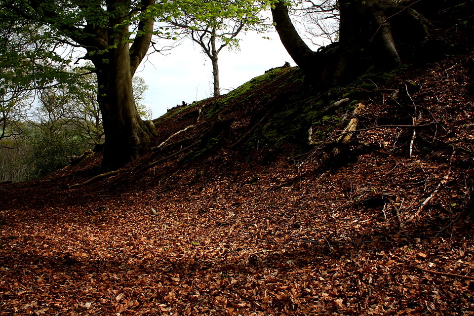
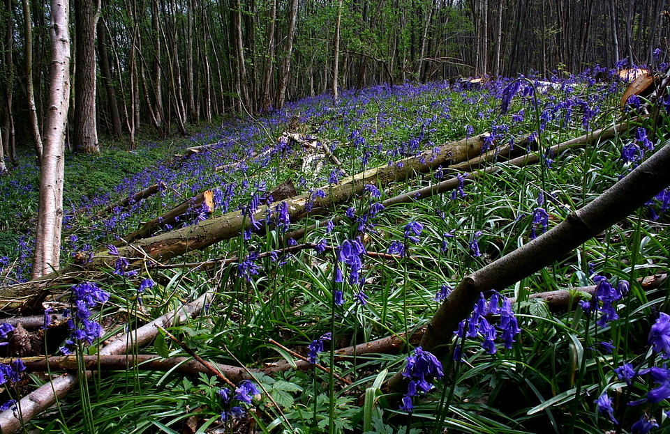
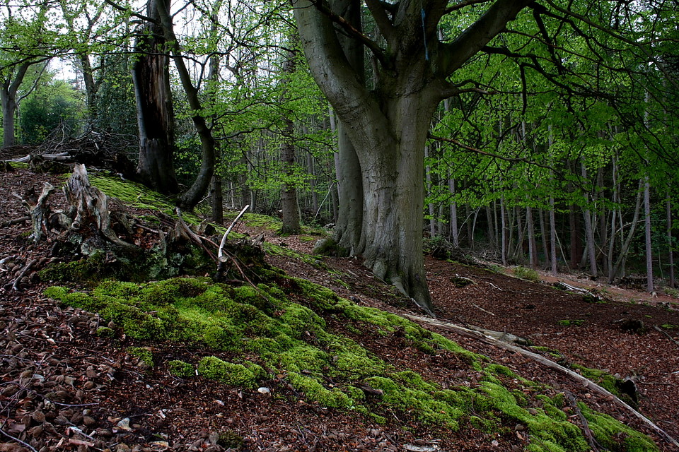
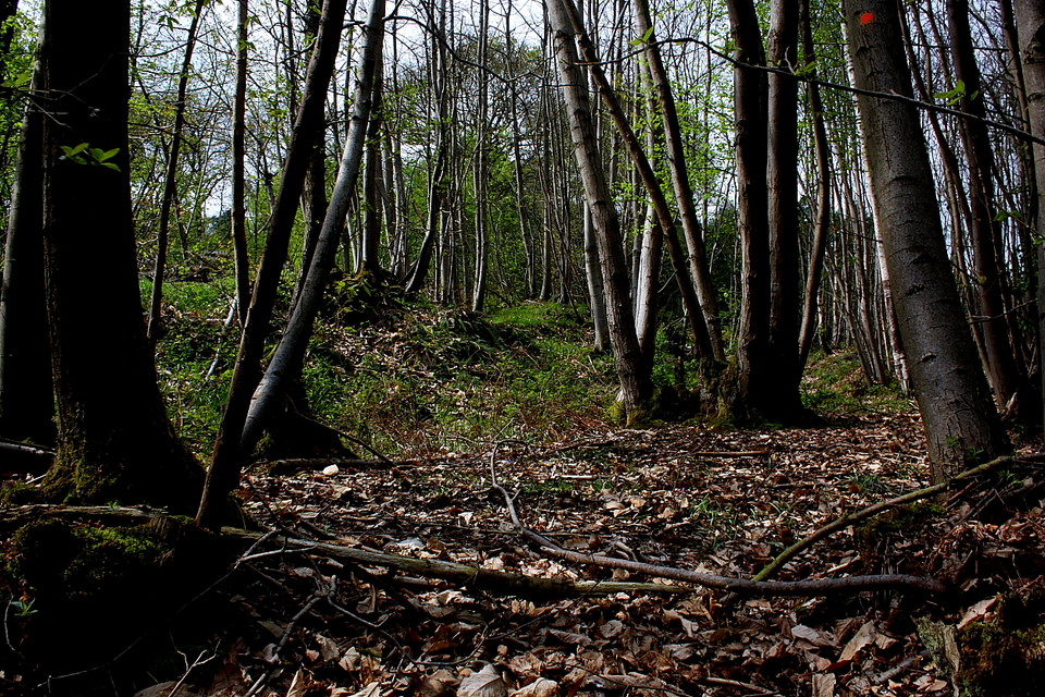
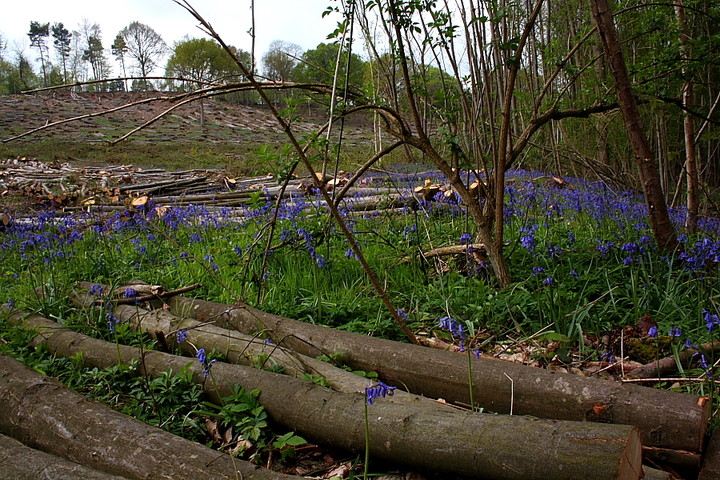
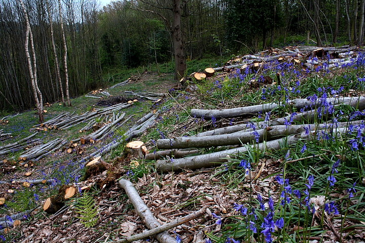
Needless to say I nearly don't make it here at all ... in-car navigation is not my forte. However I eventually locate Harbledown and, crossing the A2, via a bridge, park just beyond upon Bigbury Road. The 'North Downs Way' long distance path cuts through the site from here, pretty substantial earthworks, clad in a beguiling May carpet of blue bells, soon materialising within the woodland. I'm confused, however. Why does the hillside rise steeply to the south, apparently bearing an outward facing rampart? It takes a while.... not to mention much clambering about... to suss that the blue bell adorned ramparts actually represent a north-western annexe.... albeit a pretty powerful one, possibly (according to Dyer) a cattle pound? Some cattle pound! Yeah, the defences of this additional area are substantial, particularly those linking it to the main enclosure upon the western flank. Ascending this bank the penny drops... the OS 1:25K map helps, to be fair... that most of the southern defences of Bigbury, beyond Bigbury Road, are no more. However the northern, towering above the aforementioned annexe, leave no doubt that this was once a major fortress, indeed. But no match for you know who? Damn him and his dodgy haircut to blazes! Although, to be fair, the discovery of a slave chain at Bigbury emphasises that these were extreme, violent - hell, inhuman - times. We need to keep things in perspective.
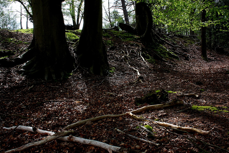
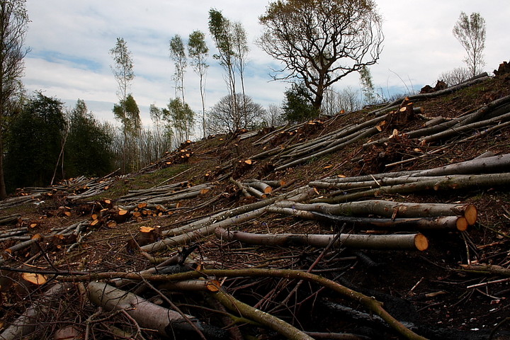
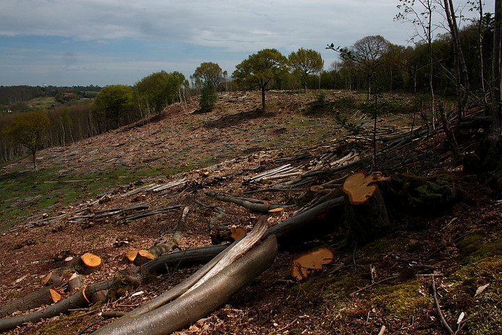
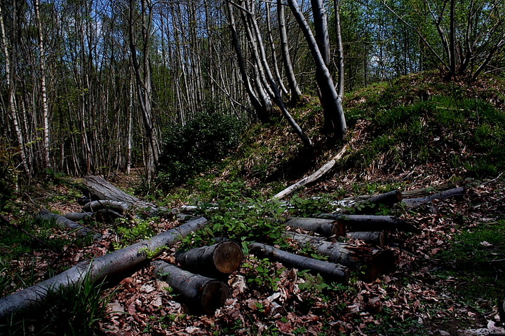
Fallen trees currently lie stacked upon Bigbury... notices state that this is an official attempt to clear more of the Iron Age ramparts, the back breaking work, I believe, undertaken by volunteers of the Kent Wildlife Trust. Now although regular TMA-ers will know that I'm your archetypal 'tree-hugger', it appears that the mature examples are being spared. Hey, I can live with that. Well done Kent Wildlife Trust. Come to Bigbury and celebrate the defiance of the Britons to the invader. Yeah, sing their praises in the Mead Hall. Or failing that, the Slug and Lettuce.... that'll wind up the punters no end.
This camp is right next to the farm where I go hop picking every year.. Not a great deal to see here, but an intense atmosphere, especially in the mist.. the pilgrims way runs right past here, probably an important route way back into pre christian times. If you carry on along the path towards canterbury you'll find a community orchard full of stunning old apple trees, one of the last of its kind in kent.
Visited on 26th October 2003. It's easy to find on foot as the well marked North Downs Way runs right through the middle of this site. Despite being heavily wooded the banks and ditches are quite visible in places, especially on the west- facing side. This site is a short drive from Julieberries Grave, which is also just off the A28 Canterbury-Ashford road.
If you join the North Downs Way in or before the village of Chartham Hatch the path takes you through a lovely apple orchard.

 Posted by GLADMAN