The Modern Antiquarian. Stone Circles, Ancient Sites, Neolithic Monuments, Ancient Monuments, Prehistoric Sites, Megalithic MysteriesThe Modern Antiquarian


Chynhalls Point

Cliff Fort

<b>Chynhalls Point</b>Posted by thesweetcheatImage © A. Brookes (23.6.2014)
Nearest Town:Mullion (10km W)
OS Ref (GB):   SW785174 / Sheet: 204
Latitude:50° 0' 53.44" N
Longitude:   5° 5' 31.89" W

Added by pure joy


Discussion Topics0 discussions
Start a topic


Show map   (inline Google Map)

Images (click to view fullsize)

Add an image Add an image
<b>Chynhalls Point</b>Posted by thesweetcheat <b>Chynhalls Point</b>Posted by thesweetcheat <b>Chynhalls Point</b>Posted by thesweetcheat <b>Chynhalls Point</b>Posted by thesweetcheat <b>Chynhalls Point</b>Posted by thesweetcheat <b>Chynhalls Point</b>Posted by thesweetcheat <b>Chynhalls Point</b>Posted by thesweetcheat <b>Chynhalls Point</b>Posted by thesweetcheat <b>Chynhalls Point</b>Posted by thesweetcheat <b>Chynhalls Point</b>Posted by thesweetcheat

Miscellaneous

Add miscellaneous Add miscellaneous
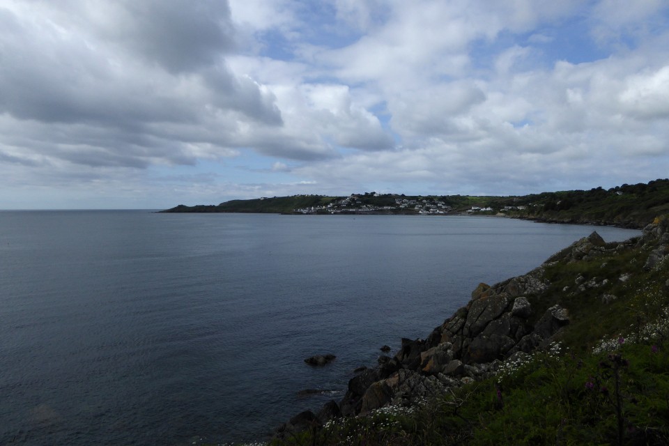
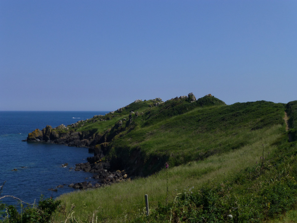
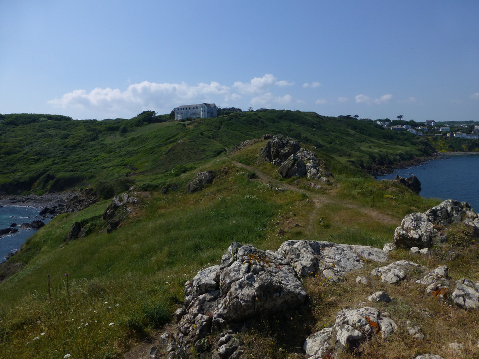
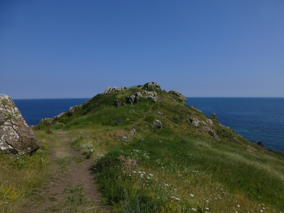
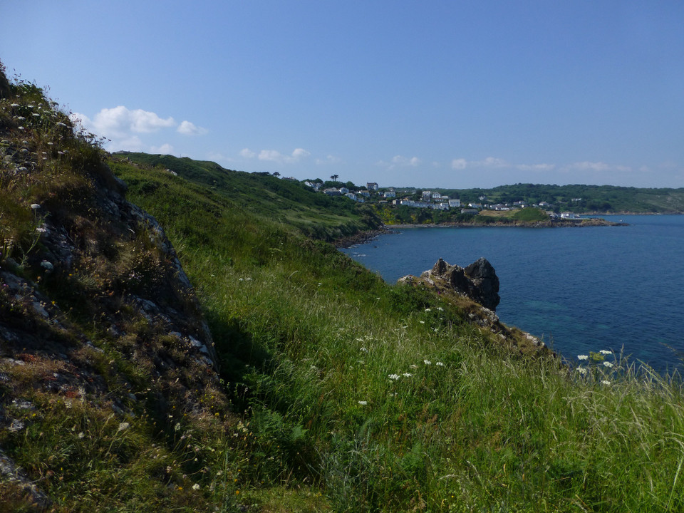
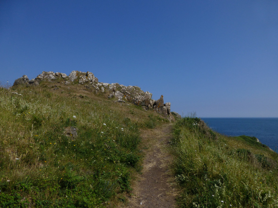
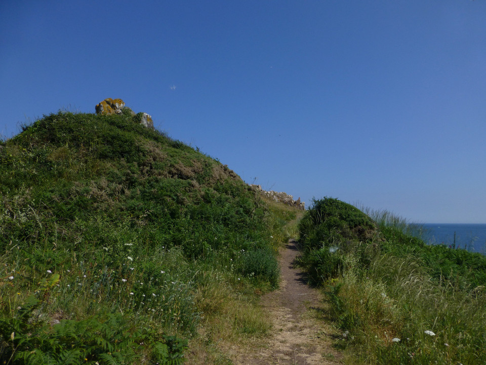
Mentioned by Craig Weatherhill, in “Cornovia: Ancient Sites of Cornwall & Scilly” (Cornwall Books - 1985, revised 1997 & 2000) – “The neck of this prominent headland displays two Iron Age ramparts with an intermediate ditch. The outer bank, best preserved on the northern side of the headlands, is 1.1m high. The inner is more massive, reaching a height of 2.7m, and is revetted with stone. A simple central entrance pierces both defences. No occupation sites have yet been noted.” pure joy Posted by pure joy
14th May 2003ce