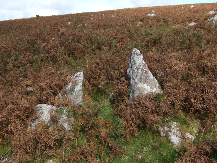
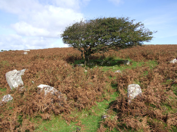
Approached from Temple Bridge, just south of the A30, this complex of 94 huts and enclosures is possibly best visited in the spring, before the bracken covers it. I found it quite hard to make out things in amongst the autumnal undergrowth. There are loads of upright stones..presumably all doorways..you get to the point where you have seen half a dozen why go looking for more.
Don't think many people get out on this bit of the moor...
Mentioned by Craig Weatherhill, in “Cornovia: Ancient Sites of Cornwall & Scilly” (Cornwall Books - 1985, revised 1997 & 2000 as a “huge open settlement, probably Bronze Age, containing about 80 round houses within an area of 4 ha. The huts are between 5.0m and 11.0m in diameter, with walls up to 1.0m high and 1.6m thick. Most have south to south-east facing entrances, often with upright jambstones in place. Some of the hut entrances have stone-lined approaches, and many huts either adjoin others or are linked by lengths of low walling. Most, however, are free-standing. Evidence of field enclosures as fragmentary, but best seen to the south-east of the settlement.”

 Posted by pure joy