|
|

|
|
Ringmoor Cairn Circle and Stone RowStone Row / Alignment
|
||||||||||||||||||||||||
|
|
|
Images (click to view fullsize) |
|


|
Fieldnotes |
|
|
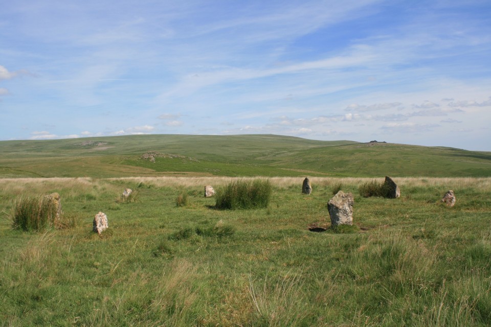
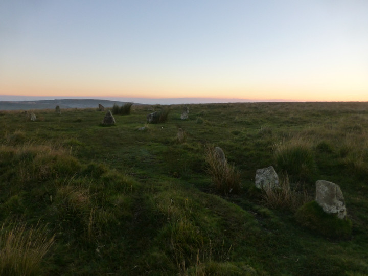
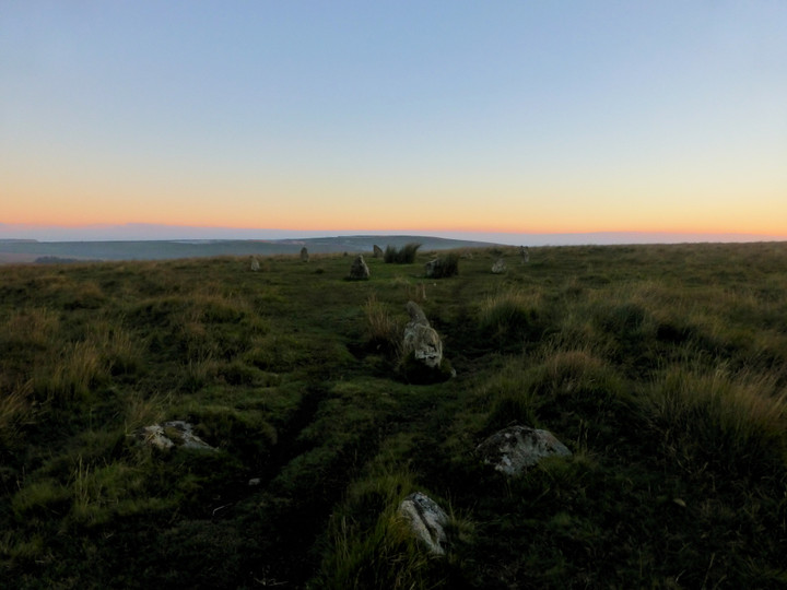
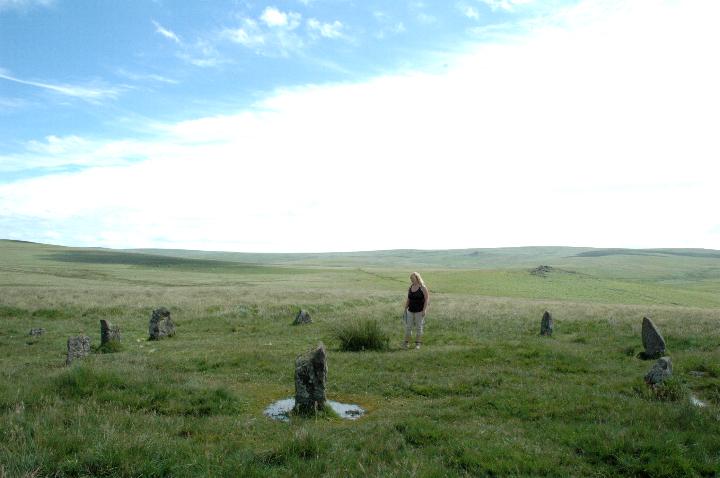
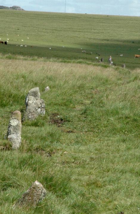
I've been a good boy and waited eleven years for my next chance to say hello to Ringmoor, patience is a virtue they say, but having no money is a poor mans excuse for patience. I'm not going to bother with the kerb circle, TMA doesn't believe it's ancient, so to ensure that I have the time to see everything I want, I am willing to sacrifice the maybe kerb circle, Burl seems to believe in it though. Perhaps I should have gave it a few minutes look. Like Brisworthy this cairn circle was re-erected in 1909, presumably by Rev H.H Breton of Sheepstor. A good man I'm sure. Eric has taken his leave and hidden amid the tall grass in the middle of the ring, to hide from the sun and my camera, and to rest his poor little feet. No rest for the wicked though, so off I go down the hill north following the stones of the row. An odd row it is too, sometimes a double row, sometimes single, stones this side and stones that side, I can only assume it's pretty knackered. Like me, I couldn't even make it to the last stone, I should have, but god I was tired. Back up the hill to the stone circle, I choose a stone and sit leaning against it, "you can come out now if you want Eric" "Nah, it's cool in here" Strange lad. Anyway it is time once more to be moving on, there is one more thing I want to look for whilst were here, stupid map says it's a cairn circle, maybe, we didn't find it, it was a cist anyway, no wonder we couldn't find it. |
 Posted by postman
1st July 2018ce Edited 1st July 2018ce |
|
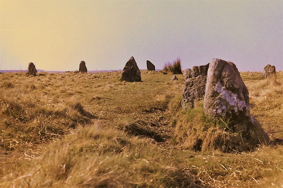
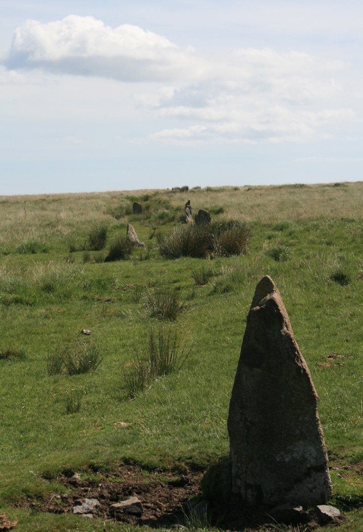
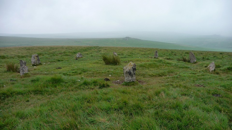
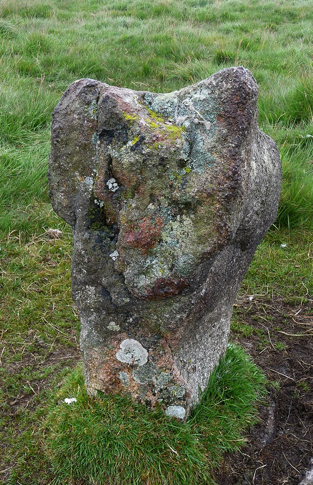
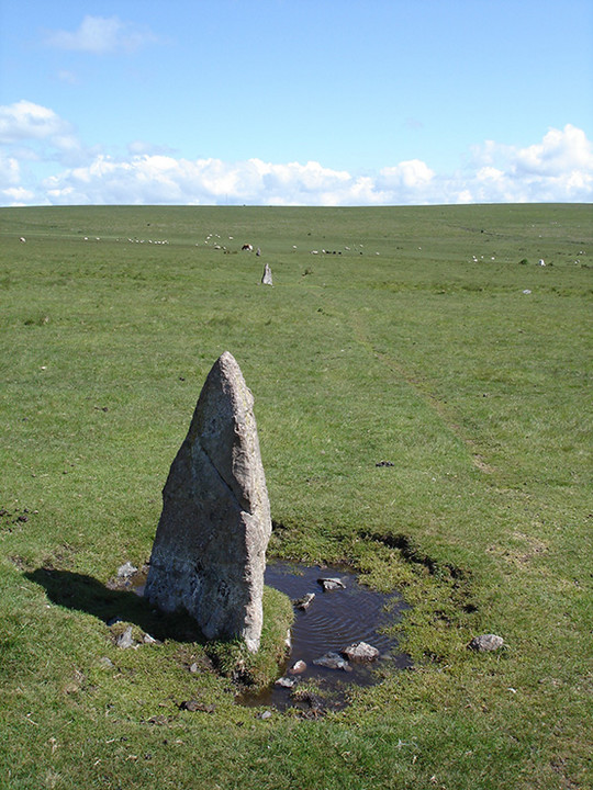
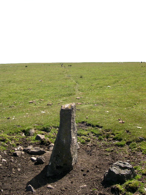
There's something quite satisfying about squelching across sodden moors in the pouring rain. Once you've accepted you're going to get wet, there's no shelter and no short-cut, a sense of purpose kicks in. So with this feeling, I reach the northern end of Ringmoor Down stone row. After the wonders of Drizzlecombe, the tiny terminal stone is surprising, but it shares with Drizzlecombe Row 1 a partial double section (which may not actually be authentic here). Taking pictures is difficult, as the lens gets wet every time I point the camera anywhere but downwards. Eventually I get up to the cairn circle, by which time the rain has got even heavier. This is actually a great little cairn circle, with decently spaced uprights (one of which looks rather as if it might be upside down). The central cairn is badly reduced. I could imagine spending a lot longer here, if it weren't so wet. Instead I squelch onwards. This post appears as part of the weblog entry It's a bovine, ovine, equine world - Dartmoor
|
 Posted by thesweetcheat
14th September 2010ce Edited 14th September 2010ce |
|
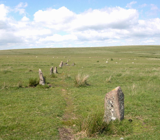
Just up the hill from Brisworthy are the monuments at Ringmoor which unlike pure joy, we found easily. A corkingly long stone row with a rather nice cairn circle at one end. As I strode down the row it seemed to never end! We also spotted some other stuff up there, including another small cairn circle. This post appears as part of the weblog entry The 'Must-Sees' we saw on Dartmoor
|
 Posted by Jane
10th July 2005ce Edited 10th July 2005ce |
|
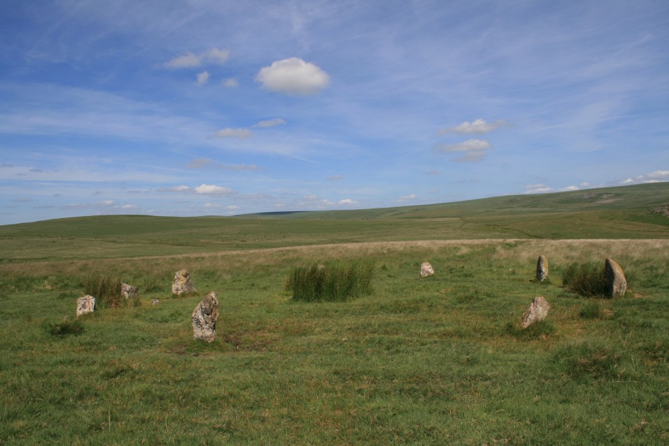
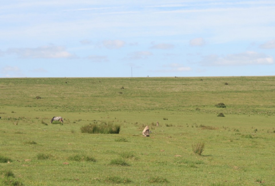
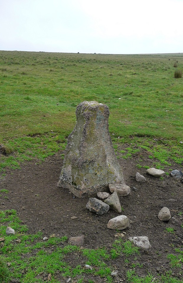
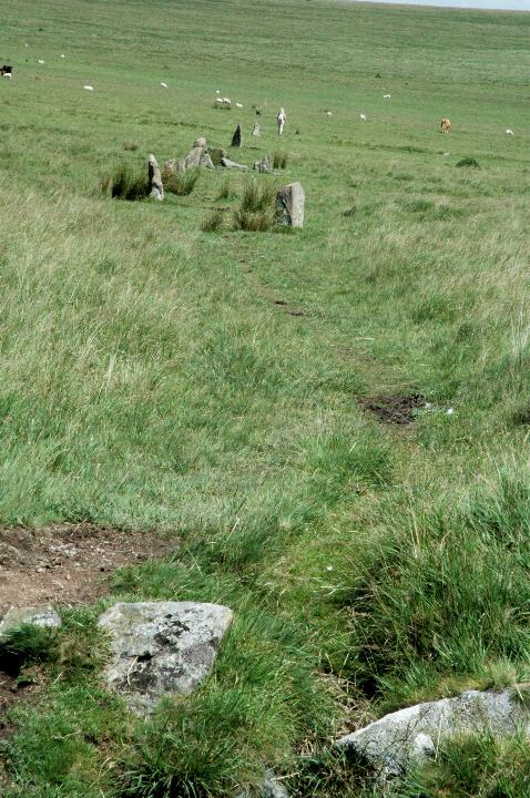
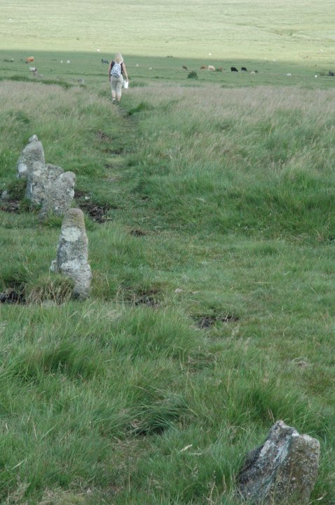
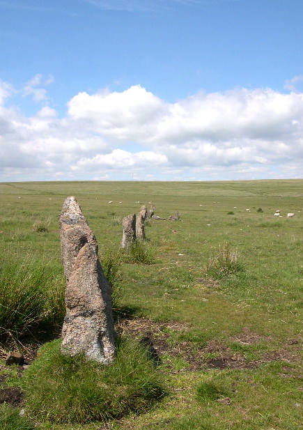
Ringmoor Stone Row and Cairn Circle - 25.6.2004 I thought I was going mad trying to find this. I mean, how hard can it be with a map and compass, good weather, and knowing where you are starting from (Brisworthy Stone Circle)? When I did get here it seemed like a lot more that 300 metres from the Stone Circle. It was probably a mix of it being uphill, across long-ish tufty moorland, and not being able to see the cairn circle until you get pretty close to it (I had mistakenly interpreted the directions from the Megalithic Walks website link below to think it could be seen from all around - it can't be seen unless you are on the plateau). Don't be fooled into thinking that stones over to the west might be the ones you want. They aren't. Just head directly uphill (north or NNW) from the stone circle and you will find Ringmoor. The cairn circle is nice if a little wild and windswept. You do start to get a feeling of being on the top of the world now, with views all around, and the Princeton TV Transmitter looking like you could reach out and touch it (it's actually about 8km away). The row leads away from the circle and is very clear. However, I couldn’t find the small kerbed cairn said by Burl to be about 240m along the row. At first I thought I was going mad, but then I seriously started to believe that it could have been destroyed in recent years? By the by, the black line marked on the 1:25,000 map, going straight through the row, is not a field wall, so don't expect a large wall as I did. It's probably a reave; an ancient field boundary ditch and bank. |
 Posted by pure joy
4th July 2004ce |
|
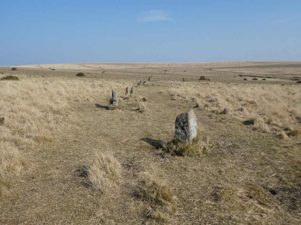
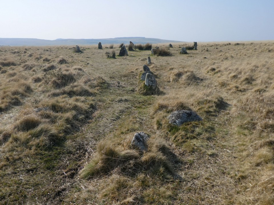
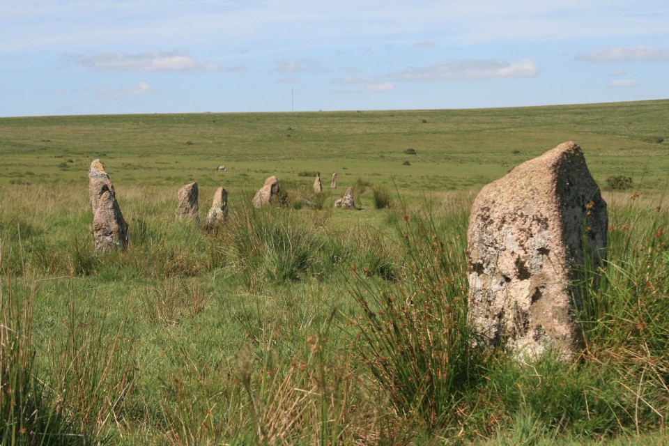
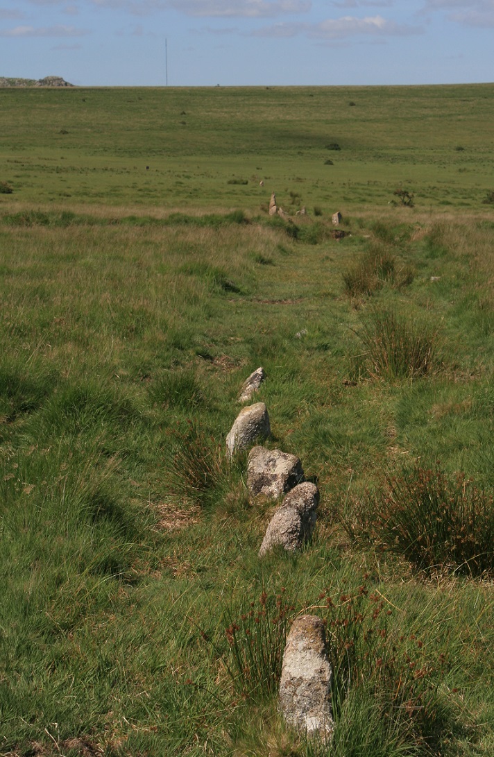
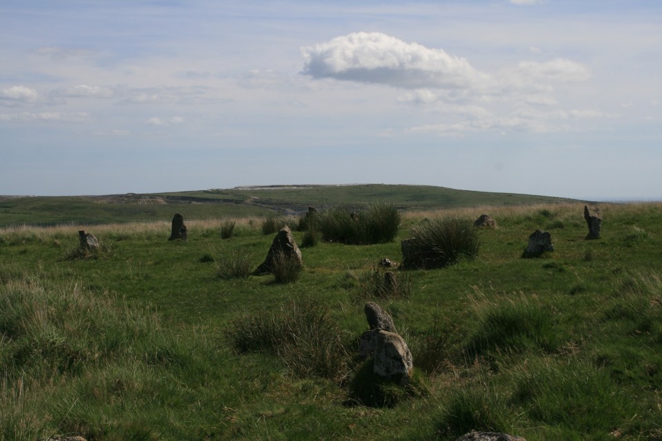
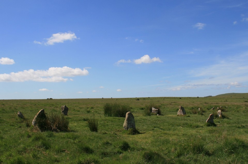
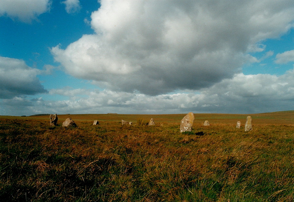
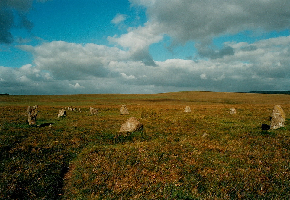
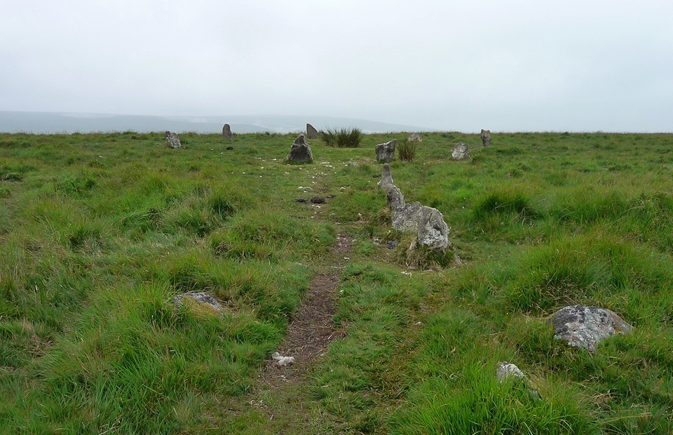
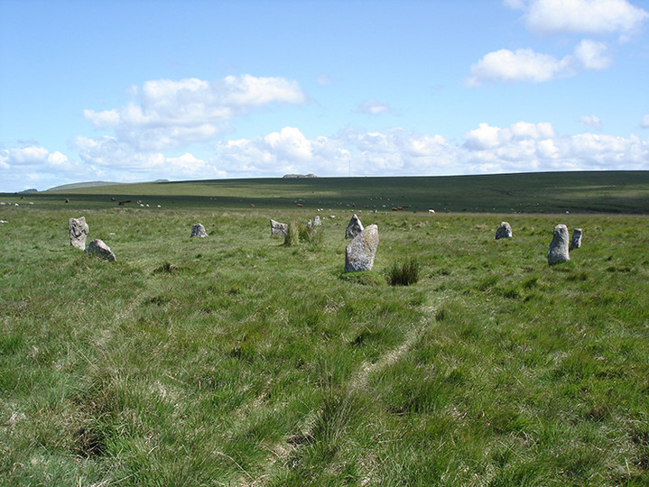
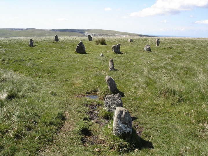
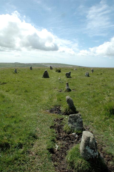
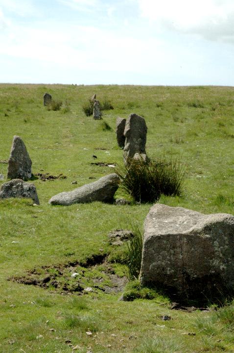
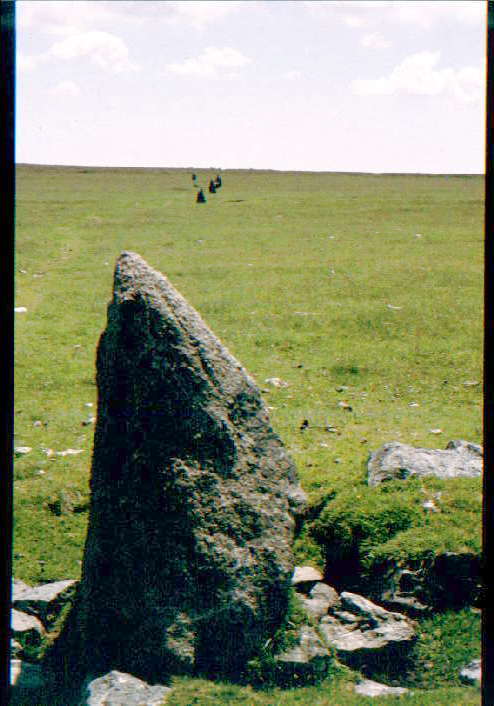
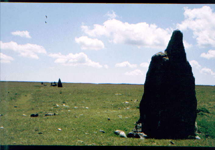
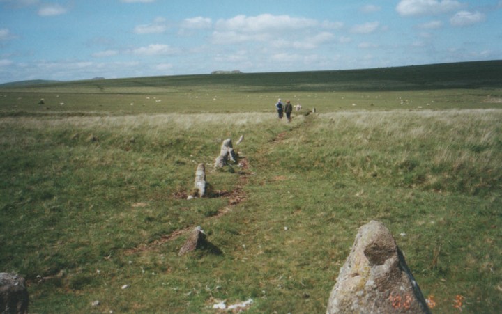
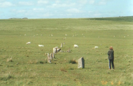
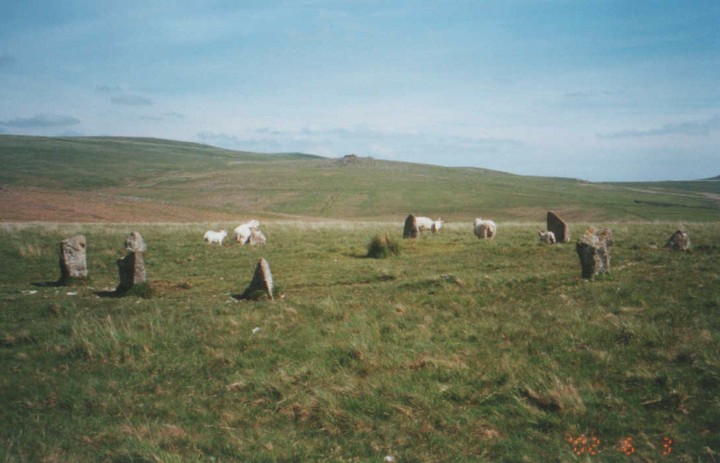
Burl certainly does call this a 530m row but Jeremy Butler in his epic Dartmoor - Atlas of Antiquities claims it is only 369m long. The difference, he claims, is due to the the restorer who "mistakenly added 180 yds to its length". He puts the original ending at the 1.2m high stone in the row of stones N of the low bank some 300m from the cairn circle. He also claims it was probably a single row originally as in the areas where there is a double alignment some of the stones are set across the row suggesting they were re-erected incorrectly. |
 Posted by greywether
16th December 2003ce |
|
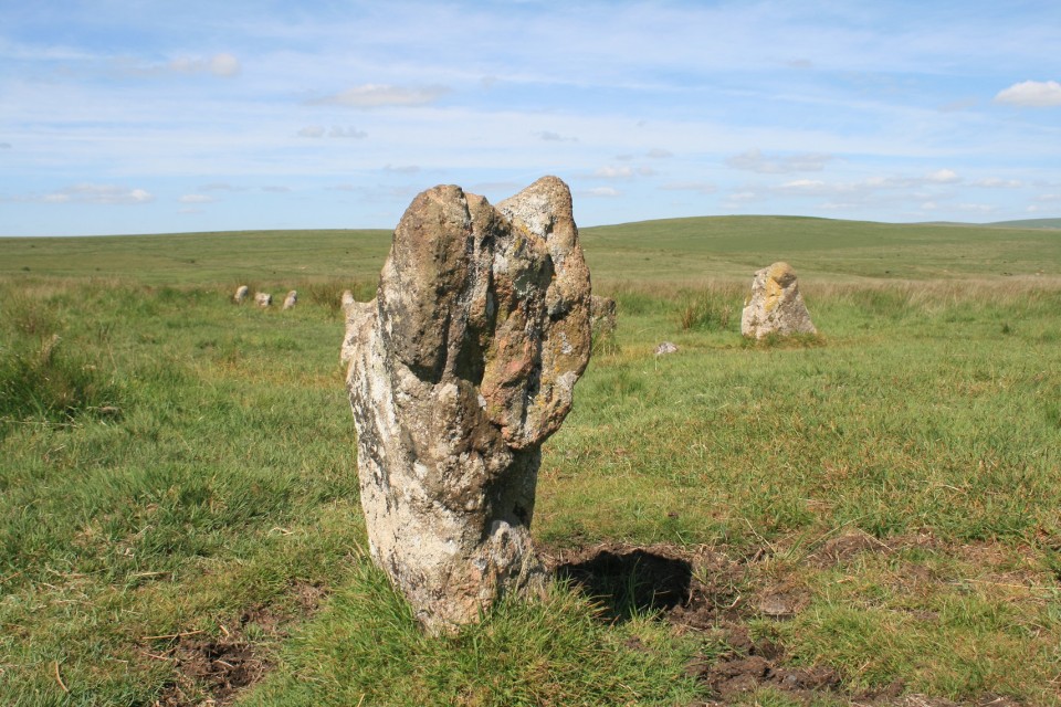
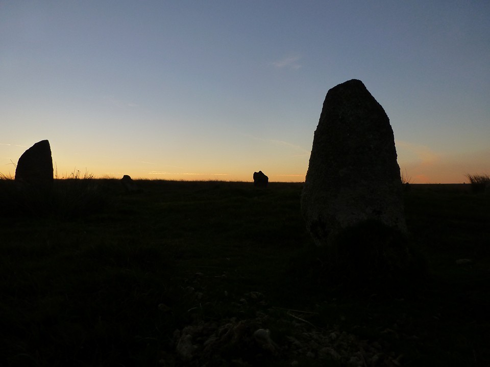
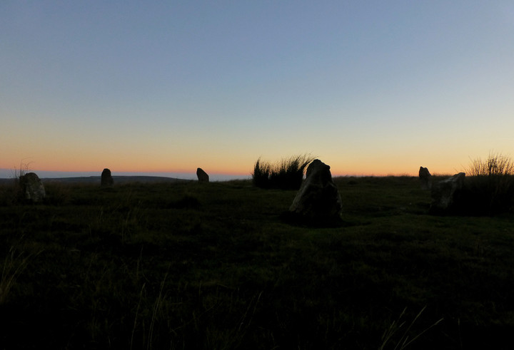
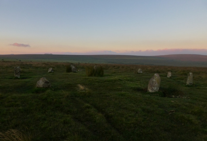
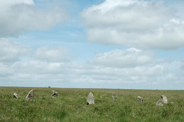
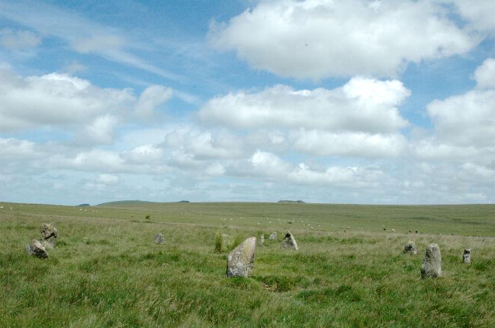
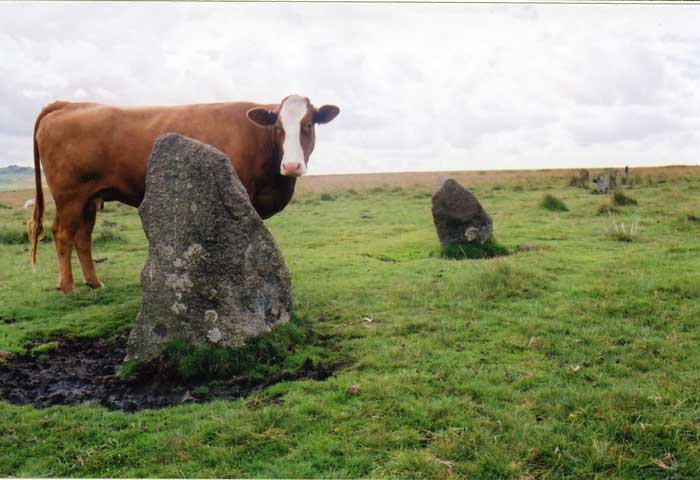
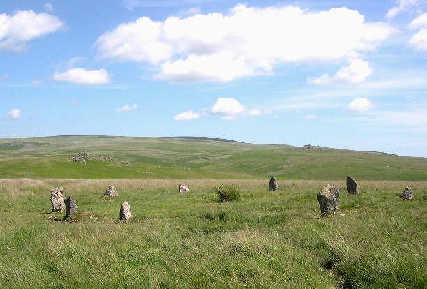
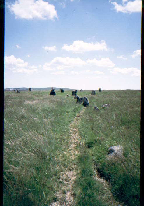
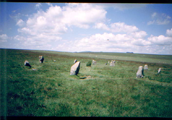
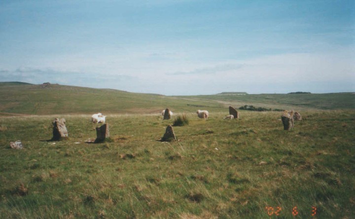
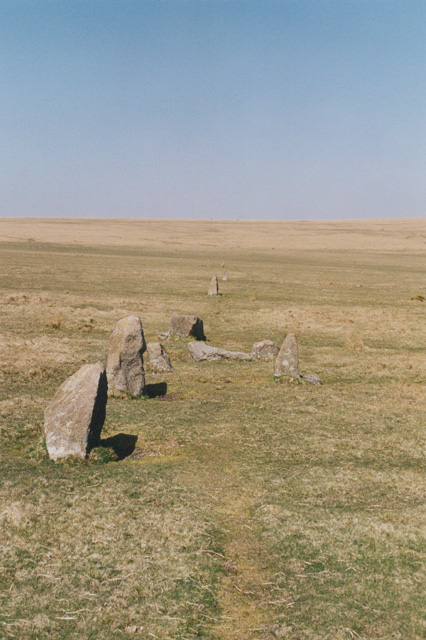
This is a wonderful setting consisting of a cairn circle and a stone row. The circle itself is around 13m in diameter and has 11 stones. It was re-erected in 1909 and some of the stones may not be original. The row is 530m long and consists of a double line of stones although some have been lost making it a single row in parts. |
Posted by stewartb 11th May 2003ce |
Folklore |
|
| Ringmoor Down is stuffed with prehistoric remains - the stone row, stone circles, hut circles, round cairns... but do resist the urge to dig them up even though "Whoever shall find the treasure hidden on Ringmoor Down may plough with a golden ploughshare and yoke his oxen with golden cross-sticks." - this is a saying recorded in 1850 (and put by Grinsell in his 'Folklore of Prehistoric Sites in Britain'). If I found the treasure I reckon I'd give up farming and pay someone to plough for me with the usual wood and iron kit. |
 Posted by Rhiannon
9th June 2004ce |
Links |
|
Megalithic WalksDirections, pics, & comments |
Posted by pure joy 4th July 2004ce |
A Dowser's ViewPhotos and plans |
Posted by greywether 16th December 2003ce |
Liminae |
Posted by stewartb 11th May 2003ce |