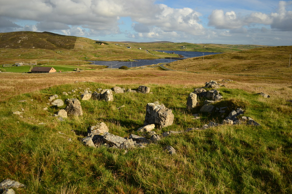
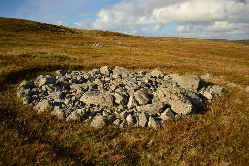
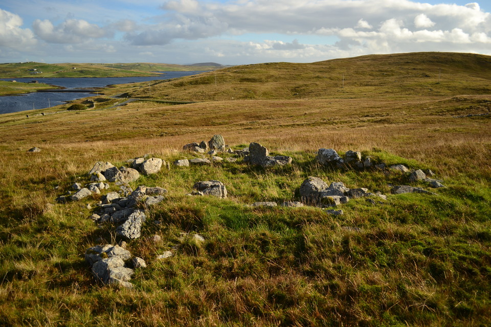
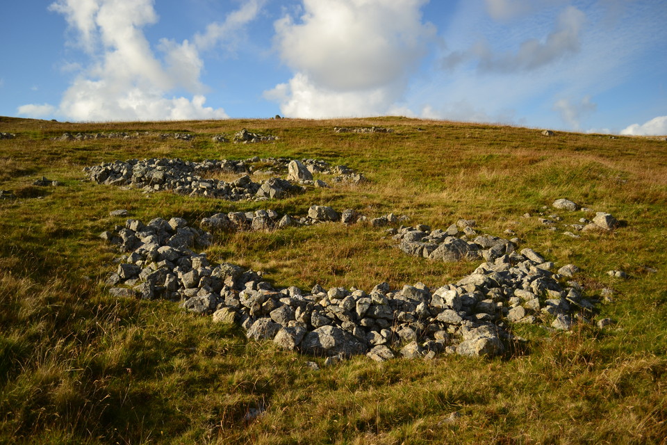
Scord of Brouster
Ancient Village / Settlement / Misc. Earthwork
Scord of Brouster (Ancient Village / Settlement / Misc. Earthwork) on The Modern Antiquarian, the UK & Ireland's most popular megalithic community website. 6 images, 2 fieldnotes, plus information on many more ancient sites nearby and across the UK & Ireland.
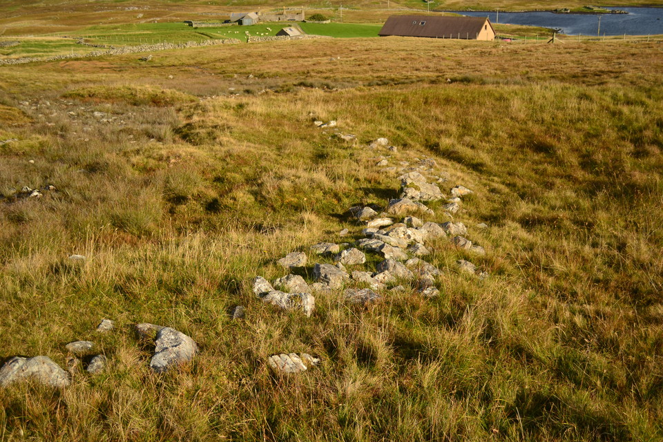
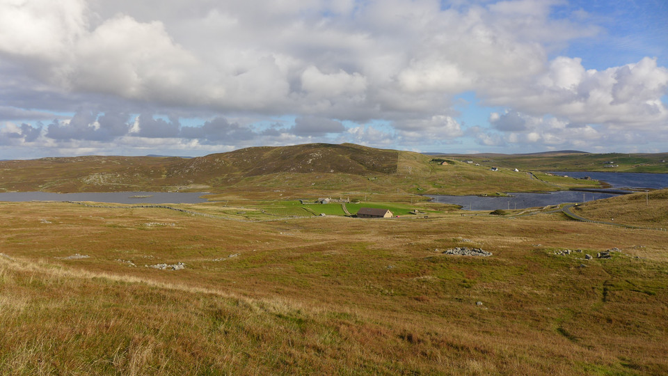
Image © thelonious
Nearest Town: Lerwick (24km ESE) OS Ref (GB): HU257516 / Sheet: 3 Latitude: 60° 14' 53.53" N Longitude: 1° 32' 8.57" W
Web searches for Scord of Brouster
24/09/2014 - I agree with Carl, this site is well worth a visit. Looking down from the info board the site doesn't look much but strolling around the Neolithic farm I felt a nice vibe. Very interesting houses surrounded by walled fields. The location is fantastic as well.
Posted by thelonious
Visited 14.6.12
Posted by CARL

 Posted by thelonious