The Modern Antiquarian. Stone Circles, Ancient Sites, Neolithic Monuments, Ancient Monuments, Prehistoric Sites, Megalithic MysteriesThe Modern Antiquarian


Dennis Knoll & Sheepwash Bank

Ancient Village / Settlement / Misc. Earthwork

<b>Dennis Knoll & Sheepwash Bank</b>Posted by stubobImage © stubob
Nearest Town:Dronfield (13km ESE)
OS Ref (GB):   SK229841 / Sheet: 110
Latitude:53° 21' 10.57" N
Longitude:   1° 39' 21.33" W

Added by stubob


Discussion Topics0 discussions
Start a topic


Show  |  Hide
Web searches for Dennis Knoll & Sheepwash Bank
Show map   (inline Google Map)

Images (click to view fullsize)

Add an image Add an image
<b>Dennis Knoll & Sheepwash Bank</b>Posted by stubob

Fieldnotes

Add fieldnotes Add fieldnotes
J.Barnatt suggested in his 1990 book that these two sites were possibly robbed/ring cairns. Although it is now thought the circular rubble rings are probably hut circles. The rest of the features suggest the area was used in the Bronze Age for settlement and agriculture.
Clearance cairns and linear field walls are also quite visible, amongst the tufty grass. Especially on the Sheepwash Bank site.

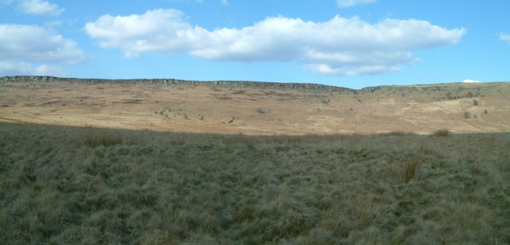
The sites lay next to each other on two spurs of land below Stanage Edge.
(Dennis SK228840 & Sheepwash SK230841)
stubob Posted by stubob
10th April 2003ce