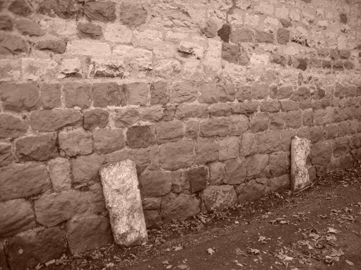
Beckhampton Avenue, an avenue of stones which, according to Stukeley, extended from the west entrance of Avebury across the Winterbourne, and on in a south-westerly direction south of the Long Stones (see SU 06 NE 56), one of which could have probably formed part of the Avenue, to a spot in the valley west of Beckhampton (SU 100690 to SU 082688, see plans (2) (3)) and called by him Beckhampton Avenue. Stukeley considered its length equal to that of the West Kennet Avenue, with the transverse and longitudinal intervals of the stones similar. By the time Stukeley made his plans there remained only thirty-odd stones (all but three recumbent) some in pairs, out of possibly two hundred, and by the end of the 18th century nothing remained except the Long Stones. "On the whole, then, the grounds for accepting the former exsistence of the Beckhampton Avenue seem to be strong, though the question of its full extent and precise relationship to the Long Stones must remain open." (1) Stukeley's theory was supported by the finding in 1968, during the inspection of cable trenches of (i) the possible robbing pit of a stone in the High Street, Avebury SU 099699 and (ii) a buried stone beside the A4 road SU 087690, both on line with the Avenue. (1-5)
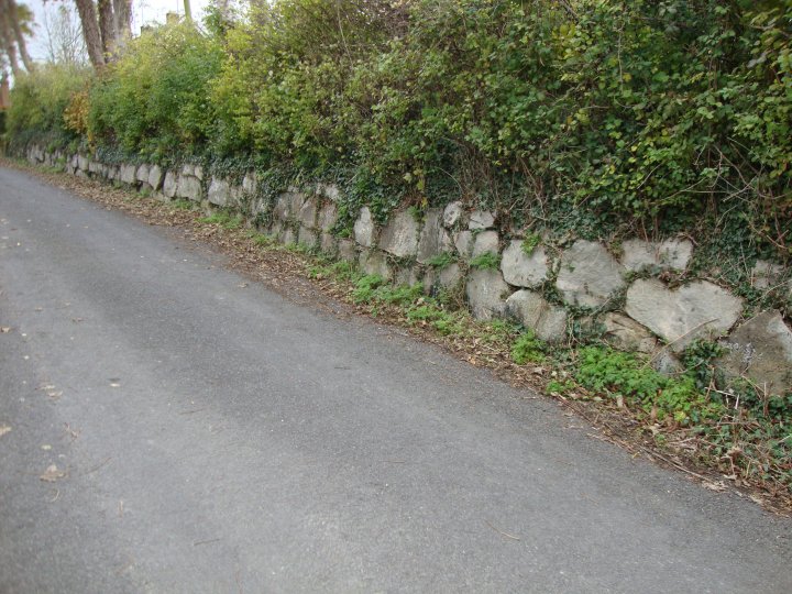
No evidence of the Beckhampton Avenue remains except for the Long Stones. No further information regarding the "finds" made in 1968. (6) A large buried sarsen at SU 08776897 and a possible stone robbing hold at SU 08766898, 12.0m to the W, were encountered in October 1965 in a GPO trench. Identified by Mrs Vatcher as almost certainly part of the Beckhampton stone row recorded by Stukeley. (7)(7a) Accounts of the discovery of the recumbent sarsen (8). Extracts from this particular record (notably those prepared by R1 and F2 above) were singled out for criticism by Ucko et al (9) as an example of the 'continuing fascination in attempting to fit the occasional find of sarsens, pits, and other features into Aubrey's or Stukeley's presumed patterns'. The debate as to whether the Beckhampton Avenue existed at all is touched on in many of the items listed in the bibliography for Avebury (SU 16 NW 22) and is discussed most recently by Ucko et al, who also published the results of the geophysical survey carried out in January 1989 in the area of the Longstones (SU 06 NE 56), the findings of which 'neither disprove nor support Stukeley's firm assertion of the presence of an avenue.' Burl (10) argues for impartial independent support for Stukeley's 'firm assertion' in the work of Rev Thomas Twining. Twining's plan is reproduced by Ucko et al (p. 38). Twining depicted a wedge-shaped pattern of avenues which he regarded apparently as representing the island of Britain as conceived by the Romans. (8-10)
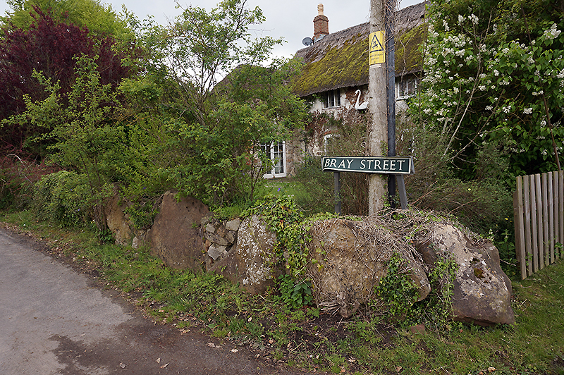
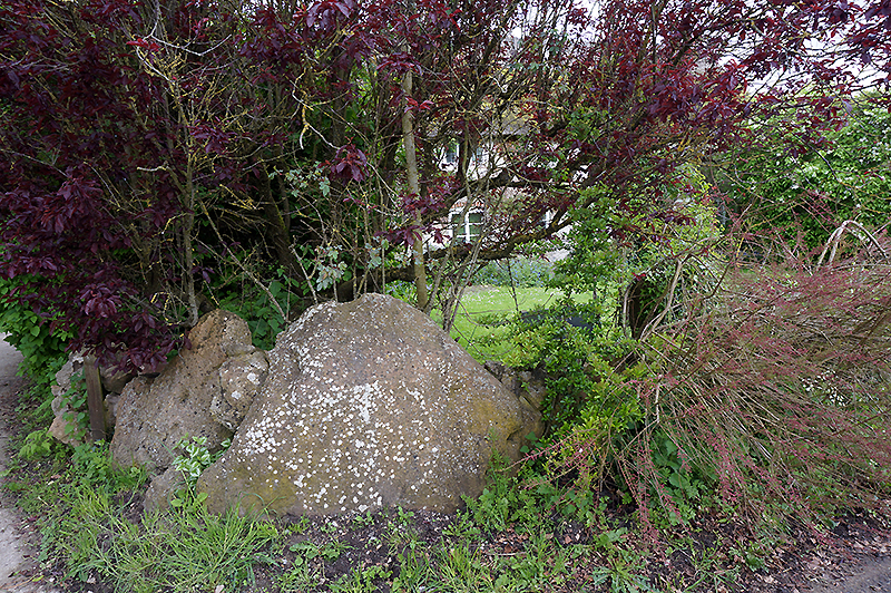
Stukeley believed that there'd been an avenue on the west side of Avebury - he recorded two remaining (now removed) stones of it where it joined the main circle, opposite the churchyard. He also noted many other boulders and suspicious looking depressions in the ground. He said it had crossed the Winterbourne stream (some stones subsequently being incorporated into the bridge), through where a row of houses were present on the south side of Bray Street, and headed out into "open plow'd fields" to join the Longstones. Stukeley imagined there would be a temple rather like the Sanctuary at its end, but he found nothing. Still, for those who would like to dream, he did predict the avenue, and as we know for many many years this was held to be a silly idea...
(unfortunately gleaned from Pitts' 'Hengeworld' and not Stukeley's own writings)
Stukeley was convinced that the avenue continued beyond Longstones Field to the south-west, eventually terminating on a low hill at Fox Covert ('a most solemn and awful place'). However, the archaeologists from Southampton aren't convinced, and believe the avenue actually ended in Longstones Field, at or just beyond the cove, though 'ambiguities remain'. Which is still an impressive 4km to the Sanctuary.
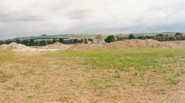
Diary notes and excavation photos from 2003 showing the work carried out around the Long stones together with buried stones from the Beckhampton Avenue.

 Artistic / Interpretive:
 Posted by Chance
 Posted by Rhiannon