I live close by so i thought i might take a walk and have a look.The easiest an safest way to get here without running foul of the landowner is to walk down to the lakes off southwell road and take the footpath from the lakes to the A617.The path runs parallel to where you want to be..it means a quick dash from the path across the field to the site...if its been raining the clay soil will devour you!!..
The site is really overgrown and is a struggle to walk through..Wear boots!.
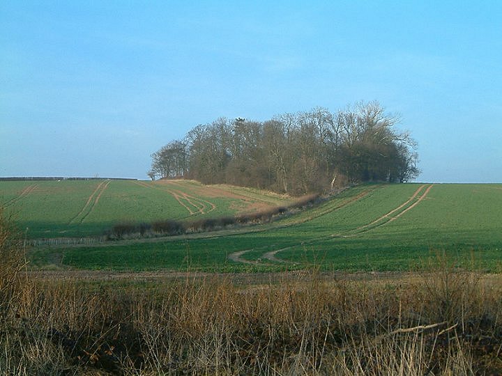
Couldnt really make out anything nor spot any visual evidence of a settlement.(Evidence of gamekeeping in the past is littered about, old cages, traps and LOTS of used cartridges!!).
The undergrowth hides the ground heavily though...
I risked it and droved down a private road, and that's when the problems started. Just as I started out walking, some geezer spotted me....and said there was no chance I was gonna be walking round the fields. Big bloke too, so I didn't.
Looking closer at the map when I got back I realised I'd taken the wrong road anyhow.........
The 'Archi' disc reckons there's an Iron Age hillfort with a number of defensive banks there.